
Caplin, Jean-François

Jean-François Caplin (1779 - c. 1829) was a French engraver. He worked for the Dépôt de la Marine and the Administration des Ponts et Chuassées and created topographic maps and nautical charts.
Increasing French interest in Mexico.
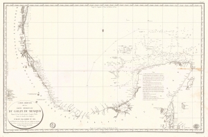
Carte Réduite de la Partie Méridionale du Golfe du Mexique Depuis le Cap Catoche jusqu'à Laguna Madre.
$950.00
Acquire
- Digital Map Information
- Suitable for large format printing
- Full resolution TIFF file
- ICC color profile embedded
- Delivered instantly via download link
This is an 1826 Dépôt de la Marine nautical map of the Gulf Coast of Mexico. The publication of this map in France reflects renewed and growing imperial interest in the New World, which culminated in the French Intervention in Mexico (1838 - 1839). This coast, and the Yucatan specifically, was the most important and wealthiest part of Mexico. The Yucatan was the only place in the world where sisal could be farmed from Henequen agave - the source of most of the world's nautical rope until the invention of synthetics. (more details)
An incredible detailed chart of Guanabara Bay - including many of its islands.
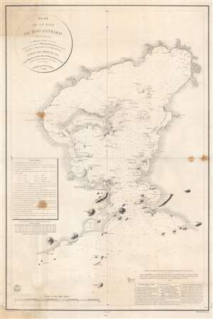
Plan de la Baie de Rio - Janeiro.
$1,000.00
Acquire
- Digital Map Information
- Suitable for large format printing
- File Size: 66.1 MB
- File Type: ZIP / TIFF
- ICC color profile embedded
- Delivered instantly via download link
This is an 1866 edition of the Dépôt de la Marine nautical chart or map of Guanabara Bay, Rio de Janeiro, Brazil. Rio de Janeiro appears near the mouth of the bay, with numerous buildings illustrated but not labeled. The only identified building is the Chateau S. Cristovaô (situated outside the city) which is marked as the Residence of the Emperor. The Ile do Governador (Ilha do Governador - today the site of Rio de Janeiro's Galeão - Antônio Carlos Jobim International Airport) is prominently illustrated, with its coastline appearing in detail. Numerous smaller islands throughout the bay are depicted as well. Smaller bays, capes, points, and even beaches are labeled around the bay. Depth soundings fill the bay, providing a more detailed understanding of its navigability. (more details)