
Clark, Richard

Richard Clark (fl. c. 1850 - 1865) was an American cartographer active in the middle part of the 19th century. Though he seems to have been based in Philadelphia, most of Clark's work was compiled in conjunction with other publishers and focused on Connecticut and Massachusetts. Clark is associated with several maps, but his most important are a wall map of Fairfield County, Connecticut, and Connecticut itself. Little is known of Clark's life.
Largest 19th century map of Connecticut.
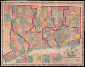
Clark and Tackabury's New Topographical Map of the State of Connecticut.
$1,800.00
Acquire
- Digital Map Information
- Suitable for large format printing
- Full resolution TIFF file
- ICC color profile embedded
- Delivered instantly via download link
An attractive 1859 first edition example of Richard Clark and Robert and George Tackabury's important wall map of Connecticut. Drawn on a scale of 1.5 miles to the inch, this is the largest and most complete map of Connecticut to appear in the 19th century. (more details)
Best mid-19th century map of Connecticut.
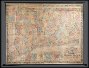
Clark and Tackabury's New Topographical Map of the State of Connecticut.
$1,500.00
Acquire
- Digital Map Information
- Suitable for large format printing
- File Size: 3.13 MB
- File Type: ZIP / TIFF
- ICC color profile embedded
- Delivered instantly via download link
A 1859 first-edition example of Richard Clark and Robert and George Tackabury's important wall map of Connecticut. When published, it was by far the best and largest map of the state obtainable. (more details)