
Coello de Portugal y Quesada, Francisco
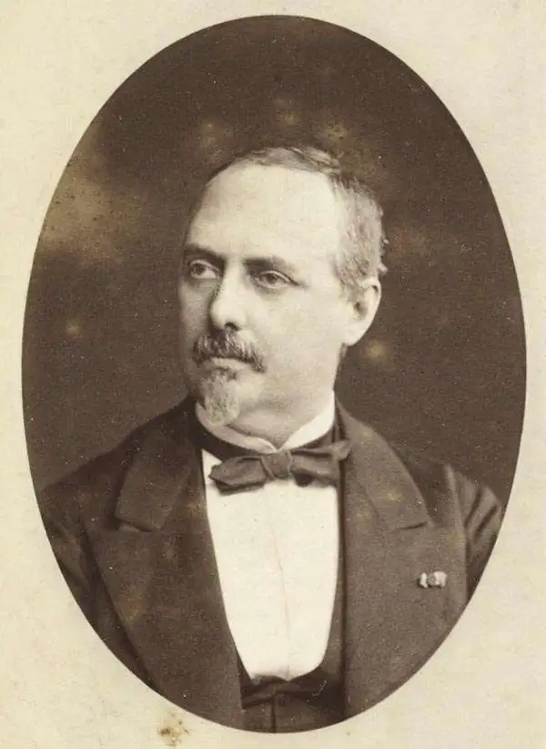
Francisco Coello de Portugal y Quesada (1822 - September 30, 1898) was a Spanish cartographer, explorer, and military engineer active in the mid-19th century. Coello was born in Jaen, Spain and joined the military in 1833, enrolling at the Special Army Corps of Engineers Academy of Guadalajara. Upon graduating with honors he joined Corps of Military Engineers where after serving in the First Carlist War, and later in Algeria, he attained the rank of Colonel. Coello later founded the Geographical Society of Madrid and served many years as its president. He was also a corresponding member of the American Geographical Society and a full member of the Real Sociedad Geográfica de España. Coello's greatest work, his monumental Atlas de España y sus posesiones de Ultramar, was truncated by his death in 1898 and consequently never completed. Nevertheless, the work is of historical significance as the first scientifically produced maps of Spain, Cuba, and Porto Rico.
Most influential map of the Philippines of the 19th century.
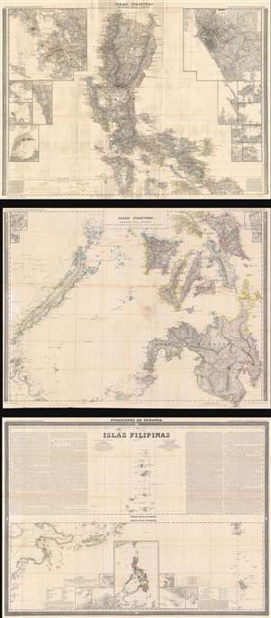
Islas Filipinas Primera Hoja Central. Islas Filipinas Segunda Hoja Central. Posesiones de Oceania. Islas Filipinas. Atlas de España y sus Posesiones de Ultramar.
$2,200.00
Acquire
- Digital Map Information
- Suitable for large format printing
- Full resolution TIFF file
- ICC color profile embedded
- Delivered instantly via download link
This is Francisco Coello's 1852 map of the Philippine Islands, published on 3 sheets. It is considered the first scientific map of the Philippines. It is the most influential general map of the Philippines to appear in the mid-19th century, used in treaty negotiations for both the Spanish-American War (1898) and the Philippine-American War (1899 - 1902). (more details)