
Coello de Portugal y Quesada, Francisco (sold)
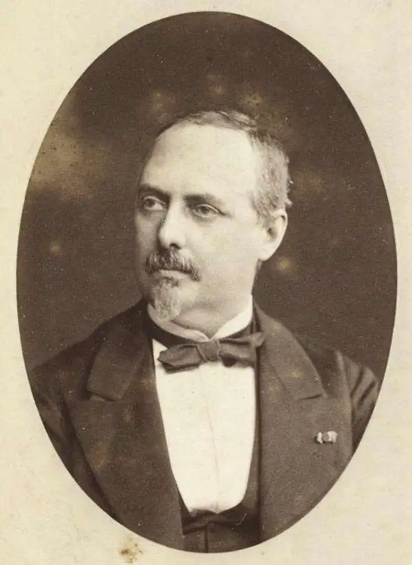
Francisco Coello de Portugal y Quesada (1822 - September 30, 1898) was a Spanish cartographer, explorer, and military engineer active in the mid-19th century. Coello was born in Jaen, Spain and joined the military in 1833, enrolling at the Special Army Corps of Engineers Academy of Guadalajara. Upon graduating with honors he joined Corps of Military Engineers where after serving in the First Carlist War, and later in Algeria, he attained the rank of Colonel. Coello later founded the Geographical Society of Madrid and served many years as its president. He was also a corresponding member of the American Geographical Society and a full member of the Real Sociedad Geográfica de España. Coello's greatest work, his monumental Atlas de España y sus posesiones de Ultramar, was truncated by his death in 1898 and consequently never completed. Nevertheless, the work is of historical significance as the first scientifically produced maps of Spain, Cuba, and Porto Rico.
The first scientific topographical map of the Philippines and the most important map of the Philippines to appear in the 19th century.
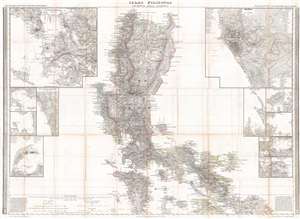
Islas Filipinas Primera Hoja Central.
sold
- Digital Map Information
- Suitable for large format printing
- DPI: 300
- File Size: 40.69 MB
- File Type: ZIP / TIFF
- ICC color profile embedded
- Delivered instantly via download link
A stunning 1849 Francisco Coello map of the Philippine Islands. This map is considered the first scientific topographical map of the Philippines and the most important map of the Philippines to appear in the 19th century. Of the three maps Coello prepared of the ... (more details)
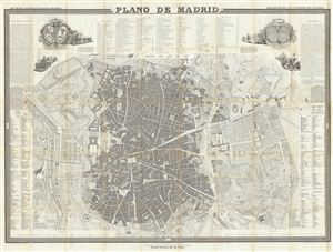
Plano de Madrid.
sold
- Digital Map Information
- Suitable for large format printing
- DPI: 300
- File Size: 52.26 MB
- File Type: ZIP / TIFF
- ICC color profile embedded
- Delivered instantly via download link
A fine example of Francisco Coello de Portugal y Quesada's massive map of Madrid, Spain. Coello's map is one of the finest and largest maps of Madrid to appear in the 19th century. Centered on the Puerta del Sol, this map covers the center of modern Madrid as ... (more details)
The first scientifically produced map of Puerto Rico.
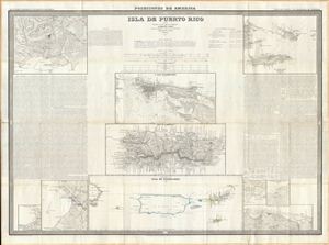
Isla de Puerto Rico por el Teniente Coronel Capitan de Ingenieros D. Francisco Coello, las notas estadisticas e historicas han sido escritas por D. Pascual Madoz. Madrid 1851.
sold
- Digital Map Information
- Suitable for large format printing
- Full resolution TIFF file
- ICC color profile embedded
- Delivered instantly via download link
A fine example of Francisco Coello de Portugal y Quesada's massive map of Puerto Rico. Coello's map is the first scientifically produced Spanish map of Puerto Rico. The map is essentially ten individual maps on a signal sheet with extensive historical and ... (more details)
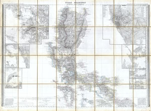
Islas Filipinas, Primera Hoja Central
sold
- Digital Map Information
- Suitable for large format printing
- Full resolution TIFF file
- ICC color profile embedded
- Delivered instantly via download link
This magnificent 1852 hand colored case map of the Philippines was issued by Dr. Morata and Francisco Coello of Madrid. In 32 folding sections mounted onto linen. Covers the central Philippines including the island of Luzon (w/ Manila), the island of ... (more details)
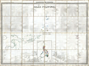
Islas Filipinas, Posesiones de Oceania
sold
- Digital Map Information
- Suitable for large format printing
- Full resolution TIFF file
- ICC color profile embedded
- Delivered instantly via download link
This magnificent 1852 hand colored case map of the Philippines was issued by Dr. Morata and Francisco Coello of Madrid. In 32 folding sections mounted onto linen. Covers the Philippine Islands and the entirety of the Spanish possessions in Oceania.. ... (more details)
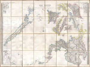
Islas Filipinas, Segunda Hoja Central
sold
- Digital Map Information
- Suitable for large format printing
- Full resolution TIFF file
- ICC color profile embedded
- Delivered instantly via download link
This magnificent 1852 hand colored case map of the Philippines was issued by Dr. Morata and Francisco Coello of Madrid. In 32 folding sections mounted onto linen. Covers the Philippines and extends south from Manila Bay to the Island of Mindano and ... (more details)
The finest map of Cuba to appear in the 19th century.
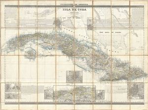
Isla de Cuba.
sold
- Digital Map Information
- Suitable for large format printing
- DPI: 300
- File Size: 54.34 MB
- File Type: ZIP / TIFF
- ICC color profile embedded
- Delivered instantly via download link
A fine example of Francisco Coello de Portugal y Quesada's massive 1853 map of Cuba. Coello's map is the first scientifically produced Spanish map of Cuba and is presented on a previously unseen scale. The topography is the work of Camilo Alabern ... (more details)