
Dalrymple, Alexander
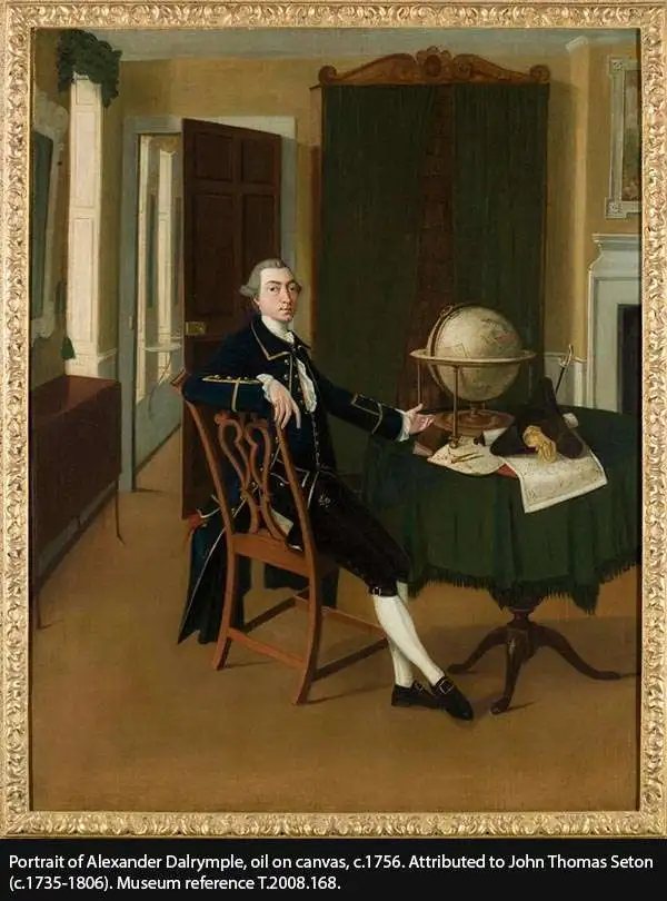
Alexander Dalrymple (July 24, 1737 - June 19, 1808) was a Scottish geographer and hydrographer active with East India Company and later as first Hydrographer to the British Admiralty. Dalrymple was born at Newhailes, near Edinburgh, Scotland, the 11th of 15 children of James Dalrymple and his wife, Christian Hamilton, the daughter of the Earl of Haddington. He joined the East India Company in 1752, at which point he was immediate sent to Madras, India. There he advocated for increased trade with the East Indies and China, negotiating a treaty with the Sultan of Sulu and visiting Canton (Guangzhou), China. He went on to develop an interest in historical voyages and navigation. In 1772, Dalrymple published his first set of charts, four of which were of the seas around Sulu. In 1779, he headed the hydrographic office of the East India Company, and that of the Admiralty in 1795. Dalrymple was instrumental in advancing the mapping of uncharted waters, particularly in the East Indies and the Pacific Ocean. He was an advocate for the existence of a large southern continent, Terra Australis, which influenced British exploration efforts. Dalrymple’s extensive work on nautical charts and navigational information significantly improved the safety and accuracy of sea voyages. His dedication to hydrography laid the groundwork for future maritime exploration.
EIC China Trade: Charting a new course.
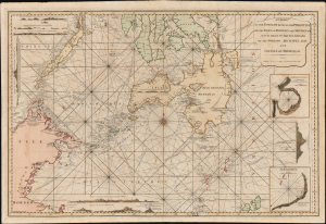
A Chart of the Passages Between the Philippine and The Isles Of Borneo And Mindanao With those to the Southward of the Sooloo Archipelago and the Isle of Mindanao.
$7,000.00
Acquire
- Digital Map Information
- Suitable for large format printing
- Full resolution TIFF file
- ICC color profile embedded
- Delivered instantly via download link
This large, rare nautical chart is Laurie and Whittle's 1794 maritime map of the southern Philippines, particularly Mindanao, Palawan, and the Sulu Sea. It presents improvements resulting from more than three decades of British East India Company voyages through these passages, and is certainly informed by, and possibly the work of, one of the EIC's most successful captains and ship owners, John Pascall Larkins. (more details)
First British embassy to China.
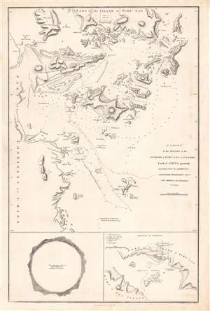
A chart of the islands to the southward of Tchu-san on the eastern coast of China.
$500.00
Acquire
- Digital Map Information
- Suitable for large format printing
- Full resolution TIFF file
- ICC color profile embedded
- Delivered instantly via download link
This is a rare 1796 John Barrow map of modern day Zhoushan (舟山市; Tchu-San), China, prepared to illustrate the official report of the 1793 Macartney Embassy to China. The Embassy has been seen as a deeply consequential historical interaction between China and the British Empire which heralded the systematic crises China would face in the 19th century. (more details)
First British diplomatic mission to China.
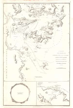
A Chart of the Islands to the Southward of Tchu-san on the Eastern Coast of China generally laid down from one published by Alexander Dalrymple Esqre. with additions and alternations.
$400.00
Acquire
- Digital Map Information
- Suitable for large format printing
- Full resolution TIFF file
- ICC color profile embedded
- Delivered instantly via download link
This is a rare 1796 John Barrow map of modern day Zhoushan (舟山市; Tchu-San), China, prepared to illustrate the official report of the Macartney Embassy to China. At the time Zhoushan (Ting Hai) was a walled city just south of modern-day Shanghai on the opposite side of Hangzhou Bay. The city guarded the entrance to the Qiantang River and thus access to Hangzhou (杭州市). Coverage here extends from Zhoushan Islands south to roughly Dayang Islet and Jiushan Chan Island. Tracks follow the Clarence, one of Macartney's ships as it entered and left the Bay. At the bottom of the map, a curious circular panorama illustrates the view from the Clarence from its anchorage in Zhoushan harbor. (more details)