
Duval, Peter Stephen (Duval's Lithographic Establishment, Duval's Establishment, P.S. Duval and Son, Lehman and Duval)
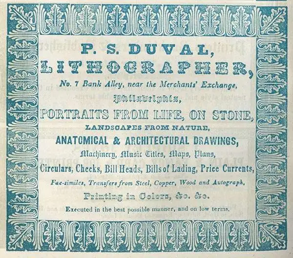
Peter Stephen Duval (1804 - February 8, 1886) was a prominent French-American Philadelphia lithographer. He immigrated to Philadelphia from France in 1831 to take a job as a lithographer at the Philadelphia firm of Cephas Childs (Childs and Inman), one of Philadelphia's first commercial lithographing firms. In 1834, Childs retired and Duval took over the business with the artist George Lehman, operating as Lehman and Duval. Duval bought out Lehman in 1837 and from that point forward operated as P. S. Duval's Lithographic Establishment, or just Duval's Establishment. In the 1840s, he became one of the first firms to introduce steam powered lithographic presses. In 1841 he became a naturalized U.S citizen. At one point he had over 30 pressers and employed one 70 artists and was one Philadelphia's largest lithographic printer. Over the course of the next 30 years, Duval would have several business partners including the Swiss-American engravers Charles and Frederick Bourquin (1808 - 1897). In 1857 his son Steven C. Duval joined the business. Peter Duval retired in 1869 but continued to be involved in his company until his death from an enlarged heart in 1886. Duval was a member of the local branches of the Freemasons and the Order of Odd Fellows in addition to being president of the Philadelphia's Lithographers' Association.
AKA: Duval's Lithographic Establishment, Duval's Establishment, P.S. Duval and Son, Lehman and Duval
On the cover of Ristow's 'Maps and Mapmakers.'
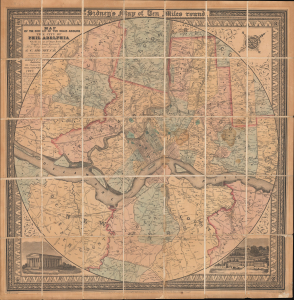
Map of the Circuit of Ten Miles Around the City of Philadelphia With the names of Villages, Roads, Milles, Property Owner, Taverns, etc. / Sidney's Map of Ten Miles round.
$3,800.00
Acquire
- Digital Map Information
- Suitable for large format printing
- File Size: 35.64 MB
- File Type: ZIP / TIFF
- ICC color profile embedded
- Delivered instantly via download link
This is an attractive example of J. C. Sidney's 1847 map of Philadelphia, covering the city and its vicinity 'Ten Miles round'. Smith, the publisher, considered this one of the 'most successful of his maps'. Water Ristow, in American Maps and Mapmakers, placed this map on the cover, devoted a full-page illustration to it, and included several pages of text, underscoring its significance as an example of mid-19th-century American map publishing. Indeed, its producers were a who's who of Philadelphia map publishing: Robert Persall Smith, Norman Friend, Augustus Köllner, Peter Steven Duval, and James Charles Sidney. (more details)
'...most important of all the maps of 1848,' -Wheat
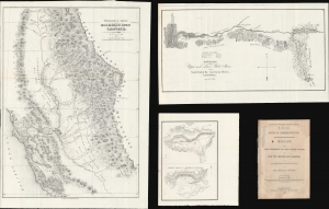
Topographical Sketch of the Gold and Quicksilver District of California. / Positions of the Upper and Lower Gold Mines on the South Fork of the American River, California. / Upper Mines. / Lower Mines or Mormon Diggings.
$2,250.00
Acquire
- Digital Map Information
- Suitable for large format printing
- Full resolution TIFF file
- ICC color profile embedded
- Delivered instantly via download link
This is a series of three 1848 maps by E. O. C. Ord of the gold discoveries in California's Sacramento Valley. These are, in aggregate, the first and most significant early maps illustrating the 1849 California Gold Rush, compiled to introduce the gold discovery to the U.S. Congress. As noted by Wheat, these were 'the first map[s] to make any pretense at cartographic accuracy after the gold discoveries,' thus being 'the most important of all the maps of 1848 . . . of paramount importance in any cartographical consideration of the gold rush.' The maps accompany Ex. Doc. No. 1, issued for the House of Representatives. (more details)