
Gillette, John Edward

John Edward Gillette (1828 - March 10, 1911) was an American map publisher. Gillette published several county maps of New York as well as a map of the vicinity of Philadelphia. Gillette died in Hudson, New York. Per his obituary, Gillette 'is best remembered as the organizer of the American Paper Car Wheel Company, whose process of making wheels of pressed paper was successful from the start'.
Poughkeepsie and Hyde Park.
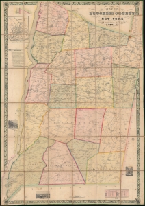
Map of Dutchess County New-York From Original Surveys.
$2,200.00
Acquire
- Digital Map Information
- Suitable for large format printing
- DPI: 600
- File Size: 242.51 MB
- File Type: ZIP / TIFF
- ICC color profile embedded
- Delivered instantly via download link
This is an 1850 James C. Sidney wall map of Dutchess County, New York, published a year after the Hudson River Railroad reached Poughkeepsie and a year before it reached Albany. The map marks a definitive moment in Dutchess County history, when the railroad opened the region - for the first time, to large-scale commerce and industry. This is, consequently, the largest and best early map of Dutchess County to appear before the American Civil War (1861 - 1865). This is moreover, an exceptional example of an early-American county map, the precursor of later town and county maps by Beers, Walling, and others. (more details)
Estates of New York's 'Aristocracy'.
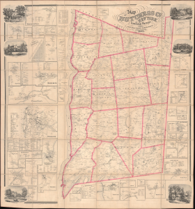
Map of Dutchess Co. New York from Actual Surveys.
$3,500.00
Acquire
- Digital Map Information
- Suitable for large format printing
- DPI: 600
- File Size: 205.94 MB
- File Type: ZIP / TIFF
- ICC color profile embedded
- Delivered instantly via download link
This is John Gillette's 1858 very large-format case map of Dutchess County, New York. It is notable, among other features, for including the estates of the leading families of New York, including the father and grandfather of future president Franklin D. Roosevelt. (more details)
Rangeley Lakes Region.
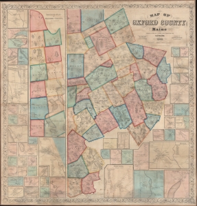
Map of Oxford County Maine.
$2,750.00
Acquire
- Digital Map Information
- Suitable for large format printing
- File Size: 500.18 MB
- File Type: ZIP / TIFF
- ICC color profile embedded
- Delivered instantly via download link
A superb example of H. F. Walling's 1858 wall map of Oxford County Maine. Composed of much of Maine's western border, the map embraces parts of the beautiful Rangeley Lakes Region, including Mooselookmeguntic Lake and the adjacent Richardson Lakes. (more details)