
Kenyon Company, Map Makers

The Kenyon Company, Map Makers (fl. 1874 - c. 1930) was an American printing and publishing firm based in Des Moines, Iowa. The company published maps, atlases, and books, and advertised their high-grade calendars in the Des Moines Tribune.
Shipping and Speculation.
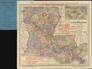
Map of Louisiana.
$300.00
Acquire
- Digital Map Information
- Suitable for large format printing
- Full resolution TIFF file
- ICC color profile embedded
- Delivered instantly via download link
This is an unrecorded 1903 Kenyon Company pocket map of Louisiana, produced as a promotional piece for the E. C. Drew Investment Company. The map and promotional text reflect the prevalence of railroad and land speculation in the southern U.S. at the time. (more details)
Early Days of Automobiles in Oklahoma.
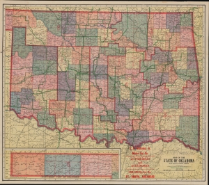
Map of the State of Oklahoma with Latest Official Census / Road Map of Oklahoma.
$450.00
Acquire
- Digital Map Information
- Suitable for large format printing
- Full resolution TIFF file
- ICC color profile embedded
- Delivered instantly via download link
A product of the early automotive age, this is a 1914 Kenyon Company pocket map of Oklahoma. The map emerged in the same year that Henry Ford revolutionized American manufacturing by introducing the Assembly Line, a move that made the Model-T affordable to many and launched hte Automobile Age. This map is thus significant for its forward focus on auto-routes. (more details)
The Last Weeks of the Great War
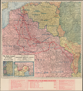
Kenyon's Map of the Western Battle Front.
$250.00
Acquire
- Digital Map Information
- Suitable for large format printing
- Full resolution TIFF file
- ICC color profile embedded
- Delivered instantly via download link
This is a 1918 Kenyon Company map of the Western Front of the First World War. It reflects the situation in the weeks before the Armistice, after the German gains of the Spring (1918) Offensives had been erased, thanks primarily to the continuous arrival of new American units, shifting the balance of forces in favor of the Entente. (more details)