
Kenyon Company, Map Makers (sold)

The Kenyon Company, Map Makers (fl. 1874 - c. 1930) was an American printing and publishing firm based in Des Moines, Iowa. The company published maps, atlases, and books, and advertised their high-grade calendars in the Des Moines Tribune.
Grassroots urbanization and the City Beautiful Movement in Des Moines.
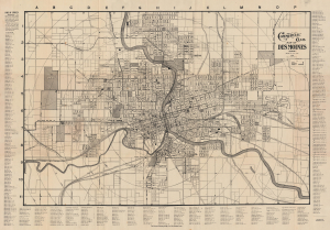
Commercial Club Map of Des Moines, Iowa.
sold
- Digital Map Information
- Suitable for large format printing
- Full resolution TIFF file
- ICC color profile embedded
- Delivered instantly via download link
This is a 1906 F. C. Tate city map of Des Moines, Iowa, one of the best early commercial maps of the city. Among other features, it details the development of the Des Moines Inter-Urban Railway and urban planning inspired by the City Beautiful Movement. (more details)
Tornado insurance.
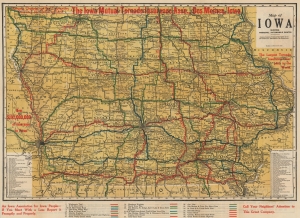
Map of Iowa Showing Principal Automobile Roads.
sold
- Digital Map Information
- Suitable for large format printing
- Full resolution TIFF file
- ICC color profile embedded
- Delivered instantly via download link
This is a 1914 Kenyon Company road map of Iowa issued with overprinting to promote the Iowa Mutual Tornado Insurance Association. (more details)
A previously uncatalogued state of Kenyon's Map of the Western Battle Front depicting the 1918 German Spring Offensive.
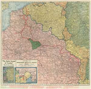
Kenyon's Map of the Western Battle Front.
sold
- Digital Map Information
- Suitable for large format printing
- File Size: 49.21 MB
- File Type: ZIP / TIFF
- ICC color profile embedded
- Delivered instantly via download link
This is a previously uncatalogued state of the 1918 Kenyon Company map of northern France, the main sector of the Western Front during World War I, and features overprinting illustrating the front line and several events between March and May 1918. The map depicts the region from Dieppe and Rouen in France to Strasbourg (Strassburg) and Mulhouse (Mulhausen) in Alsace and Basel in Switzerland. (more details)
Oklahoma City's Boom Years.
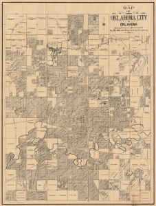
Official Street Guide and Pocket Map of Oklahoma City Oklahoma / Map of Oklahoma City Oklahoma compiled from official records by the Adams Engineering Company.
sold
- Digital Map Information
- Suitable for large format printing
- Full resolution TIFF file
- ICC color profile embedded
- Delivered instantly via download link
A scarce 1925 folding cadastral map of Oklahoma City, Oklahoma, prepared by the Adams Engineering Company and the Kenyon Map Company. Among other features, the quantity of real estate developments reflect the frenetic pace of development in the city in the first half of the 20th century. (more details)