
Lallemand, Armand Joseph

Armand Joseph Lallemand (c. 1810 - 1871) was an engraver and map publisher based in Paris during the mid-19th century. Most of Lallemand's work focused on landscapes and building vies, though he did take part in a few cartographic ventures, including the production of an atlas with Alexandre Emile Lapie and several tourist pocket maps of Paris.
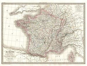
Carte de France par departemens et divisions militaires.
$150.00
Acquire
- Digital Map Information
- Suitable for large format printing
- DPI: 300
- File Size: 12.05 MB
- File Type: ZIP / TIFF
- ICC color profile embedded
- Delivered instantly via download link
A fine first edition example of M. Lapie's 1829 Map of France by Military Departments and Divisions. Centered on France, the map includes parts of adjacent Spain, england, Switzerland, Italy and Germany. Lapie's map offers fine detail throughout with elevation ... (more details)
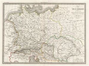
Carte de la Germanie Ancienne.
$150.00
Acquire
- Digital Map Information
- Suitable for large format printing
- DPI: 300
- File Size: 13.3 MB
- File Type: ZIP / TIFF
- ICC color profile embedded
- Delivered instantly via download link
A fine first edition example of M. Lapie's 1830 map of Ancient Germany. Centered on the Roman Germania, the map covers the lands of the Germanic peoples prior to the fall of the Roman empire. At the time Germania was a name given to the lands between the Alps ... (more details)
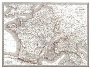
Carte des Gaules.
$175.00
Acquire
- Digital Map Information
- Suitable for large format printing
- DPI: 300
- File Size: 14.93 MB
- File Type: ZIP / TIFF
- ICC color profile embedded
- Delivered instantly via download link
A fine first edition example of M. Lapie's 1831 map of Gaul. Centered on Gallia Celtica, the map covers all the five parts of Gaul including Gallia Cisalpina, Gallia Narbonensis, Gallia Aquitania and Gallia Belgica. Gaul was the ancient name of a region of ... (more details)
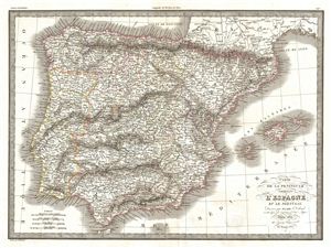
Carte de la Peninsule Comprenant l'Espagne et la Portugal.
$175.00
Acquire
- Digital Map Information
- Suitable for large format printing
- DPI: 300
- File Size: 14.65 MB
- File Type: ZIP / TIFF
- ICC color profile embedded
- Delivered instantly via download link
A fine first edition example of M. Lapie's 1831 map of the Iberia or Spain and Portugal. The map covers all of Spain and Portugal from France to the Mediterranean Sea and from the Atlantic to the Balearic Islands. During this period Portugal on the cusp of ... (more details)
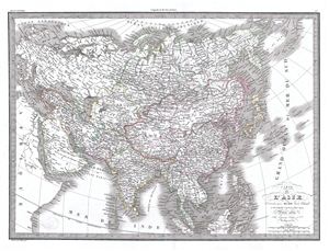
Carte de l'Asie.
$225.00
Acquire
- Digital Map Information
- Suitable for large format printing
- Full resolution TIFF file
- ICC color profile embedded
- Delivered instantly via download link
A fine first edition example of M. Lapie's 1832 map of Asia. In the early 19th century Asia was coming under increasingly imperial european sway. In India full British rule allowed england to attain naval and trade supremacy throughout the eastern ... (more details)
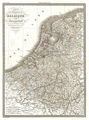
Carte des Royaumes de Belgique et de Hollande.
$175.00
Acquire
- Digital Map Information
- Suitable for large format printing
- DPI: 300
- File Size: 5.55 MB
- File Type: ZIP / TIFF
- ICC color profile embedded
- Delivered instantly via download link
A fine first edition example of M. Lapie's 1833 map of the Kingdoms of Belgium and Holland. The map covers all of Belgium and Holland from the North Sea to the Kingdom of France. Just three years prior to the making of this map, the Belgian ... (more details)
French recognition of the Republic of Texas!
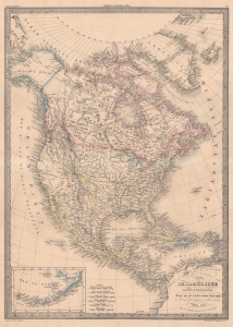
Carte de l'Amérique Septentrionale.
$700.00
Acquire
- Digital Map Information
- Suitable for large format printing
- DPI: 600
- File Size: 50.74 MB
- File Type: ZIP / TIFF
- ICC color profile embedded
- Delivered instantly via download link
This is Pierre Lapie’s 1842 map of North America highlighting the Republic of Texas. France officially recognized the nascent Republic on September 25, 1839 - before any other European power - and thus, French maps like this are some of the earliest representations of the Republic. (more details)