
Lang and Laing

Lang and Laing (fl. 1861 – August 16, 1862) were New York City based publishers and lithographers active in the middle part of the 19th century. The firm was founded by founded by William Lang and Joseph Laing and maintained offices at 117 Fulton Street, New York City. They specialized in transferring copper and steel plates to lithographic stone for more economical printing. Their most significant cartographic work is the Jacob de Cordova and Robert Creuzbaur map of Texas. The firm was dissolved in August of 1862. Lang went on to partered with Henry Pooley Cooper, and continued to publish under the Lang and Cooper imprint until 1864.
Three years before the Civil War.
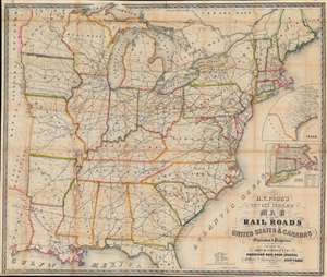
H. V. Poor's new and complete Map of All the Rail Roads in the United States and Canadas in Operation and Progress.
$950.00
Acquire
- Digital Map Information
- Suitable for large format printing
- File Size: 86.11 MB
- File Type: ZIP / TIFF
- ICC color profile embedded
- Delivered instantly via download link
This is a c. 1858 Henry V. Poor railroad wall map of the eastern United States, published just 3 years before the American Civil War (1861 - 1865). Railroads identified by name traverse the country from the Eastern Seaboard the central United States, reaching eastern Nebraska, Kansas, and Texas. (more details)
Ephemeral Territories in the American West.
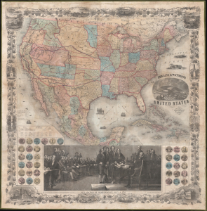
Phelps and Watson's New Map of the United States.
$3,000.00
Acquire
- Digital Map Information
- Suitable for large format printing
- Full resolution TIFF file
- ICC color profile embedded
- Delivered instantly via download link
This is a rare 1860 wall map of the United States published by Phelps and Watson. It presents the territorial configuration of U.S. states and territories on the eve of the U.S. Civil War (1861 - 1865), which would drastically reshape the map. (more details)