
Smith, John L.
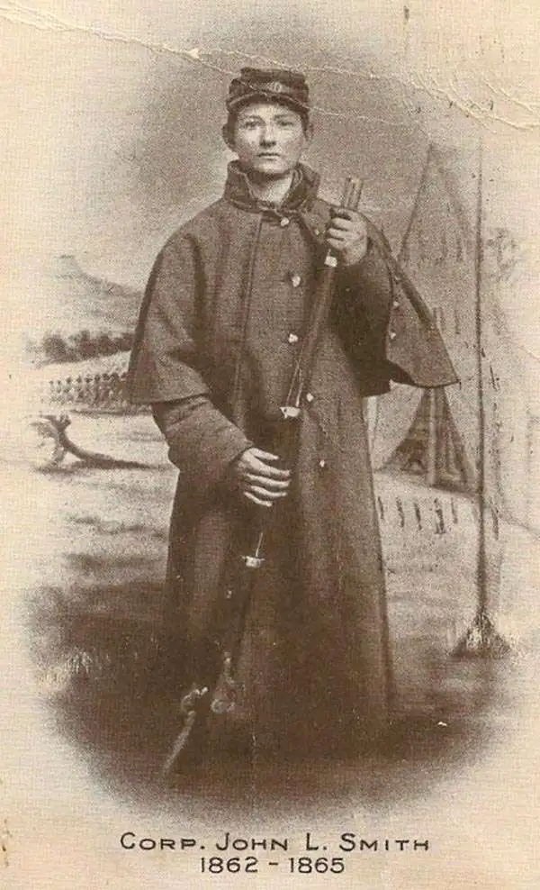
John L. Smith (March 19, 1846 - April 1, 1921) was a Philadelphia based stationer, map seller, publisher, and printer active in the late 19th and early 20th centuries. Smith served in the Civil war with Company K, 118th Pennsylvania, the 'Corn Exchange Regiment' from roughly 1862. He served in the Battle of North Anna and Bethesda Church, where he was wounded. He mustered out of service in 1865 and settled in Philadelphia. Smith subsequently worked with Rufus L. Barnes (1794 - 1868), whose business he acquired in 1868. His offices were at 27 South Sixth Street, Philadelphia. He retired from the map business in 1920. Smith rose to prominence and wealth and, when he died, left a large estate of $54,500 USD to charity. He had no children and lived as a bachelor at the Columbia Club, 1600 North Broad Street, until his death of a heart attack in 1921. He had a brother, William C. Smith, who survived him.
Philly makes its mark.
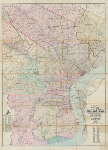
New map of the city of Philadelphia : from the latest city surveys.
$850.00
Acquire
- Digital Map Information
- Suitable for large format printing
- File Size: 53.93 MB
- File Type: ZIP / TIFF
- ICC color profile embedded
- Delivered instantly via download link
A rare 1882 first edition example of John L. Smith's large-scale folding map of Philadelphia. It depicts the city at a time when it was growing quickly and undertaking projects to reflect its size and ambition, such as the enormous new city hall, constructed between 1871 and 1901. (more details)
The Roaring Twenties in Philadelphia.
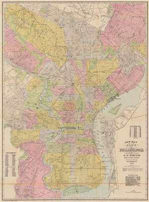
New Map of the City of Philadelphia.
$600.00
Acquire
- Digital Map Information
- Suitable for large format printing
- Full resolution TIFF file
- ICC color profile embedded
- Delivered instantly via download link
This is a 1920 John L. Smith city plan or map of Philadelphia, Pennsylvania, presents a snapshot of the city at the beginning of the 'Roaring Twenties'. Coverage extends from Cheltenham south to League Island Navy Yard and from Haddington east to the U.S. Arsenal on the banks of the Delaware River. Parks, cemeteries, college campuses, the zoological garden, and other open spaces break up Philadelphia's street grid. Streets, identified throughout, appear along with the railroad network, including the Baltimore and Ohio Railroad, and the Pennsylvania Railroad. Wharves along the Delaware River are labeled by owner, including ferries, cargo companies, and railroads. (more details)