1920 Smith City Plan or Map of Philadelphia, Pennsylvania
Philadelphia-smith-1920$600.00

Title
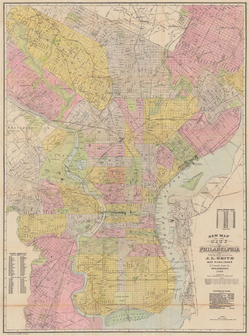
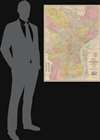
New Map of the City of Philadelphia.
1920 (dated) 40.5 x 29.75 in (102.87 x 75.565 cm) 1 : 21120
1920 (dated) 40.5 x 29.75 in (102.87 x 75.565 cm) 1 : 21120
Description
This is a 1920 John L. Smith city plan or map of Philadelphia, Pennsylvania, presents a snapshot of the city at the beginning of the 'Roaring Twenties'. Coverage extends from Cheltenham south to League Island Navy Yard and from Haddington east to the U.S. Arsenal on the banks of the Delaware River. Parks, cemeteries, college campuses, the zoological garden, and other open spaces break up Philadelphia's street grid. Streets, identified throughout, appear along with the railroad network, including the Baltimore and Ohio Railroad, and the Pennsylvania Railroad. Wharves along the Delaware River are labeled by owner, including ferries, cargo companies, and railroads.
Publication History and Census
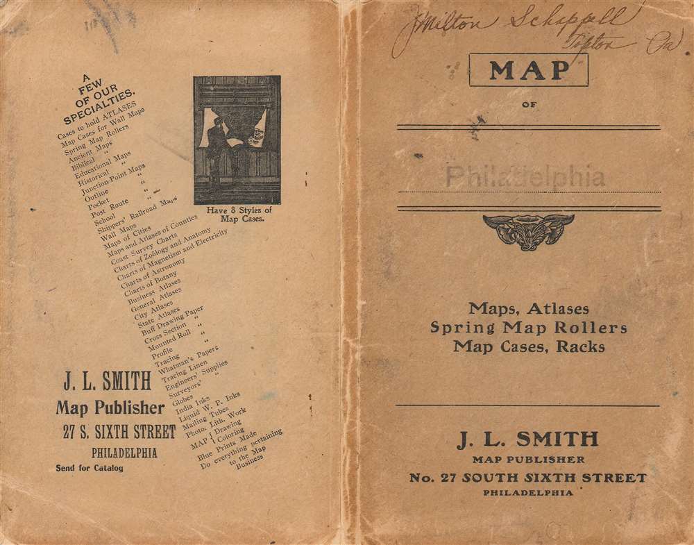
This map was created and published by John L. Smith in 1920 and was likely one of the last maps he published. This is the only known cataloged example of the present edition. Smith began publishing maps with the same title (New Map of the City of Philadelphia) as early as 1882, although there are major differences between the early editions and the present 1920 edition.Cartographer
John L. Smith (March 19, 1846 - April 1, 1921) was a Philadelphia based stationer, map seller, publisher, and printer active in the late 19th and early 20th centuries. Smith served in the Civil war with Company K, 118th Pennsylvania, the 'Corn Exchange Regiment' from roughly 1862. He served in the Battle of North Anna and Bethesda Church, where he was wounded. He mustered out of service in 1865 and settled in Philadelphia. Smith subsequently worked with Rufus L. Barnes (1794 - 1868), whose business he acquired in 1868. His offices were at 27 South Sixth Street, Philadelphia. He retired from the map business in 1920. Smith rose to prominence and wealth and, when he died, left a large estate of $54,500 USD to charity. He had no children and lived as a bachelor at the Columbia Club, 1600 North Broad Street, until his death of a heart attack in 1921. He had a brother, William C. Smith, who survived him. More by this mapmaker...
Condition
Good. Verso repairs to fold separations. Areas of infill along fold lines and at fold intersections. Wear along original fold lines.