
Snow, Edward Rowe
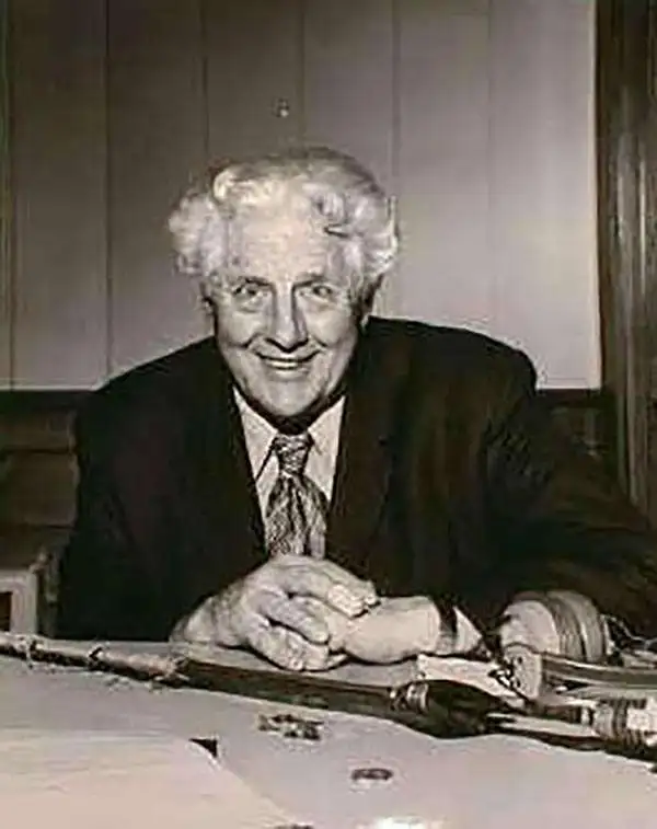
Edward Rowe Snow (August 22, 1902 – April 10, 1982) was an American author and historian. Born in Withrop, Massachusetts, Snow graduated from Harvard University and subsequently from Boston University with an M.A. Snow married Anna-Myrle Haegg on July 8, 1932 with whom he had one daughter. Snow worked as a high school teacher in Winthrop, Massachusetts for a time. He served as a first lieutenant with the XII Bomber Command during World War II and was wounded in North Africa in 1942. He was discharged in 1943 due to the wounds he received. Snow also worked as a daily columnist at The Patriot Ledger, a newspaper in Quiuncy, Massachusetts, from 1957 – 1982. He is widely remembered for his stories about pirates and other nautical subjects. Snow is the author of over forty books many shorter works. Over the course of his life, Snow was the author of over 100 publications, mostly concerning New England coastal history. He is also well remembered for maintaining the tradition of the 'Flying Santa' for over forty years (1936 – 1980). Begun in 1929, the 'Flying Santa' tradition was organized as a way to drop Christmas gifts out of airplanes to lighthouse keepers and their families along the New England coast.
A charming pictorial map of the coast of Massachusetts - features an illustration of the Gloucester Sea Serpent and several famous ships.
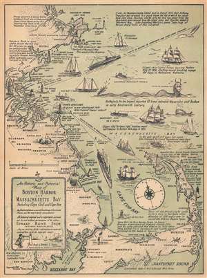
An Historic and Pictorial Map of Boston Harbor and Massachusetts Bay Including Cape Cod and Cape Ann.
$250.00
Acquire
- Digital Map Information
- Suitable for large format printing
- File Size: 10.74 MB
- File Type: ZIP / TIFF
- ICC color profile embedded
- Delivered instantly via download link
This is a 1941 Edward Rowe Snow pictorial map of Boston Harbor, Massachusetts Bay, and Cape Cod. The map depicts the Atlantic coast of Massachusetts from Cape Ann to Buzzards Bay and Nantucket Sound. Highly detailed, numerous locations along the Massachusetts coast are labeled and illustrated in profile, including the Custom House Tower in Boston, the Davenport Guildhall in Plymouth, and Leonard Craske's Gloucester fisherman statue on Cape Ann. More than a dozen lighthouses from Cape Ann to Buzzards Bay and on Cape Cod are illustrated in profile. Shipping routes from Boston to Yarmouth, New York, and Provincetown are marked and large ships are depicted following those routes. Two historically important clipper ships are also illustrated, the 'Northern Light' and 'Crystal Palace' along with fishing boats, lightships, and the Mayflower. The Cape Cod Canal, which was opened on July 30, 1914 (per the map) is also rendered. A vignette of 'His Majesty, the Sea Serpent' presents an unusual inclusion, though Snow informs us that the Sea Serpent was reported eighty-seven times between Gloucester and Boston in the early nineteenth century. Captions throughout the map provided by Snow inform the viewer of important and intriguing events that took place along this stretch of the East Coast of the United States. (more details)
An Attractive and Entertaining Pictorial Map of Cape Cod, Massachusetts
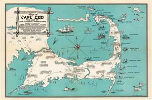
Map of Cape Cod the Land of Our Pilgrim Forefathers wherein is Indicated Cape Cod's Fifteen Towns of Provincetown, Reruro, Wellfleet, Eastham, Orleans, Brewster, Chatham, Harwich, Dennis, Yarmouth, Barnstable, Sandwich, Bourne, Mashpee, Falmouth. Actual duplications of many shipwrecks and landmarks. Designed and Planned by Edward Rowe Snow. Drawen by Ugo Donofrio. 1946.
$450.00
Acquire
- Digital Map Information
- Suitable for large format printing
- File Size: 7.47 MB
- File Type: ZIP / TIFF
- ICC color profile embedded
- Delivered instantly via download link
A charming 1946 pictorial map of Cape Cod and its towns, created by New England author and historian Edward Rowe Snow. A lover of all things piratical and nautical, Snow brusquely marks out the towns of Cape Cod with banners, but indulges himself in his depictions of ships and shipwrecks, sea birds, whales and even a sea monster menacing Provincetown. The shipwrecks are not generic, but rather are specific, named ships ranging from the Pirate ship ‘Whidah’ (Whydah Gally, a slaver and pirate ship sunk in 1717) to Submarine S-4 (SS-109, a U.S. Submarine sunk in 1927). Camp Edwards (a major WWII training ground) is marked on the map, as is Hyannis Airport. (more details)