
Stieler, Adolf
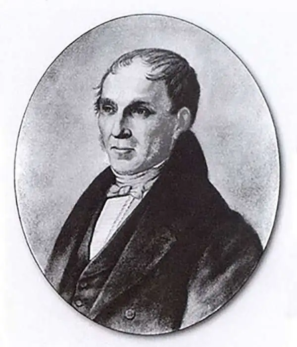
Adolf Stieler (1775 – 1836) was a German cartographer who worked most of his life in the Justus Perthes Geographical Institute in Gotha. His atlases are deservedly held in high esteem for their excellence. His Handatlas was the leading German world atlas until the middle of the 20th century, parts of which were printed until 1944.
Richly detailed China and Korea.
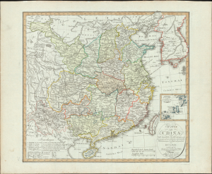
Charte von China nach Murdochischer Projection entworfen, nach den neuesten und zuverlässigsten astronomischen Ortsbestimmungen berichtiget, und gezeichnet.
$650.00
Acquire
- Digital Map Information
- Suitable for large format printing
- Full resolution TIFF file
- ICC color profile embedded
- Delivered instantly via download link
This is H. F. A. Stieler's scarce 1804 German-language map of China and Korea, presenting the region broken into provinces and applying the novel (and accurate) Murdoch Projection. It was one of the first maps Stieler produced for the newly formed Geographical Institute of Weimar. (more details)
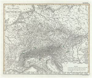
Fluss-u. Berg-Karte von Deutschland und der anlieg. Landern.
$100.00
Acquire
- Digital Map Information
- Suitable for large format printing
- DPI: 300
- File Size: 8.66 MB
- File Type: ZIP / TIFF
- ICC color profile embedded
- Delivered instantly via download link
This is a fascinating example of the 1850 Justus Perthes physical map of Germany and its neighboring countries. It covers from Denmark to the northern part of Italy and includes the modern day countries of Germany, Netherlands, Belgium, Czech Republic, Austria, ... (more details)
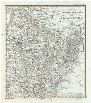
Der Nordöstliche Teil von Frankreich.
$100.00
Acquire
- Digital Map Information
- Suitable for large format printing
- DPI: 300
- File Size: 8.3 MB
- File Type: ZIP / TIFF
- ICC color profile embedded
- Delivered instantly via download link
This is a fascinating example of the 1854 Justus Perthes map of northeastern France. It covers from Nord south as far as Loire and from Rhine as far west as Seine Inferior, including parts of neighboring Switzerland and Germany. Map is highly detailed with ... (more details)
Detailing East Africa and Arabia.
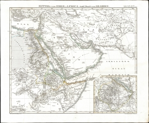
Mittel-und-Nord-Africa (östl. Theil) und Arabien.
$450.00
Acquire
- Digital Map Information
- Suitable for large format printing
- File Size: 11.96 MB
- File Type: ZIP / TIFF
- ICC color profile embedded
- Delivered instantly via download link
This is an 1845 Johann Friedrich von Stülpnagel map of eastern North Africa, Arabia, and Persia, with an inset map detailing Abyssinia in East Africa. (more details)