
Stokes, John Lort
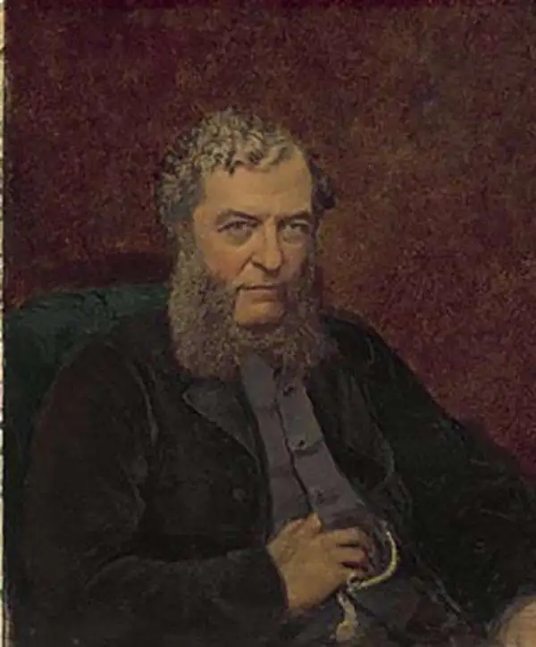
John Lort Stokes (August 1, 1811 – June 11, 1885) was a British Royal Navy officer, explorer, and hydrographer. Stokes grew up in Scotchwell near Haverfordwest, Pembrokeshire. He joined the Royal Navy on September 20, 1824. Stokes is famous as the commander of the HMS Beagle. He was assigned to the Beagle in 1824, acquiring the rank of midshipman in 1825, mate and surveyor in 1831, lieutenant in 1837, and commander in 1841. He remained with the HMS Beaglefor a total of 18 years, including during this historic 1833-1836 voyage of naturalist Charles Darwin, with whom he shared a cabin. Following the Darwin voyages in South America, the HMS Beagle was reassigned to Australia, where it carried out survey of the Australia coast. It was during this period that Stokes succeeded John Wickham as commander of the HMS Beagle. He was later given command of the HMS Acheron, with which he continued his survey of the Australian coastline. Stokes's delighted in exploration and his contribution to Australian cartography was significant, and includes the discovery of the Victory River, Port Darwin, the Flinders Rivers, and the Albert Rivers. He was speared by Aboriginals in 1839, but had full recovered by 1840. Stokes produced a several detailed charts of the Australian coast that, due to their accuracy, were still use nearly 100 years later. He retired from active duty in 1877, settling on his family estate in Scotchwell, Pembrokeshire, Wales.
One of only 4 known examples of this rare early chart of Australia's coast.
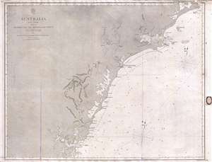
Australia East Coast Sheet IV Broken Bay to Sugarloaf Point.
$1,200.00
Acquire
- Digital Map Information
- Suitable for large format printing
- File Size: 16.08 MB
- File Type: ZIP / TIFF
- ICC color profile embedded
- Delivered instantly via download link
This is an extremely rare 1862 map of eastern Australia covering from Sugarloaf Point to Broken Bay, just north of Syndey. This is one of the earliest large scale Nautical charts provide scientifically surveyed hydrographic detail for a significant portion of the ... (more details)
Important early Stokes nautical chart of Australia inlcuding Sydney, Port Jackson, and Botany Bay.
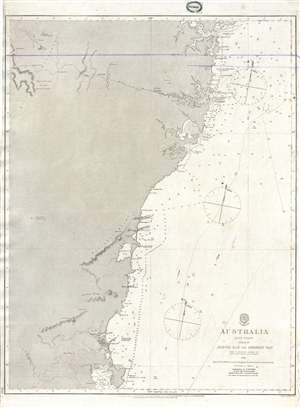
Australia East Coast Sheet III Jervis Bay to Broken Bay.
$1,200.00
Acquire
- Digital Map Information
- Suitable for large format printing
- File Size: 14.58 MB
- File Type: ZIP / TIFF
- ICC color profile embedded
- Delivered instantly via download link
This is an extremely rare 1865 map of eastern Australia covering from Broken Bay to Jervis Bay, including Sydney Port Jackson, and Botany Bay. This is one of the earliest large scale Nautical charts provide scientifically surveyed hydrographic detail for a ... (more details)
Exceptional early nautical chart of southeastern Australia including inland topography.
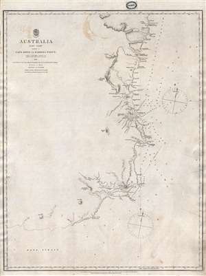
Australia East Coast Sheet I Cape Howe to Barriga Point.
$1,000.00
Acquire
- Digital Map Information
- Suitable for large format printing
- File Size: 8.96 MB
- File Type: ZIP / TIFF
- ICC color profile embedded
- Delivered instantly via download link
This is an extremely rare 1865 map of eastern Australia covering from Cape Howe to Barriga Point. It extends north as far as Mount Townsend and south to Bass Strait. Includes the popular resort of Mallacoota, Twofold Bay, Boyd, and Eden. There are ... (more details)
Exceptional early nautical chart of southeastern Australia including inland topography.
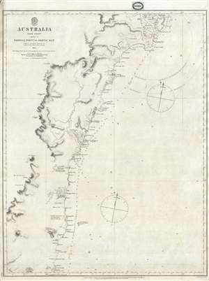
Australia East Coast Sheet II Barriga Point to Jervis Bay.
$1,000.00
Acquire
- Digital Map Information
- Suitable for large format printing
- File Size: 9.07 MB
- File Type: ZIP / TIFF
- ICC color profile embedded
- Delivered instantly via download link
This is an extremely rare 1865 map of eastern Australia covering from Jervis Bay to Barriga Point, including Ulladulla Harbor (then under construction) and Bateman Bay. It extends south as far as Mount Townsend. There are copious annotations ... (more details)
New Zealand hydrography.
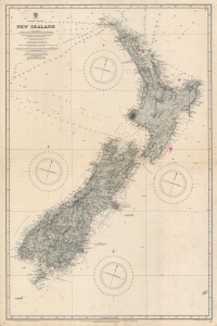
Pacific Ocean. Nea Zealand From Surveys by Captain J. L. Stokes, Commanders B. Drury and G. H. Richards...
$1,000.00
Acquire
- Digital Map Information
- Suitable for large format printing
- File Size: 55.54 MB
- File Type: ZIP / TIFF
- ICC color profile embedded
- Delivered instantly via download link
A rare 1917 British Admiralty nautical chart or maritime map of New Zealand. The map covers both North and South Islands and the surrounding waters. While depth soundings along the coastlines are extensive, soundings further out are few and far between. Lighthouses throughout are marked using the standard red and yellow convention. This map is based upon surveys completed by J. L. Stokes, one of the premier British hydrographers of his generation. Inland detail is derived from surveys completed by the Wellington Public Works Department, c. 1885. (more details)