
Tillemont, Jean-Nicolas de (Jean Nicolas du Tralage, Sieur de Tillemont)
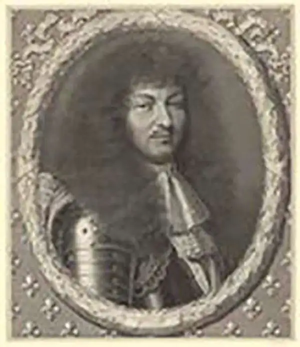
Jean-Nicolas de Tillemont (1620 - November 12, 1699), a.k.a. Jean Nicolas du Tralage, Sieur de Tillemont, was a French geographer and map collector. Little is known of his life, despite a powerful family: his uncle, Gabriel Nicolas de La Reynie (1667 - 1697) was King Louis XVI's first Lieutenant Général de Police - a man of astonishing reach and responsibility. De La Reynie was a reputed bibliophile, a passion passed along to du Tralage, who amassed a remarkable print and map collection. As a geographer, du Tralage's name is associated with a large number of maps; some published by Homann, the majority by Nolin. Manuscript evidence survives that confirms du Tralage as the author of at least some of Nolin's output, particularly regional maps of France. His contribution to Nolin's other maps is less clear and poorly understood. For example, many of the Coronelli-Nolin maps that bear du Tralage's imprint in later states show no changes that would indicate his participation. It is possible that du Tralage's Sr. Tillemon imprint was added to Nolin's maps en masse without consideration of his contribution to each individual work. As a collector, however, du Tralage's achievements are clearer. His collection of over 32000 prints, mainly maps, sets a high bar for any collector.
AKA: Jean Nicolas du Tralage, Sieur de Tillemont
'... most momentous map of the American south-west published ...' - Burden
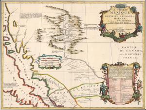
Le Nouveau Mexique appelé aussi Nouvelle Grenade et Marata Avec Partie de Californie, Selon les Memoires les plus Nouveaux.
$14,500.00
Acquire
- Digital Map Information
- Suitable for large format printing
- File Size: 17.16 MB
- File Type: ZIP / TIFF
- ICC color profile embedded
- Delivered instantly via download link
A seminally important map, this is the 1687-88 Coronelli-Nolin separately-published map of the North American Southwest, in its first edition. This map is a cornerstone for any collection dedicated to the southwest: it is the first published map to introduce the cartography of Don Diego Peñalosa with regard to the Rio Grande valley as far north as Santa Fe. Peñalosa's cartography not only has a swashbucklingly enigmatic history, but it is also foundational for most subsequent maps of the region for the next century. This is also one of the earliest maps, following the 1660 Nicolosi map, to correctly map the Rio Grande emptying into the Gulf of Mexico as opposed to the Sea of California. (more details)