
Tillemont, Jean-Nicolas de (sold) (Jean Nicolas du Tralage, Sieur de Tillemont)
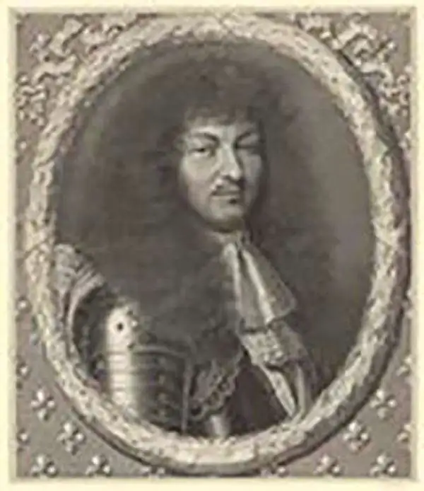
Jean-Nicolas de Tillemont (1620 - November 12, 1699), a.k.a. Jean Nicolas du Tralage, Sieur de Tillemont, was a French geographer and map collector. Little is known of his life, despite a powerful family: his uncle, Gabriel Nicolas de La Reynie (1667 - 1697) was King Louis XVI's first Lieutenant Général de Police - a man of astonishing reach and responsibility. De La Reynie was a reputed bibliophile, a passion passed along to du Tralage, who amassed a remarkable print and map collection. As a geographer, du Tralage's name is associated with a large number of maps; some published by Homann, the majority by Nolin. Manuscript evidence survives that confirms du Tralage as the author of at least some of Nolin's output, particularly regional maps of France. His contribution to Nolin's other maps is less clear and poorly understood. For example, many of the Coronelli-Nolin maps that bear du Tralage's imprint in later states show no changes that would indicate his participation. It is possible that du Tralage's Sr. Tillemon imprint was added to Nolin's maps en masse without consideration of his contribution to each individual work. As a collector, however, du Tralage's achievements are clearer. His collection of over 32000 prints, mainly maps, sets a high bar for any collector.
AKA: Jean Nicolas du Tralage, Sieur de Tillemont
An Essential, Rare Caribbean.
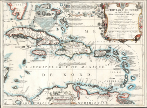
Archipelague du Mexique ou Sont les Isles de Cuba, Espagnole, Jamaique, etc. avec les Isles Lucayes, et les Isles Caribes, conniies sous le nom d’Antilles…
sold
- Digital Map Information
- Suitable for large format printing
- File Size: 21.73 MB
- File Type: ZIP / TIFF
- ICC color profile embedded
- Delivered instantly via download link
This grand, scarce map of the Caribbean and West Indies, produced by Vincenzo Coronelli and Jean-Baptiste Nolin in 1688, is the largest and most beautiful of Coronelli's maps dedicated to the West Indies. (more details)
'Probably the best 17th-century representation of the geography of eastern Canada and the eastern seaboard of America.' -Kershaw
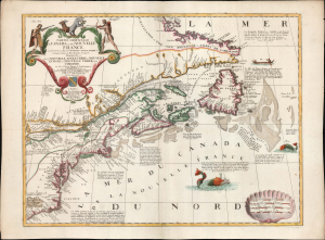
Partie Orientale du Canada ou de la Nouvelle France...
sold
- Digital Map Information
- Suitable for large format printing
- File Size: 27.19 MB
- File Type: ZIP / TIFF
- ICC color profile embedded
- Delivered instantly via download link
This is Vincenzo Coronelli and Jean Baptiste Nolin's separately-published map of Eastern Canada and the Northeastern part of the British Colonies in North America, in an attractive example. It is an essential Canadianum, incorporating up-to-date sources from both the French and English, whilst presenting pro-French territorial claims aggressively. (more details)
A scarce map of the world after Coronelli.
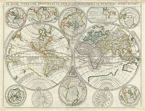
Le Globe Terrestre Represente en Deux Plans - Hemispheres, et en Diverses Autres Figures.
sold
- Digital Map Information
- Suitable for large format printing
- Full resolution TIFF file
- ICC color profile embedded
- Delivered instantly via download link
A scarce example of Jean Baptiste Nolin's 1742 map of the world in two hemispheres. The main map is surrounded by ten additional maps showing the world on various projections and at various periods. Cartographically this map combines elements from Vincenzo ... (more details)