Digital Image: 1860 Bouasse-Lebel Chart of Armorial Crests of World Powers
Armories-bouasselebel-1860_d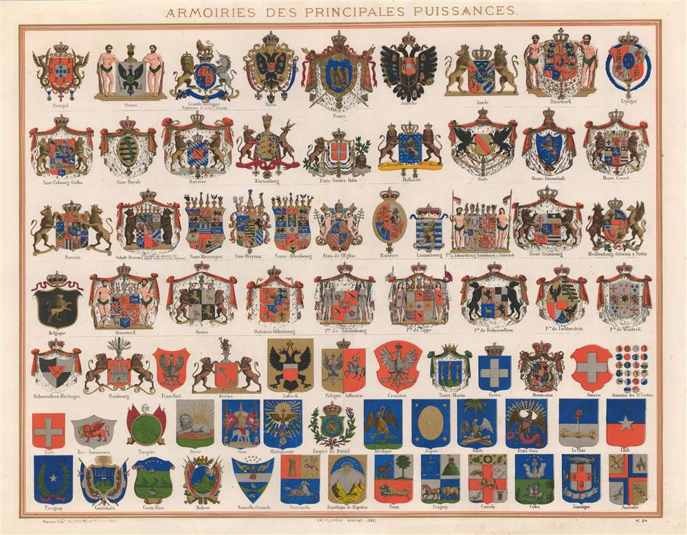

Title
Armoiries des Principales Puissances.
1860 (undated) 21.25 x 27.5 in (53.975 x 69.85 cm)
1860 (undated) 21.25 x 27.5 in (53.975 x 69.85 cm)
Description
FOR THE ORIGINAL ANTIQUE MAP, WITH HISTORICAL ANALYSIS, CLICK HERE.
Digital Map Information
Geographicus maintains an archive of high-resolution rare map scans. We scan our maps at 300 DPI or higher, with newer images being 600 DPI, (either TIFF or JPEG, depending on when the scan was done) which is most cases in suitable for enlargement and printing.
Delivery
Once you purchase our digital scan service, you will receive a download link via email - usually within seconds. Digital orders are delivered as ZIP files, an industry standard file compression protocol that any computer should be able to unpack. Some of our files are very large, and can take some time to download. Most files are saved into your computer's 'Downloads' folder. All delivery is electronic. No physical product is shipped.
Credit and Scope of Use
You can use your digial image any way you want! Our digital images are unrestricted by copyright and can be used, modified, and published freely. The textual description that accompanies the original antique map is not included in the sale of digital images and remains protected by copyright. That said, we put significant care and effort into scanning and editing these maps, and we’d appreciate a credit when possible. Should you wish to credit us, please use the following credit line:
Courtesy of Geographicus Rare Antique Maps (https://www.geographicus.com).
How Large Can I Print?
In general, at 300 DPI, you should at least be able to double the size of the actual image, more so with our 600 DPI images. So, if the original was 10 x 12 inches, you can print at 20 x 24 inches, without quality loss. If your display requirements can accommodate some loss in image quality, you can make it even larger. That being said, no quality of scan will allow you to blow up at 10 x 12 inch map to wall size without significant quality loss. For more information, it is best consult a printer or reprographics specialist.
Refunds
If the high resolution image you ordered is unavailable, we will fully refund your purchase. Otherwise, digital images scans are a service, not a tangible product, and cannot be returned or refunded once the download link is used.
Cartographer
Eulalie Bouasse-Lebel (1809 - 1898) was a French publisher. Born in Paris, she was the only daughter of Jacques-Auguste Lebel, a Parisian printer. She married Francois-Marie Bouasee, a foreman, in 1827, who abandoned Eulalie and her two children at some point, although it is unclear when. Eulalie founded her own printing firm in 1845 under the name 'Madame Bouasse, nee Lebel' and focused on religious imagery. She moved the printing house to 29, Rue St. Sulpice, then the center of the religious publishing community in Paris in 1847. In 1852, Eulalie sold her business to her eldest son, Henri, and her younger son, Emile(1832 - 1881), worked with Henri for some time. Emile left his brother's firm and started his own, Bouasse-Jeune, in 1867. Emile also based his company in St. Sulpice, and a rivalry erupted between the brothers and their firms. Both focused on religious art and were famous for their filigree, lace, and modern printing techniques, including chromolithography. Emile's widow and children took over his business after he died in 1881, and it remained in the family until the beginning of the 20th century. Henri died in 1912, and his son Albert took over Bouasse-Lebel. The company was drastically affected by the sharp decline in interest in religious art after World War II, along with the rise of cheap photographic reproductions. Albert died in 1955, and Bouasse-Lebel closed in the 1960s. More by this mapmaker...