1856 Walling Wall Map of Bennington, Vermont
BenningtonCounty-walling-1856$2,500.00

Title
Map of Bennington County, Vermont.
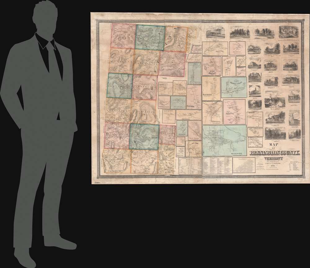
1856 (dated) 45 x 53 in (114.3 x 134.62 cm) 1 : 6330
1856 (dated) 45 x 53 in (114.3 x 134.62 cm) 1 : 6330
Description
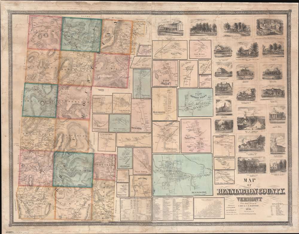
This is an impressive large-scale 1856 wall map of Bennington County, Vermont, issued by Henry Francis Walling and C. B. Peckham. This map appeared just four years after the railroads arrived in Bennington, marking the town's transition into a regional manufacturing and commercial center.
A Closer Look
The map embraces the southeast corner of Vermont, covering Bennington County from Pownall to Rupert, and from Landgrove to Readsboro. It includes the towns of Bennington, Shaftsbury, Arlington, Manchester, and Dorset, among others. Stratton Mountain, now a popular ski resort in Windhall, is also noted. Included are 29 inset town plans, detailing most communities in the county. In an unusual flourish, this map also includes an impressive 21 vignette views of important buildings, a surprising number of which still stand. These include such historic buildings as the Walloomsac Inn (Vermont's first hotel built in 1771 and today looking very much as it does in the image here), the Bennington Court House, the Manchester Court House, the Old First Church in Bennington, the Equinox Hotel in Manchester, and the Burr Seminary in Manchester (Vermont's first private academy), among others.Bennington County in the 1850s
In the 1850s, Bennington County was a predominantly rural and agrarian community characterized by a picturesque landscape of rolling hills and fertile valleys. The town of Bennington itself was a bustling hub, known for its textile mills, ironworks, and various artisan crafts. The county was also steeped in historical significance, as it played a pivotal role in the American Revolutionary War (1775 - 1783) with the 1777 Battle of Bennington. The 1850s marked a period of growth and development, with the construction of roads and railroads improving transportation and facilitating trade.Publication History and Census
This map was compiled based on wheel and rod surveys of the county compiled by E. Rice and C. E. Harwood. The map was published by Henry Francis Walling in partnership with C.B. Peckham, yet another elusive figure. Examples are held at a handful of institutions, but the map remains rare on the market.Cartographer
Henry Francis Walling (June 11, 1825 - April 8, 1889) was an American civil engineer, cartographer, surveyor, and map publisher active from the middle to late 19th century. Walling was born in Providence, Rhode Island. He studied/worked at the Providence Athenaeum before discovering a talent for mathematics and surveying. Walling took a position with Samuel Barrett Cushing (1846 - 1888), a Providence-based civil engineer with whom he issued in 1846 a revision of James Steven's Topographical Map of the State of Rhode-Island. Walling established himself independently around 1850 and immediately began preparing a series of town plans focusing on Bristol County, near Providence. Buoyed by widespread interest in his plans, Walling expanded his operations to Massachusetts, where, by 1857, he had produced no less than 50 town plans. Apparently, Walling's business model involved a contract with town officials to produce a certain number of maps, after which he acquired the right to print and sell additional copies on his own account. This work eventually led to Walling's appointment as Massachusetts "Superintendent of the State Map", a designation that began appearing on his maps around 1855. While Walling's work focused heavily on city and county maps, he successfully published three scarce state maps: Maine, Vermont, and Rhode Island. In 1856, Walling relocated his headquarters to New York City, where he had better access to quality lithographers. The Civil War (1861 - 1865) proved difficult for Walling, and diminished sales may have forced him into a partnership with Ormando W. Gray, with whom he published numerous state, county, and national atlases in the 1860s and 1870s. Around 1880, Walling took a post with the U.S. Coast Survey, with whom he worked on various charts until requesting a transfer in 1883 to the newly formed U.S. Geological Survey. Walling remained with the Geological Survey until his untimely death of a heart attack in April 1889. More by this mapmaker...
Condition
Good. Some staining. Fully restored, devarnished, laid on fresh linen with silk edging.
References
Library of Congress, G3753.B4 1856 .R5. New York Public Library, Map Div. 17-5386. OCLC 760053093.