Digital Image: 1847 Lowry / Sharpe Map of the Black Sea Region
BlackSea-lowry-1847_d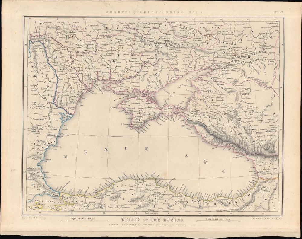

Title
Russia on the Euxine. Sharpe's Corresponding Maps No. 22.
1847 (dated) 13.25 x 16 in (33.655 x 40.64 cm) 1 : 3380000
1847 (dated) 13.25 x 16 in (33.655 x 40.64 cm) 1 : 3380000
Description
FOR THE ORIGINAL ANTIQUE MAP, WITH HISTORICAL ANALYSIS, CLICK HERE.
Digital Map Information
Geographicus maintains an archive of high-resolution rare map scans. We scan our maps at 300 DPI or higher, with newer images being 600 DPI, (either TIFF or JPEG, depending on when the scan was done) which is most cases in suitable for enlargement and printing.
Delivery
Once you purchase our digital scan service, you will receive a download link via email - usually within seconds. Digital orders are delivered as ZIP files, an industry standard file compression protocol that any computer should be able to unpack. Some of our files are very large, and can take some time to download. Most files are saved into your computer's 'Downloads' folder. All delivery is electronic. No physical product is shipped.
Credit and Scope of Use
You can use your digial image any way you want! Our digital images are unrestricted by copyright and can be used, modified, and published freely. The textual description that accompanies the original antique map is not included in the sale of digital images and remains protected by copyright. That said, we put significant care and effort into scanning and editing these maps, and we’d appreciate a credit when possible. Should you wish to credit us, please use the following credit line:
Courtesy of Geographicus Rare Antique Maps (https://www.geographicus.com).
How Large Can I Print?
In general, at 300 DPI, you should at least be able to double the size of the actual image, more so with our 600 DPI images. So, if the original was 10 x 12 inches, you can print at 20 x 24 inches, without quality loss. If your display requirements can accommodate some loss in image quality, you can make it even larger. That being said, no quality of scan will allow you to blow up at 10 x 12 inch map to wall size without significant quality loss. For more information, it is best consult a printer or reprographics specialist.
Refunds
If the high resolution image you ordered is unavailable, we will fully refund your purchase. Otherwise, digital images scans are a service, not a tangible product, and cannot be returned or refunded once the download link is used.
Cartographer S
Joseph Wilson Lowry (October 7, 1803 – June 15, 1879) was an English engraver active in London during middle to later 19th century. Joseph was the son of Wilson Lowry (1760 – 1824), also an engraver under whom he apprenticed. Lowry produced numerous important maps for other publishers and even introduced his own atlas, Lowry's Table Atlas, in 1852. He was appointed engraver to the Geological Survey of Great Britain and Ireland. More by this mapmaker...
Chapman and Hall (fl. 1830 - present) was a British publishing house in London, founded in 1830 by Edward Chapman and William Hall. Upon Hall's death in 1847, Chapman's cousin Frederic Chapman became partner in the company, of which he became sole manager upon the retirement of Edward Chapman in 1864. In 1868 author Anthony Trollope bought a third of the company for his son, Henry Merivale Trollope. From 1902 to 1930 the company's managing director was Arthur Waugh. In the 1930s the company merged with Methuen, a merger which, in 1955 participated in forming the Associated Book Publishers. The latter was acquired by The Thomson Corporation in 1987. Chapman and Hall was sold again in 1998 as part of Thomson Scientific and Professional to Wolters Kluwer, who sold on its well-regarded mathematics and statistics list to CRC Press. Today the name of Chapman and Hall/CRC is used as an imprint for science and technology books by Taylor and Francis, part of the Informa group since 2004. The company is best known for its publication of the works of Charles Dickens (from 1840 until 1844 and again from 1858 until 1870), William Thackeray, Elizabeth Barrett Browning, Eadweard Muybridge and Evelyn Waugh. They continued to publish hitherto unpublished Dickens material well into the 20th century. In cartographic circles they are known as the primary publishers of the Society for the Diffusion of Useful Knowledge Atlas, a massive 200+ map atlas that was popular in England during the mid-19th century. Learn More...
Source
Sharpe, J., Sharpe's Corresponding Atlas, Comprising Fifty-Four Maps (London: Chapman and Hall, 1947).
References
Rumsey 2175.023.