1948 Harty Map of New England Ski Resorts
BostonGlobeSkiMap-harty-1948$250.00


Title
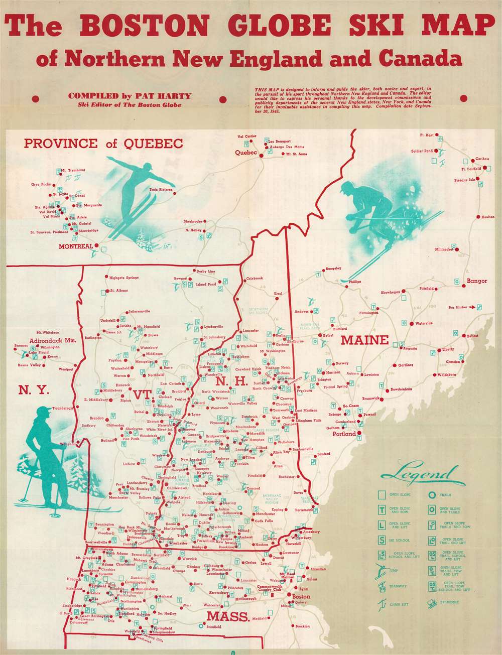
Boston Globe Ski Map of Northern New England and Canada.
1948 (dated) 21.25 x 16.5 in (53.975 x 41.91 cm) 1 : 1000000
1948 (dated) 21.25 x 16.5 in (53.975 x 41.91 cm) 1 : 1000000
Description
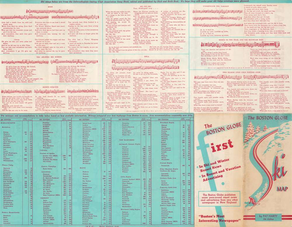
This is a 1948 Pat Harty pictorial map of New England ski resorts. Depicting from northern Maine south to northern Connecticut, red dots mark ski resorts throughout Maine, Vermont, New Hampshire, Massachusetts, and southern Quebec. Symbols provide information about conditions at each resort, such as slope conditions, if there is a ski school, and if there is a chair lift, tramway, or ski mobile. Pictorial illustrations of people skiing add charm to the piece. An index of the ski resorts appears on the verso.
Publication History and Census
This map was compiled by Pat Harty and published by the Boston Globe in 1948. This piece is not cataloged in OCLC, and we note only one other cataloged example in private hands.Cartographer
John Patrick 'Pat' Harty (April 30, 1901 - February 25, 1959) was an American outdoor sportswriter and outdoor sports enthusiast. He was an avid amateur fisherman, skier, and hunter, who had earned a reputation as an authority in these fields. He worked as the Boston Globe outdoor sportswriter for fourteen years. Born in Saxtons River, Vermont, Harty attended Bellows Falls High School and St. Michael's College in Winooski. Before entering the newspaper field, Harty worked in Danvers, Massachusetts as a sales manager and salesman for a sporting goods firm. He joined the staff of the Newburyport News during the Great Depression, where he wrote about sports and sold advertising. Harty joined the Boston Globe sports staff in November 1945. More by this mapmaker...
Condition
Very good. Light wear along original fold lines. Verso repair to a fold separation. Text on verso.