Digital Image: 1964 Institut Geographique City Map of Dakar, Senegal
Dakar-instituegeographique-1964_d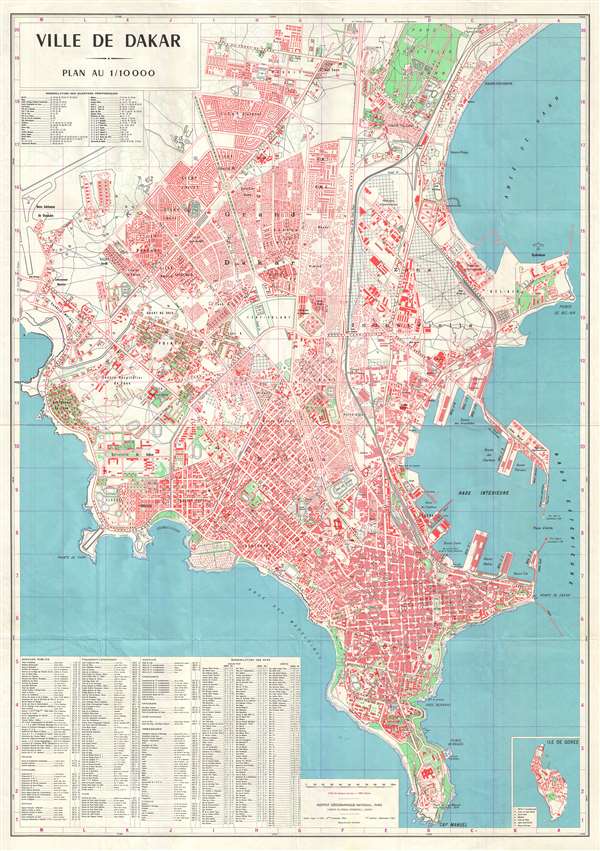

Title
Ville de Dakar.
1964 (dated) 38.5 x 27.5 in (97.79 x 69.85 cm) 1 : 10000
1964 (dated) 38.5 x 27.5 in (97.79 x 69.85 cm) 1 : 10000
Description
FOR THE ORIGINAL ANTIQUE MAP, WITH HISTORICAL ANALYSIS, CLICK HERE.
Digital Map Information
Geographicus maintains an archive of high-resolution rare map scans. We scan our maps at 300 DPI or higher, with newer images being 600 DPI, (either TIFF or JPEG, depending on when the scan was done) which is most cases in suitable for enlargement and printing.
Delivery
Once you purchase our digital scan service, you will receive a download link via email - usually within seconds. Digital orders are delivered as ZIP files, an industry standard file compression protocol that any computer should be able to unpack. Some of our files are very large, and can take some time to download. Most files are saved into your computer's 'Downloads' folder. All delivery is electronic. No physical product is shipped.
Credit and Scope of Use
You can use your digial image any way you want! Our digital images are unrestricted by copyright and can be used, modified, and published freely. The textual description that accompanies the original antique map is not included in the sale of digital images and remains protected by copyright. That said, we put significant care and effort into scanning and editing these maps, and we’d appreciate a credit when possible. Should you wish to credit us, please use the following credit line:
Courtesy of Geographicus Rare Antique Maps (https://www.geographicus.com).
How Large Can I Print?
In general, at 300 DPI, you should at least be able to double the size of the actual image, more so with our 600 DPI images. So, if the original was 10 x 12 inches, you can print at 20 x 24 inches, without quality loss. If your display requirements can accommodate some loss in image quality, you can make it even larger. That being said, no quality of scan will allow you to blow up at 10 x 12 inch map to wall size without significant quality loss. For more information, it is best consult a printer or reprographics specialist.
Refunds
If the high resolution image you ordered is unavailable, we will fully refund your purchase. Otherwise, digital images scans are a service, not a tangible product, and cannot be returned or refunded once the download link is used.
Cartographer
Institut Géographique National (1940 - present) is a French state administrative establishment organized to produce and maintain geographical information for France and its overseas departments and territories. The Institut Géographique is the successor organization to the Service Géographique de L’Armée (1887 – 1940), which was officially closed in 1940, and its maps shuttled to other organizations, with more than half going to the newly formed Institut Géographique National. When Nazi Germany invaded the IGN became a part of the hidden resistance, where it became famous for counterfeiting fake identify papers to frustrate the German controlled Vichy Regime. In secret, they brought a complete set of their maps to England, most covering France and North Africa, in order to replace maps destroyed in the bombardment of London. Today the organization has been folded into the larger Institut National de L’Information Géographique et Forestière. More by this mapmaker...
References
OCLC 71679424.