Digital Image: 1945 Cooke Geologic Map of Florida
GeologicFlorida-cooke-1945_d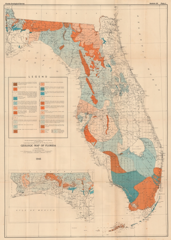


Title
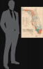
Geologic Map of Florida.
1945 (dated) 32.5 x 22.75 in (82.55 x 57.785 cm) 1 : 1000000
1945 (dated) 32.5 x 22.75 in (82.55 x 57.785 cm) 1 : 1000000
Description
FOR THE ORIGINAL ANTIQUE MAP, WITH HISTORICAL ANALYSIS, CLICK HERE.
Digital Map Information
Geographicus maintains an archive of high-resolution rare map scans. We scan our maps at 300 DPI or higher, with newer images being 600 DPI, (either TIFF or JPEG, depending on when the scan was done) which is most cases in suitable for enlargement and printing.
Delivery
Once you purchase our digital scan service, you will receive a download link via email - usually within seconds. Digital orders are delivered as ZIP files, an industry standard file compression protocol that any computer should be able to unpack. Some of our files are very large, and can take some time to download. Most files are saved into your computer's 'Downloads' folder. All delivery is electronic. No physical product is shipped.
Credit and Scope of Use
You can use your digial image any way you want! Our digital images are unrestricted by copyright and can be used, modified, and published freely. The textual description that accompanies the original antique map is not included in the sale of digital images and remains protected by copyright. That said, we put significant care and effort into scanning and editing these maps, and we’d appreciate a credit when possible. Should you wish to credit us, please use the following credit line:
Courtesy of Geographicus Rare Antique Maps (https://www.geographicus.com).
How Large Can I Print?
In general, at 300 DPI, you should at least be able to double the size of the actual image, more so with our 600 DPI images. So, if the original was 10 x 12 inches, you can print at 20 x 24 inches, without quality loss. If your display requirements can accommodate some loss in image quality, you can make it even larger. That being said, no quality of scan will allow you to blow up at 10 x 12 inch map to wall size without significant quality loss. For more information, it is best consult a printer or reprographics specialist.
Refunds
If the high resolution image you ordered is unavailable, we will fully refund your purchase. Otherwise, digital images scans are a service, not a tangible product, and cannot be returned or refunded once the download link is used.
Cartographer
Charles Wythe Cooke (July 20, 1887 - December 25, 1971) was an American geologist, paleontologist, and stratigrapher. Born in Baltimore, Maryland, Cooke attended Johns Hopkins University, where he earned a Bachelor of Arts in 1908 and a Ph.D. in geology in 1912. He held his first job with the U.S. Geological Survey in July 1910 (while he was a graduate student at Johns Hopkins) as a Junior Geologist for the U.S.G.S.'s summer work. He joined the U.S.G.S. in 1913 until 1956, when he retired from the U.S.G.S. on November 30, 1956. That same year, he became a research associate with the Smithsonian, a position he held until his death. Cooke published numerous works, including several maps, from 1914 until his last in 1969. More by this mapmaker...
Source
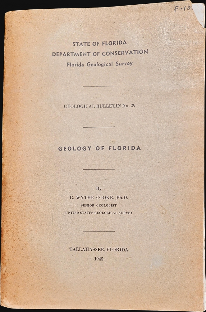
Cooke, C.W., Geological Bulletin No. 29 Geology of Florida, (Tallahassee, Florida: Florida Grower Press) 1945.
References
Tampa Bay History Center, Touchton Map Library L2018.087.022. OCLC 12569035.