This copy is copyright protected.
Copyright © 2024 Geographicus Rare Antique Maps
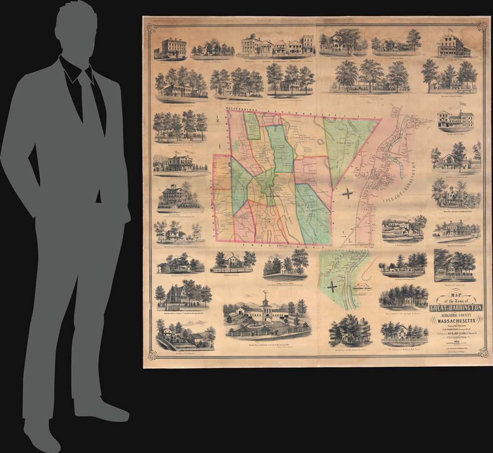
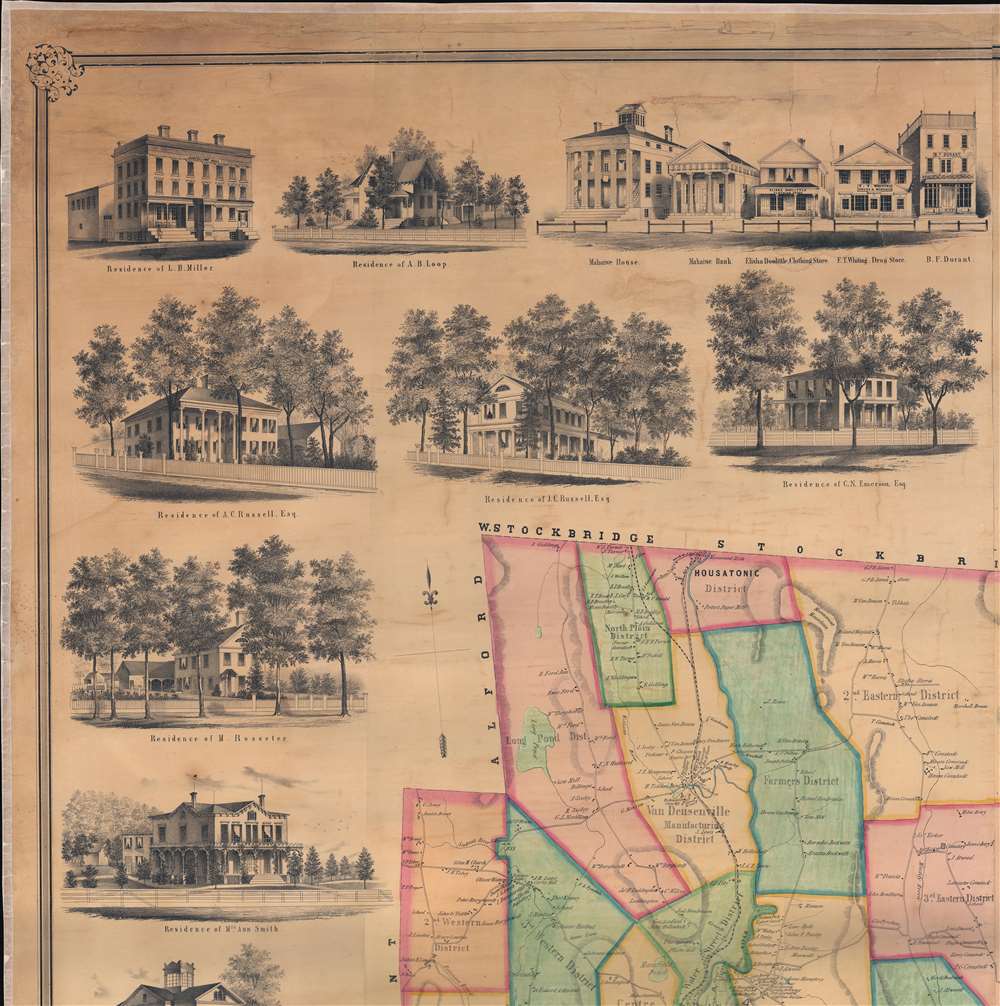
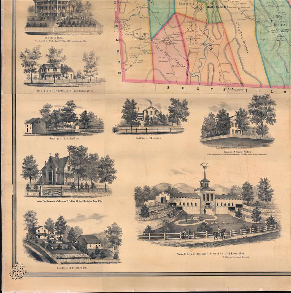
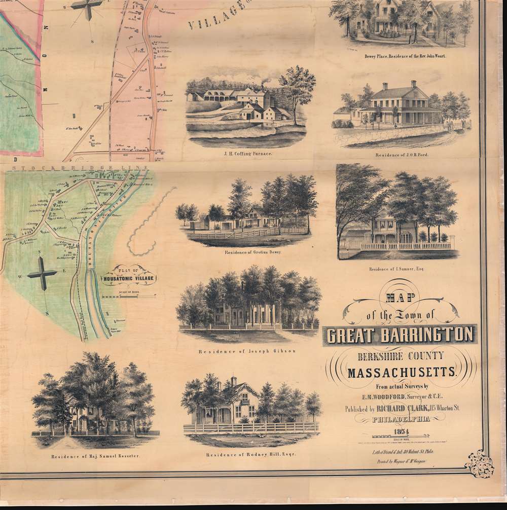
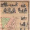
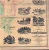
1854 Woodford and Clark City Map of Great Barrington, Berkshires, Massachusetts
GreatBarrington-woodfordclark-1854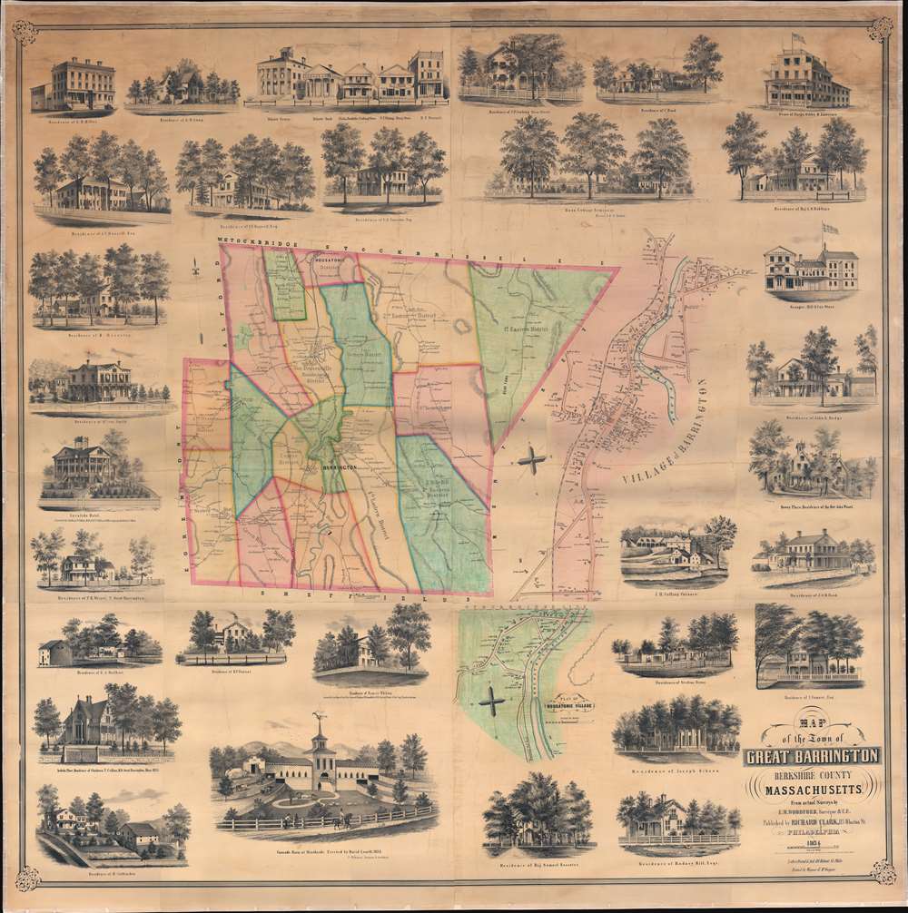


Edgar Maurice Woodford (April 15, 1824 – October 1, 1862) was a mid-19th century American abolitionist, civil engineer, surveyor, and map publisher active in New England. Woodford was born on his family farm in Avon, Connecticut. Although self-taught as a surveyor, he rose to become the official Hartford County surveyor. He was described by a nephew as 'a great strapping man,' who would come 'over the hills with his [surveying] instruments over his shoulder, crying for fear his work would not come out right.' Woodford produced numerous county surveys in Connecticut, Maine, and Massachusetts. Typically Woodford worked with other cartographers, but from time to time, he published independently, including his maps of Belfast and Frankfort, Maine, as well as Belknap, New Hampshire. As an abolitionist Woodford was part of the 1856 'Connecticut Colony in Kansas,' an attempt to colonize Kansas with enough abolitionist New Englanders to sway the vote and force Kansas to enter the Union as a Free State. When the Civil War broke out he enlisted in the Seventh Connecticut Volunteer Infantry, where he was assigned the rank of Quartermaster. It was during the war when he passed away in Hilton Head Island, South Carolina, of 'congestive fever,' an archaic term for malaria. He is interred in the soldiers cemetery at Hilton Head. More by this mapmaker...
Richard Clark (fl. c. 1850 - 1865) was an American cartographer active in the middle part of the 19th century. Though he seems to have been based in Philadelphia, most of Clark's work was compiled in conjunction with other publishers and focused on Connecticut and Massachusetts. Clark is associated with several maps, but his most important are a wall map of Fairfield County, Connecticut, and Connecticut itself. Little is known of Clark's life. Learn More...
Copyright © 2024 Geographicus Rare Antique Maps | Geographicus Rare Antique Maps
This copy is copyright protected.
Copyright © 2024 Geographicus Rare Antique Maps