Digital Image: 1862 Civil War 'Richmond Edition' of Johnson's New Illustrated Family Atlas
JohnsonAtlasRichmond-johnson-1862_d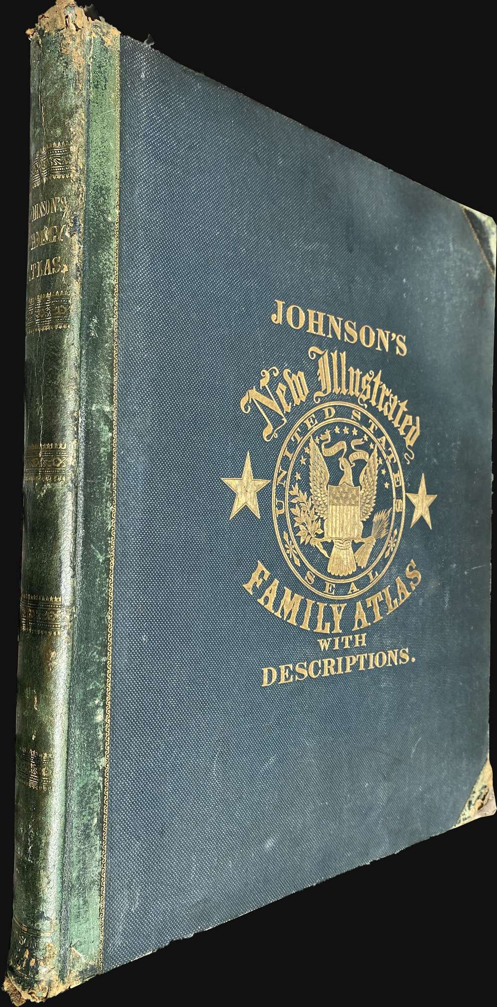

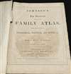

Title
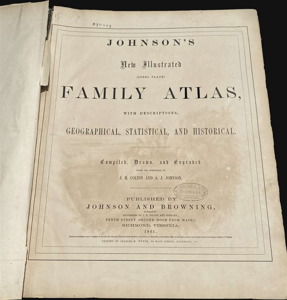
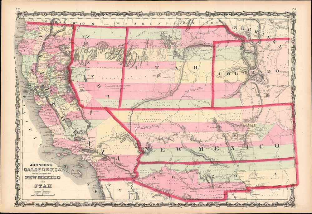
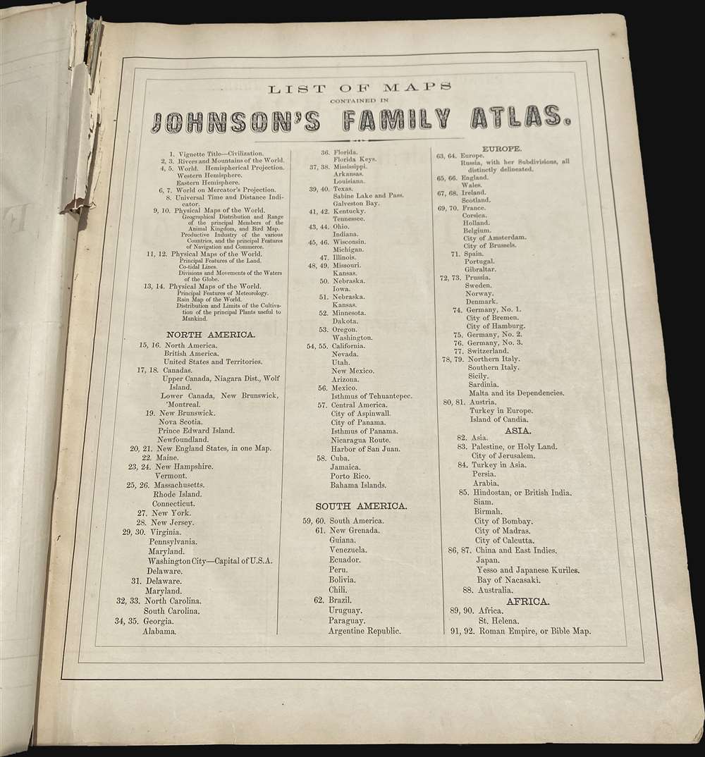
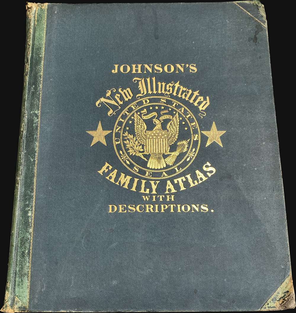
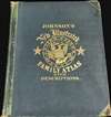
Johnson's New Illustrated (Steel Plate) Family Atlas.
1862 (dated) 19 x 15 in (48.26 x 38.1 cm)
1862 (dated) 19 x 15 in (48.26 x 38.1 cm)
Description
FOR THE ORIGINAL ANTIQUE MAP, WITH HISTORICAL ANALYSIS, CLICK HERE.
Digital Map Information
Geographicus maintains an archive of high-resolution rare map scans. We scan our maps at 300 DPI or higher, with newer images being 600 DPI, (either TIFF or JPEG, depending on when the scan was done) which is most cases in suitable for enlargement and printing.
Delivery
Once you purchase our digital scan service, you will receive a download link via email - usually within seconds. Digital orders are delivered as ZIP files, an industry standard file compression protocol that any computer should be able to unpack. Some of our files are very large, and can take some time to download. Most files are saved into your computer's 'Downloads' folder. All delivery is electronic. No physical product is shipped.
Credit and Scope of Use
You can use your digial image any way you want! Our digital images are unrestricted by copyright and can be used, modified, and published freely. The textual description that accompanies the original antique map is not included in the sale of digital images and remains protected by copyright. That said, we put significant care and effort into scanning and editing these maps, and we’d appreciate a credit when possible. Should you wish to credit us, please use the following credit line:
Courtesy of Geographicus Rare Antique Maps (https://www.geographicus.com).
How Large Can I Print?
In general, at 300 DPI, you should at least be able to double the size of the actual image, more so with our 600 DPI images. So, if the original was 10 x 12 inches, you can print at 20 x 24 inches, without quality loss. If your display requirements can accommodate some loss in image quality, you can make it even larger. That being said, no quality of scan will allow you to blow up at 10 x 12 inch map to wall size without significant quality loss. For more information, it is best consult a printer or reprographics specialist.
Refunds
If the high resolution image you ordered is unavailable, we will fully refund your purchase. Otherwise, digital images scans are a service, not a tangible product, and cannot be returned or refunded once the download link is used.
Cartographer S
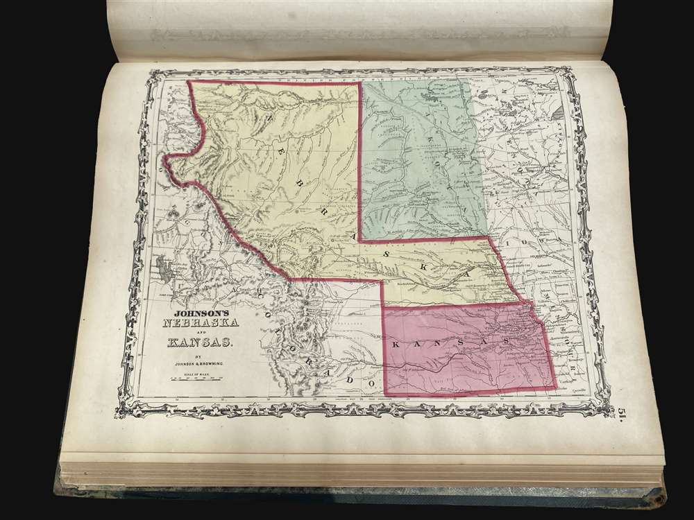
Alvin Jewett Johnson (September 23, 1827 - April 22, 1884) was a prolific American map publisher active from 1856 to the mid-1880s. Johnson was born into a poor family in Wallingford, Vermont, where he received only a basic public education. He is known to have worked as a school teacher for several years before moving to Richmond, Virginia. Johnson got his first taste of the map business as a salesman and book canvasser for J. H. Colton. The earliest Johnson maps were published with D. Griffing Johnson (no clear relation) and date to the mid-1850s; however, it was not until 1860 that the Johnson firm published its first significant work, the Johnson's New Illustrated (Steel Plate) Family Atlas. The publication of the Family Atlas followed a somewhat mysterious 1859 deal with the well-established but financially strapped J. H. Colton cartographic publishing firm. Although map historian Water Ristow speculates that Colton sold his copyrights to Johnson and his business partner, another Vermonter named Ross C. Browning (1822 - 1899), a more likely theory is that Johnson and Browning financially supported the Colton firm in exchange for the right to use Colton's existing copyrighted map plates. Regardless of which scenario actually occurred, it is indisputable that the first Johnson atlas maps were essentially reissues of earlier Colton maps. Early on, Johnson described his firm as the 'Successors to J. H. Colton and Company'. Johnson's business strategy involved transferring the original Colton steel plate engravings to cheaper lithographic stones, allowing his firm to produce more maps at a lower price point. In 1861, following the outbreak of the American Civil War (1861 - 1865) Johnson and Browning split their firm between two offices. Johnson moved from Richmond, Virginia, to New York City. Browning remained in Richmond, where he published at least one more edition of the atlas in 1862, at the height of the war. Johnson and Browning published two editions of the Johnson Atlas: 1860 (Richmond and New York) and 1861 (Richmond and New York). Sometime in 1861, Browning's portion of the firm (or perhaps the New York portion?) was purchased by Benjamin P. Ward, whose name subsequently replaced Browning's on the imprint. The 1863 issue of the Family Atlas was one of the most unusual, it being a compilation of older 'Johnson and Browning' maps, updated 1862 'Johnson and Ward' maps, and newer 1863 maps with a revised border design. The 1864 issue of the Family Atlas is the first fully 'Johnson and Ward' atlas. Johnson published one more edition of the atlas in partnership with Ward in 1865, after which Johnson bought out Ward. The next issue of the atlas, 1866, is the first purely 'Johnson' atlas with all new map plates, updated imprints, and copyrights. The Family Atlas went through roughly 27 years of publication, from 1860 to 1887, outliving Johnson himself, who died in 1884. Johnson maps from the Family Atlas are notable for their unique borders, of which there are four different designs, the 'strapwork border' from 1860 to 1863, the 'fretwork border' from 1863 to 1869, the 'spirograph border' in 1870 to 1882, and a more elaborate version of the same from 1880 to 1887. In addition to the Family Atlas, Johnson issued numerous wall maps, pocket maps, and in the 1880s, the Cyclopedia. Johnson maps are known for their size, accuracy, detail, and stunning, vivid hand coloring. Johnson's maps, purely American in their style and execution, chronicle some of the most important periods in American history, including the Civil War, the Westward Expansion, and the Indian Wars. Today Johnson's maps, especially those of the American West, are highly sought after by map collectors and historians. More by this mapmaker...
Ross Charles Browning (September 8, 1822 - March 26, 1899) was an American publisher and editor. Browning was born in Barre, Vermont in 1822. He studied at the Liberal Institute of Lebanon, New Hampshire. Afterward graduating he move to Sussex County, New Jersey, where he taught school. Seeking a better future in the bustling railroad industry, he took a position with the Erie Railroad at Piermont-on-the-Hudson. Relocating to Richmond, Virginia, he entered the publishing business in 1859, when he partnered with Alvin Jewett Johnson (1827 - 1884) to introduce Johnson's New Illustrated (Steel Plate) Family Atlas under the imprint of 'Johnson and Browning'. Perhaps seeing war on the horizon, Johnson and Browning spit their firm, with Johnson moving to New York and Browning running the southern arm of the firm out of Richmond. Richmond editions of the atlas are extremely rare, and contain several different maps from the New York editions. We are aware of Richmond editions in 1860 and 1861. At this time, Browning, being an ardent Union man, snuck through the lines to settle in New York. Back in Richmond, Johnson and Browning's printer Charles H. Wynne (1822 - 1870) transitioned his presses for the Confederacy, printing currency and war bonds. It is unclear how Johnson and Browning divided the firm when Johnson moved to New York, be subsequent editions of the atlas appear under 'Johnson and Ward', suggesting a sale of shares. What is known is that he left the publishing business altogether in 1863 during the New York Draft Riots (Jul 11, 1863 – Jul 16, 1863) to volunteer as a vigilante, a profession he continued throughout the war. After the war, Browning settled in Llewellyn Park, New Jersey, where he started a new business manufacturing and selling clothes wringers. He remained in this business until selling out to a conglomerate in 1892. He died in Jacksonville, Florida from pneumonia. Learn More...
Charles H. Wynne (1822 - March 19, 1870) was an American publisher and newspaperman based in Richmond, Virginia, active during the middle part of the 19th century. Wynne established a printing house in Richmond, Virginia, at the corner of Main and 14th sometime in the 1850s. Wynne was the Richmond printer of the Johnson and Browning Johnson's New Illustrated (Steel Plate) Family Atlas from 1860 to 1862. On April 21, 1861, Browning fled the Confederacy for New York, and Wynne enlisted in the Confederate 1st Regiment, Virginia Artillery to fight the American Civil War (1861 - 1865). The Confederacy must have decided he was more valuable as printer than as a solider, and so he contributed to the war effort by printing war bonds and currency. At the end of the Civil War he founded the The Richmond Times, which began publishing with its first issue on Friday, April 21, 1865. In September of 1865, he was attacked by a disgruntled employee, John M. Reyner, and severely beaten with a strip of cow hide. Two years later, in 1867, Wynne and The Richmond Times fell into insolvency and his presses were liquidated at auction in 1868. After the bankruptcy he continued to publish, issuing Wynne's Virginia and North Carolina Almanac - 1869. As his financial fortunes declined, so did his heath. Wynne died of a heart attack in April of 1870. Learn More...