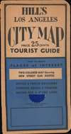
1937 Hill City Plan or Map of Los Angeles, California
LosAngeles-hill-1937$350.00


Title
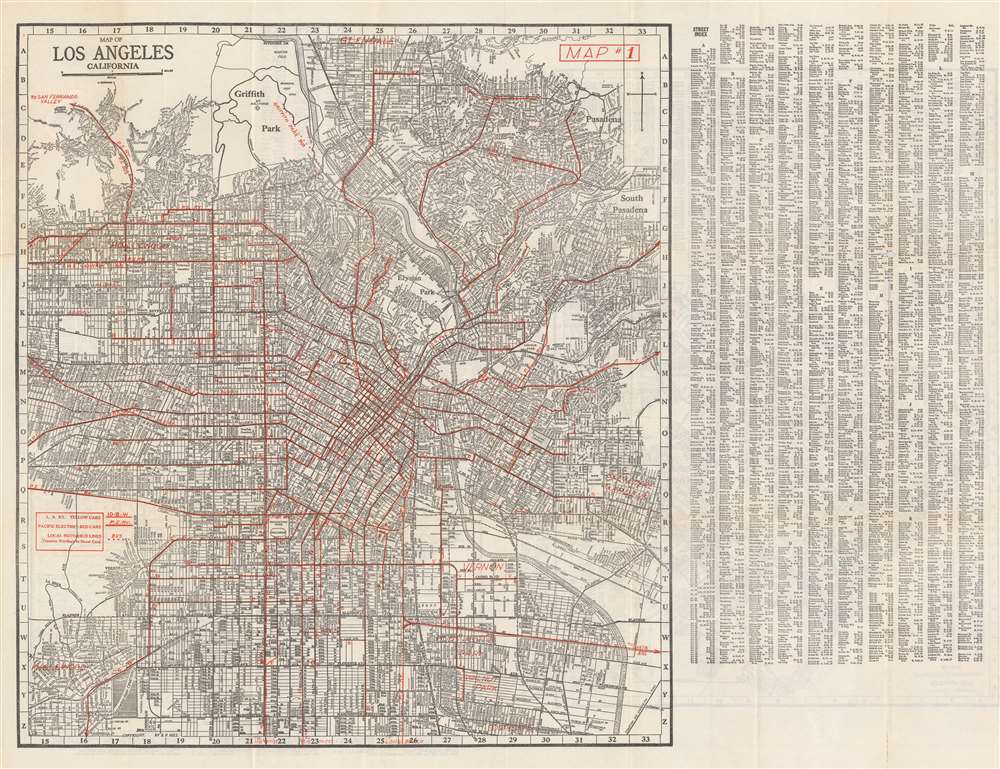
Map of Los Angeles California.
1937 (dated) 20 x 27 in (50.8 x 68.58 cm) 1 : 46080
1937 (dated) 20 x 27 in (50.8 x 68.58 cm) 1 : 46080
Description
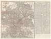
This is a c. 1937 Ernest F. Hill city plan or map of Los Angeles, California, published during the Great Depression. Mass transit takes center stage, with red overprinting highlighting railway and bus routes, including those of the Pacific Electric Railway. A key situated on the left side informs the viewer that the L. A. Railway uses yellow cars and the Pacific Electric Railway ran red cars. Red overprinting labels suburbs as well, including Glendale, Belvedere Gardens, Vernon, Huntington Park, Inglewood, and Hollywood. Innumerable streets are correlated to an index printed at right. A map of the western portion of Los Angeles (complete with a street index) and a map of Long Beach appear on on the verso.
The Pacific Electric Railway Company
The Pacific Electric Railway Company (1901 - 1965) was a privately owned mass transit system operating in southern California. Nicknamed 'Red Cars', Pacific Electric was the largest electric railway in the 1920s and served Los Angeles, Orange, San Bernardino, and Riverside Counties. Even so, the railway was never exceptionally profitable. Underutilized routes were replaced by buses as early as 1925.Publication History
This map was created and published by Ernest F. Hill and the Hill Map Company c. 1937. Editions of Hill's map of Los Angeles began appearing in the 1920s and were published through at least the early 1940s.Cartographer
Ernest F. Hill (fl. c. 1923 - c. 1942) was a map publisher based in Los Angeles. Hill owned and operated the Hill Map Company in Los Angeles. More by this mapmaker...
Condition
Good. Exhibits wear along original fold lines. Exhibits areas of loss in index above and to the right of the letter 'H'. Map of western Los Angeles and a road map of Long Beach printed on verso.