This item has been sold, but you can get on the Waitlist to be notified if another example becomes available.
1962 AMS Map of the Moon Anticipating all 6 Apollo Landing Sites
MareNectarisMareImbrium-ams-1962$1,000.00


Title
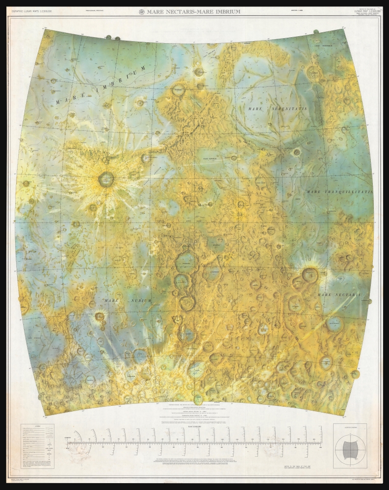
Mare Nectaris - Mare Imbrium.
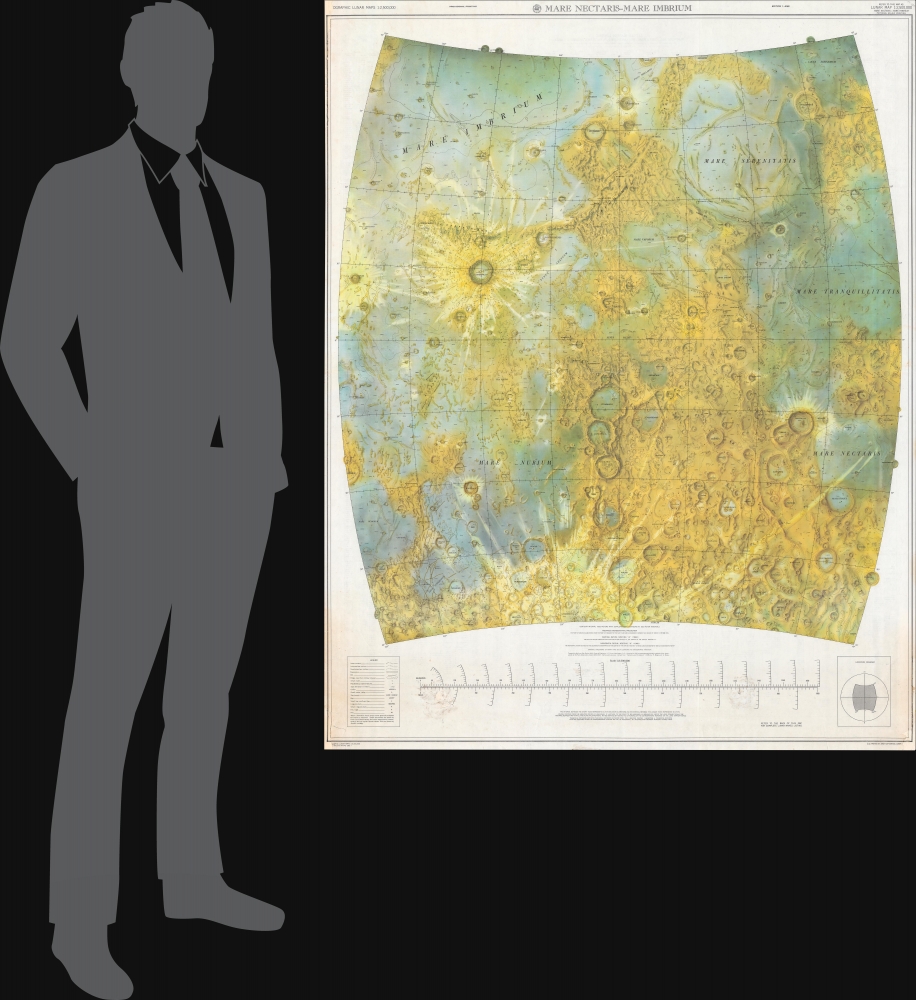
1962 (dated) 51.5 x 40.5 in (130.81 x 102.87 cm) 1 : 2500000
1962 (dated) 51.5 x 40.5 in (130.81 x 102.87 cm) 1 : 2500000
Description
A seminal cartographic achievement, this is the first Earthside Stereographic map of the Moon produced by the Army Map Service in anticipation of the lunar landing missions of the late 1960s. The map was produced by the Army Map Service, Corps of Engineers, in March 1962 and incorporates the 6 landing sites of the forthcoming Apollo Missions.
A Closer Look
Coverage embraces the Mare Nectaris and Mare Imbrium region, between 40° North and South Latitudes, 320° to 0°, and 0° to 40° degrees longitude. It details prominent craters, elevations, highlands, and seas. There are contour intervals every 1,000 meters with supplementary contours at 500-meter intervals. Strikingly shaded in vivid tones to highlight topography.Stereographic Lunar Mapping
This is the first earthside Stereographic map of any part of the Moon, predating the availability of spaceside lunar photography. The technique leveraged eight photograph pairs taken in different seasons over several years; thus, the images could be compared and compiled to determine relative topography. As explained,Eight pairs of photographs taken at Paris Observatory between March 1896 and January 1907 were used as compilation sources. The photographs of each pair were taken near the extreme longitude librations of +/- 7° 54'. The pairs of photos were thus stereo pairs with an effective baseline of about 65,000 miles. The scale of the source photography is about 1:22,088,000. (Schimerman, L. A., Lunary Cartographic Dossier, Volume 1.
Apollo Program
The Apollo Program, also known as Project Apollo, was the third human spaceflight program carried out by NASA. It succeeded in preparing and landing the first humans on the Moon between 1968 and 1972. It was first conceived in 1960 during President Dwight D. Eisenhower's term to follow the one-person Project Mercury, which put the first Americans in space. Apollo was subsequently taken up by President John F. Kennedy, who, in a 1961 address to Congress, established a national goal for the 1960s of 'landing a man on the Moon and returning him safely to the Earth'. Six Apollo missions landed humans on the Moon, beginning with Apollo 11 in July 1969.Publication History and Census
This map was prepared in 1961 by the Army Maps Service, Corps of Engineers in Washington, D.C. It was published in March 1962. Scarce. We see references to the map, and others like it in scholarly research from the period but are aware of no other examples in institutional collections. No market history for this specific map, but we note a similar map at Bonhams sold in 2013 with an estimate of 2,000 - 3,000 USD.Cartographer
The Army Map Service (AMS) (1941 - 1968) was the military cartographic agency of the U.S. Department of Defense and part of the U.S. Army Corps of Engineers. The AMS compiled, published, and distributed military topographical maps and other related materials for use by the U.S. Armed Forces. They also prepared maps for space exploration, intelligence reports, and the establishment of world geodetic control networks. Formed during World War II, by the end of the war the Army Map Service had prepared 40,000 maps. 3,000 different maps were created for the Normandy invasion alone. The AMS was instrumental in the Korean War and the Vietnam War, and during all three of these conflicts distributed tens of millions of maps to U.S. servicemen. On September 1, 1968, the AMS was resdesignated the U.S. Army Topographic Command, and continued under this name as an independent organization until January 1, 1972 when it was merged with the new Defense Mapping Agency and renamed the DMA Topographic Center. The Defense Mapping Agency was added to the National Imagery and Mapping Agency on October 1, 1996, which was redesigned the National Geospatial-Intelligence Agency in 2003. More by this mapmaker...
Condition
Good. Edge repairs. Some soiling at bottom.
References
Schimerman, L. A., Lunary Cartographic Dossier, Volume 1.