Digital Image: 1920 Bekins Map of Oakland, Berkeley, Alameda, and Environs, California
OaklandEastBay-bekins-1920_d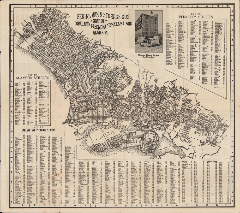

Title
Bekins Van and Storage Co.'s Map of Oakland, Piedmont, Berkley and Alameda.
1920 (undated) 15.25 x 17 in (38.735 x 43.18 cm) 1 : 54000
1920 (undated) 15.25 x 17 in (38.735 x 43.18 cm) 1 : 54000
Description
FOR THE ORIGINAL ANTIQUE MAP, WITH HISTORICAL ANALYSIS, CLICK HERE.
Digital Map Information
Geographicus maintains an archive of high-resolution rare map scans. We scan our maps at 300 DPI or higher, with newer images being 600 DPI, (either TIFF or JPEG, depending on when the scan was done) which is most cases in suitable for enlargement and printing.
Delivery
Once you purchase our digital scan service, you will receive a download link via email - usually within seconds. Digital orders are delivered as ZIP files, an industry standard file compression protocol that any computer should be able to unpack. Some of our files are very large, and can take some time to download. Most files are saved into your computer's 'Downloads' folder. All delivery is electronic. No physical product is shipped.
Credit and Scope of Use
You can use your digial image any way you want! Our digital images are unrestricted by copyright and can be used, modified, and published freely. The textual description that accompanies the original antique map is not included in the sale of digital images and remains protected by copyright. That said, we put significant care and effort into scanning and editing these maps, and we’d appreciate a credit when possible. Should you wish to credit us, please use the following credit line:
Courtesy of Geographicus Rare Antique Maps (https://www.geographicus.com).
How Large Can I Print?
In general, at 300 DPI, you should at least be able to double the size of the actual image, more so with our 600 DPI images. So, if the original was 10 x 12 inches, you can print at 20 x 24 inches, without quality loss. If your display requirements can accommodate some loss in image quality, you can make it even larger. That being said, no quality of scan will allow you to blow up at 10 x 12 inch map to wall size without significant quality loss. For more information, it is best consult a printer or reprographics specialist.
Refunds
If the high resolution image you ordered is unavailable, we will fully refund your purchase. Otherwise, digital images scans are a service, not a tangible product, and cannot be returned or refunded once the download link is used.
Cartographer
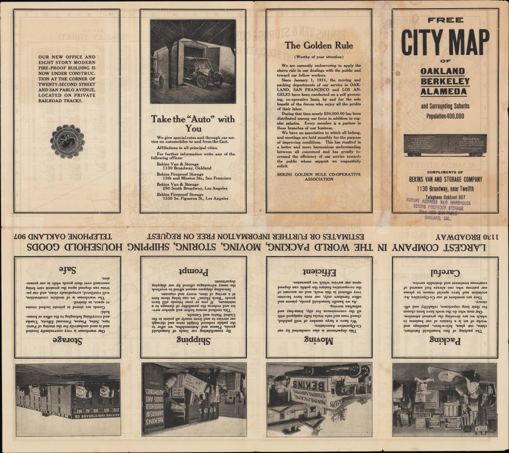
Bekins Van Lines (1891 - present) is one of the oldest moving companies in the United States, known primarily for residential moves. The company was founded by brothers John and Martin Bekins in 1891 in Sioux City, Iowa, using horse-drawn vans. The company was quick to embrace automobiles, switching from horse-drawn vans to motor trucks in 1903. It also expanded rapidly into California and other West Coast states, beginning operations in Los Angeles in 1894, anticipating the future population increase there (Martin Bekins eventually moved to the Eagle Rock neighborhood of Los Angeles and built an impressive mansion there). Bekins was also known for decades for producing plans or maps of cities where it operated. Sometimes, these were done in conjunction with regional mapmakers, such as Thomas Bros. or the Kroll Map Co., but more often, they were produced and published by Bekins itself. Though typically undated, the company's earliest maps (of San Francisco and Los Angeles) appeared in the first decade of the 20th century, and maps of many cities in the Plains States and American West continued to be produced until the 1970s. More by this mapmaker...
References
OCLC 23826207, 63614544.