This copy is copyright protected.
Copyright © 2024 Geographicus Rare Antique Maps
1920 Art Nouveau Monument Map of Paris, France
ParisMonumental-dutal-1920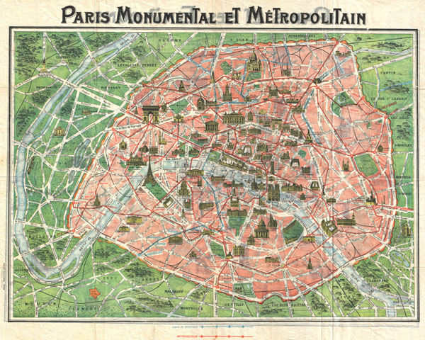

Copyright © 2024 Geographicus Rare Antique Maps | Geographicus Rare Antique Maps
This copy is copyright protected.
Copyright © 2024 Geographicus Rare Antique Maps