This item has been sold, but you can get on the Waitlist to be notified if another example becomes available, or purchase a digital scan.
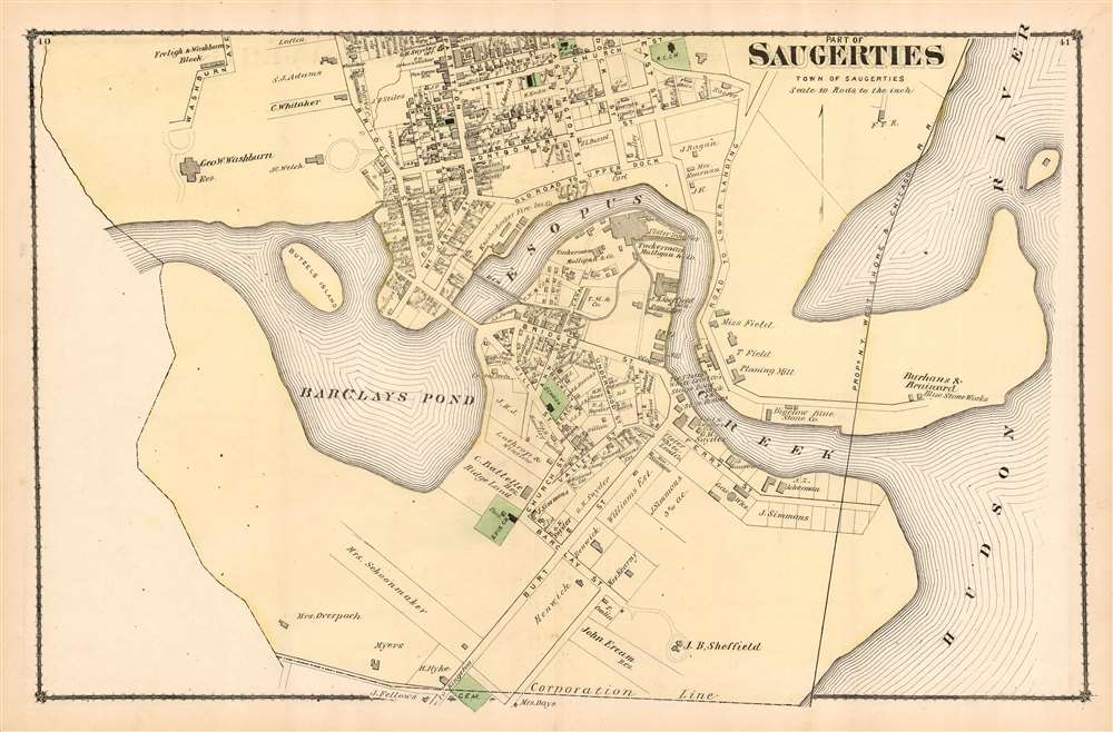
1875 Beers Map or Plan of Saugerties
Saugerties-beers-1875
Title
1875 (undated) 16 x 25 in (40.64 x 63.5 cm) 1 : 3960
Description
Publication History and Census
This plan was included in Beers' 1875 County atlas of Ulster, New York : from recent and actual surveys and records . The atlas is well represented in institutional collections, but this plan is not cataloged separately in OCLC.Cartographer
Frederick William Beers (August 17, 1839 - September 8, 1933) was an American map publisher, cartographer, and surveyor. Beers was born in Maryland, the son of map publisher James Botsford Beers (October 16, 1811 - June 3, 1901), but lived much of his life in New York where he was the chief of the map division and Commissioner of Public Records in Brooklyn. He joined the family business in 1870 and along with his father, published the Farm Line Atlas of the County of Kings and the Atlas of Long Island. He is credited with personally mapping every county in New York State. Frederick worked with his family into the mapmaking trade, including his brother, Charles Henry Beers (November 3, 1813 - March 5, 1892), and nephews Silas Norman Beers (September 3, 1837 - May 12, 1873) and Daniel Glover Beers (October 19, 1841 - February 12, 1913). He retired from the publishing business in 1930, when he was more than 90 years old. He died on September 8, 1933 in Bridgeport, Connecticut. More by this mapmaker...

