Digital Image: 1941 Miyahara Natural Resource Map of Thailand during World War II
ThaiNaturalResources-miyahara-1941-2_d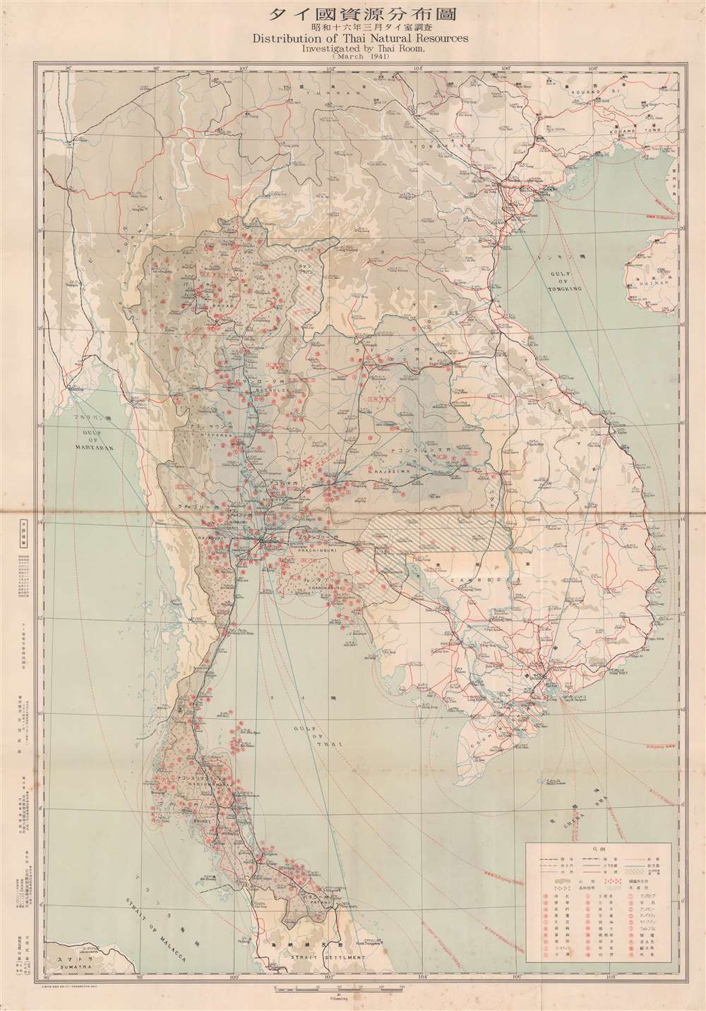
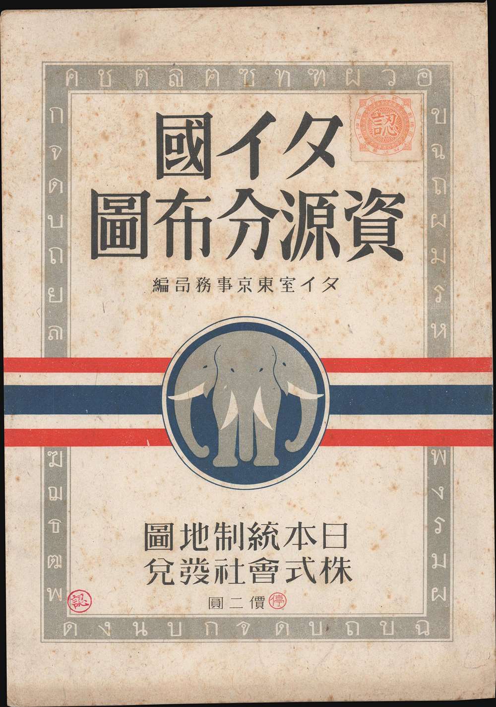
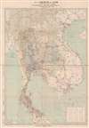

Title
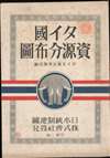
Distribution of Thai Natural Resources. / 圖布分源資國ㄔ夕
1941 (dated) 42.5 x 29.5 in (107.95 x 74.93 cm) 1 : 2150000
1941 (dated) 42.5 x 29.5 in (107.95 x 74.93 cm) 1 : 2150000
Description
FOR THE ORIGINAL ANTIQUE MAP, WITH HISTORICAL ANALYSIS, CLICK HERE.
Digital Map Information
Geographicus maintains an archive of high-resolution rare map scans. We scan our maps at 300 DPI or higher, with newer images being 600 DPI, (either TIFF or JPEG, depending on when the scan was done) which is most cases in suitable for enlargement and printing.
Delivery
Once you purchase our digital scan service, you will receive a download link via email - usually within seconds. Digital orders are delivered as ZIP files, an industry standard file compression protocol that any computer should be able to unpack. Some of our files are very large, and can take some time to download. Most files are saved into your computer's 'Downloads' folder. All delivery is electronic. No physical product is shipped.
Credit and Scope of Use
You can use your digial image any way you want! Our digital images are unrestricted by copyright and can be used, modified, and published freely. The textual description that accompanies the original antique map is not included in the sale of digital images and remains protected by copyright. That said, we put significant care and effort into scanning and editing these maps, and we’d appreciate a credit when possible. Should you wish to credit us, please use the following credit line:
Courtesy of Geographicus Rare Antique Maps (https://www.geographicus.com).
How Large Can I Print?
In general, at 300 DPI, you should at least be able to double the size of the actual image, more so with our 600 DPI images. So, if the original was 10 x 12 inches, you can print at 20 x 24 inches, without quality loss. If your display requirements can accommodate some loss in image quality, you can make it even larger. That being said, no quality of scan will allow you to blow up at 10 x 12 inch map to wall size without significant quality loss. For more information, it is best consult a printer or reprographics specialist.
Refunds
If the high resolution image you ordered is unavailable, we will fully refund your purchase. Otherwise, digital images scans are a service, not a tangible product, and cannot be returned or refunded once the download link is used.
Cartographer S
Miyahara Takeo (宮原武雄; fl. c. 1938 - 1956) was a Tokyo-based author, cartographer, and publisher who was an expert on Thailand at the height of Japanese imperialism in the 1930s and 1940s. He was deeply involved with the Thai Room Tokyo Secretariat (タイ室東京事務局) an organization that produced reference publications on Thailand's economy, society, and politics, at least some of which were specifically for the Japanese government's use. More by this mapmaker...
Nihon Tōsei Chizu Kabushiki Kaisha (日本統制地圖株式會社; fl. c. 1931 - 1944) was a Tokyo-based publisher of maps of the Japanese home islands and empire. Learn More...
References
OCLC 64055634.