Digital Image: 1691 Jean Malet / Ottens Map of the Waldensian 'Glorieuse Rentrée', Piedmont, Italy
WaldensenReturn-ottens-1691_d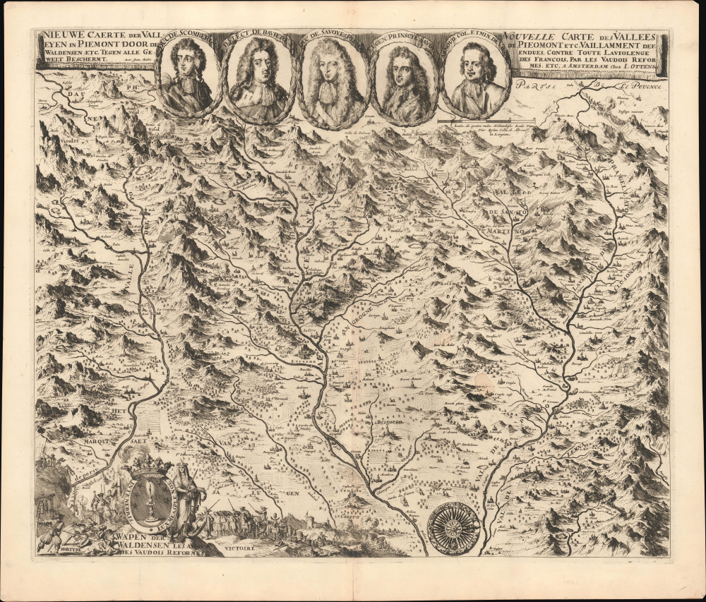

Title
Nieuwe Caerte der Valleyenin Piemont Door de Waldensen etc. Tegen alle Gewelt Beschernt. / Nouvelle Carte Des Vallees De Pieomont Etc, Vaillamment Defendues, Contre Toute Laviolenge Des Francois, Par Les Vaudois Reformes, Etc.
1691 (undated) 21 x 24 in (53.34 x 60.96 cm) 1 : 80000
1691 (undated) 21 x 24 in (53.34 x 60.96 cm) 1 : 80000
Description
FOR THE ORIGINAL ANTIQUE MAP, WITH HISTORICAL ANALYSIS, CLICK HERE.
Digital Map Information
Geographicus maintains an archive of high-resolution rare map scans. We scan our maps at 300 DPI or higher, with newer images being 600 DPI, (either TIFF or JPEG, depending on when the scan was done) which is most cases in suitable for enlargement and printing.
Delivery
Once you purchase our digital scan service, you will receive a download link via email - usually within seconds. Digital orders are delivered as ZIP files, an industry standard file compression protocol that any computer should be able to unpack. Some of our files are very large, and can take some time to download. Most files are saved into your computer's 'Downloads' folder. All delivery is electronic. No physical product is shipped.
Credit and Scope of Use
You can use your digial image any way you want! Our digital images are unrestricted by copyright and can be used, modified, and published freely. The textual description that accompanies the original antique map is not included in the sale of digital images and remains protected by copyright. That said, we put significant care and effort into scanning and editing these maps, and we’d appreciate a credit when possible. Should you wish to credit us, please use the following credit line:
Courtesy of Geographicus Rare Antique Maps (https://www.geographicus.com).
How Large Can I Print?
In general, at 300 DPI, you should at least be able to double the size of the actual image, more so with our 600 DPI images. So, if the original was 10 x 12 inches, you can print at 20 x 24 inches, without quality loss. If your display requirements can accommodate some loss in image quality, you can make it even larger. That being said, no quality of scan will allow you to blow up at 10 x 12 inch map to wall size without significant quality loss. For more information, it is best consult a printer or reprographics specialist.
Refunds
If the high resolution image you ordered is unavailable, we will fully refund your purchase. Otherwise, digital images scans are a service, not a tangible product, and cannot be returned or refunded once the download link is used.
Cartographer
Ottens (fl. c. 1680 - 1785) was a prominent Amsterdam map publishing family active for nearly 100 years. Joachim Ottens (1663 - 1719) was born in Amsterdam to a family of seafarers and educated in Amsterdam's Evangelical Lutheran community. He likely learned copperplate engraving under Frederick de Wit (1629 - 1706), for whom he worked until about 1710. In 1710, he was admitted to the Sint-Lucasgilde (Guild of St. Luke) and, in 1711, Joachim founded his own firm. Although Joachim died only a few years later, in 1719, his widow continued the business, either publishing as either 'I. Ottens', 'Ottens', or 'In de Wereldcaert' [In the World Map]. In 1726, Joachim Otten's sons, Renier (1698 - 1750) and Joshua (1698 - 1750), established a partnership and generally published as 'R. and I. Ottens'. Although they ran separate shops, on Nieuwendijk and Kalverstraat, they worked jointly as a singular business until Renier's death in 1750, at which point Joshua assumed full control. After Joshua's death in 1765, his widow continued the firm with their son, Renier II, changing the imprint to 'Joshua and Reinier Ottens.' Joshua's widow, Johanna de Lindt, held an auction sale of their engraved plates in 1784. Ottens' work stands out in that all of their maps were separate issues, though often found compiled into special, made-to-order multi-volume composite Atlas factice works, such as the Atlas. Some examples of the Atlas include over 800 separately issued maps. Because they were not uniformly issued in standard atlases, Ottens maps are often of the utmost rarity and are notable for their exceptionally rich engraving. More by this mapmaker...