1589/ 1597 Bünting Map of Africa
Africa-bunting-1589$2,000.00

Title
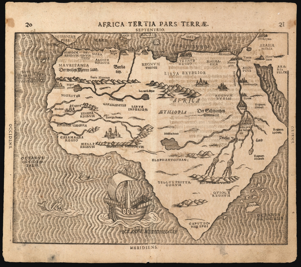
Africa Tertia Pars Terrae.
1589 (undated) 11 x 13.75 in (27.94 x 34.925 cm)
1589 (undated) 11 x 13.75 in (27.94 x 34.925 cm)
Description
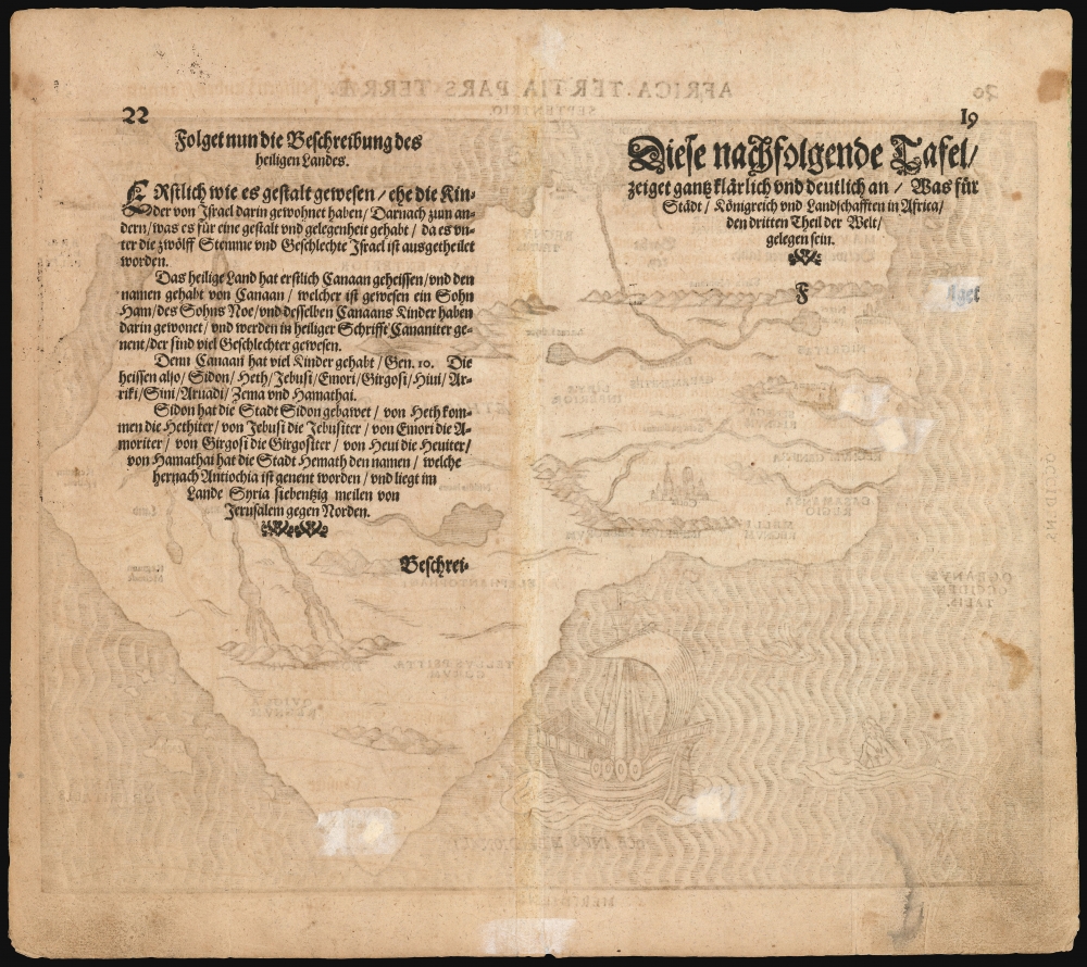
This is Heinrich Bünting's 1589 map of the continent of Africa. This striking woodcut appeared in Bünting's Itinerarium Sacrae, the first and for many years the only complete work of biblical geography.
A Closer Look
While Bünting did not wrap his map of Africa in allegory, as he did with his Asia, Europe, and World maps, this is nevertheless a unique representation of the continent, tapering to a narrow point in the south. The pattern of rivers and major place names are modeled on those on the 1540 Africa map of Sebastian Münster, but these were necessarily distorted to fit the unusual outline of the continent as presented here. The ocean is engraved with distinctive wavy lines, and is decorated with a sailing ship, a merman, and what appears to be a swan. Cities marked on the map include Alexandria, Memphis, Cairo - and the Kingdom of the legendary Prester John.Publication History and Census
This map is frequently found dated 1581, corresponding to the first Helmstadt edition of Bünting's Itinerarium. Scrutiny of editions of the work in institutional collections indicates that neither this map, nor the accompanying map of Asia, were introduced until either the 1587 or 1589 Magdeburg edition of the book. Separate examples of the map speculatively dated earlier often exhibit typographical features that correspond with examples printed sometimes well into the 17th century. The incorrect dating of these appears to be influenced by the cataloguing of Bünting's famous cloverleaf world map, which was included in the 1581 and 1582 Helmstadt editions. This example conforms to the 1597 state of the map noted in Betz. We see fourteen examples of the separate map in OCLC, in various states. The Itinerarium Sacrae Scripturae appears in many editions in institutional collections.Cartographer
Heinrich Bünting (1545 – 1606) was a Protestant pastor and theologian. He was born in Hanover, and studied theologian Witemberg. He is best known for his book of woodcut maps titled Itinerarium Sacrae Scripturae (Travel book through Holy Scripture) first published in 1581. It was the first complete summary of biblical geography available. More by this mapmaker...
Source
Bünting, Heinrich, Itinerarium Sacrae Scripturae, (Magdeburg) 1597.
Condition
Very good. Evenly toned, with some text showthrough. Some marginal soiling. Five small filled wormholes with no loss.
References
OCLC 881458374. Rumsey 15301.007 (1589) Betz, R. The Mapping of Africa, 24.2; Norwich, O. Maps of Africa 17; Tooley, R. V. Guide to Maps of Africa no. 141, p. 34.