This item has been sold, but you can get on the Waitlist to be notified if another example becomes available.
1958 General Drafting Map of the United States, its Products, and Trucks
AmericasTrucks-generaldrafting-1958$187.50


Title
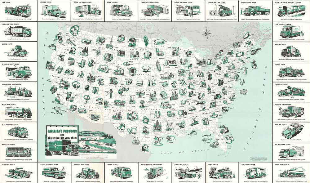
America's Products and the Trucks that Carry Them.
1958 (dated) 21.75 x 37 in (55.245 x 93.98 cm) 1 : 7300000
1958 (dated) 21.75 x 37 in (55.245 x 93.98 cm) 1 : 7300000
Description
This is a 1958 General Drafting Company pictorial map of the United States, its industry, and the transportation network used to move its products . Pictorial vignettes highlight American production, from agricultural goods to aircraft parts and automobiles. Corn, potatoes, walnuts, citrus fruit, and flour appear among the nation's agricultural products. Coal, lead, uranium ore, copper, aluminum, and phosphates are only a few of the minerals excavated across the country. Farm machinery, shoes, synthetic rubber, textiles, and paper represent handful of the products manufactured. America's highway network, illustrated below the green vignettes in shades of gray, severs as arteries of trade and commercial production. The trucks that create the map's border carry it all. Many of which were designed with specific purposes in mind: Logging trucks, beverage panel trucks, telephone line trucks, bulk milk trucks, ice cream trucks, and vehicle carriers, etc.
Publication History and Census
This map was created by the General Drafting Company in 1958 and published by the Automobile Manufacturers Association for schools. Three examples are cataloged in OCLC and are part of the institutional collections at the Library of Congress, Pennsylvania State University, and Michigan State University. A fourth example is part of Persuasive Maps: the P.J. Mode Collection at Cornell University.Cartographer
General Drafting Corporation (1909 - 1992) was one of the 'Big Three' publishers of road maps between 1930 and 1970, along with H. M. Gousha and Rand McNally. Founded in 1909, Otto G. Lindberg, an immigrant from Finland and the company's founder, began his business with a borrowed drafting board and a $500 loan from his father. At the time only twenty-three years old, Lindberg advertised his business as 'any and all general drafting' and was based out of 170 Broadway in New York City. Only two years later, in 1911, the firm secured its first contract from the American Automobile Association to make 'road maps'. Lindberg incorporated his business in 1914 and became its first Chairman of the Board, a position he held until his death in 1968. Lindberg persuaded Standard Oil of New Jersey to let him draw the 'best' road map of the state that they had ever seen, and Standard Oil would distribute it for free. Sufficiently impressed with the finished product, Standard contracted General Drafting to make all their road maps - a relationship that lasted another six decades. This relationship allowed General Drafting to work exclusively for Standard Oil, but when oil companies stopped providing free maps, General Drafting was in a bind. The company tried to expand into the retail map market, and it of course continued creating maps for Exxon (the new name for Standard Oil) to sell, but its returns continued to decline. The firm was purchased in 1992 by Langenscheidt and subsequently absorbed into the American Map Company. General Drafting's state maps became this company's 'Travelvision' lineup. More by this mapmaker...
Condition
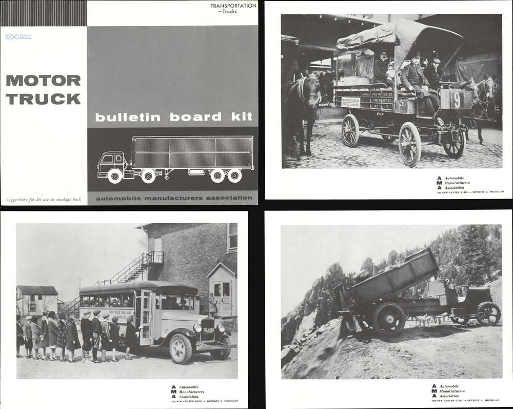
Very good. Exhibits light wear and toning along original fold lines. Verso repairs to fold separations and at fold intersections. Blank on verso. Accompanied by the Motor Truck Bulletin Board Kit.
References
Cornell University, Persuasive Maps: PJ Mode Collection, 2036.01. OCLC 558380098.