1989 Chris King Pictorial Map of Aspen, Colorado
AspenPictureMap-king-1989$375.00


Title
Picture Map of Aspen.
1989 (dated) 17.75 x 35.25 in (45.085 x 89.535 cm)
1989 (dated) 17.75 x 35.25 in (45.085 x 89.535 cm)
Description
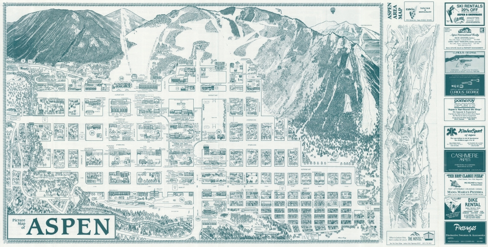
This is a 1989 Chris King's Picture Map of Aspen, Colorado. King's Map, published in numerous editions over many years, chronicles Aspen's business and social life, with each edition offering a novel record of Aspen's development.
A Closer Look
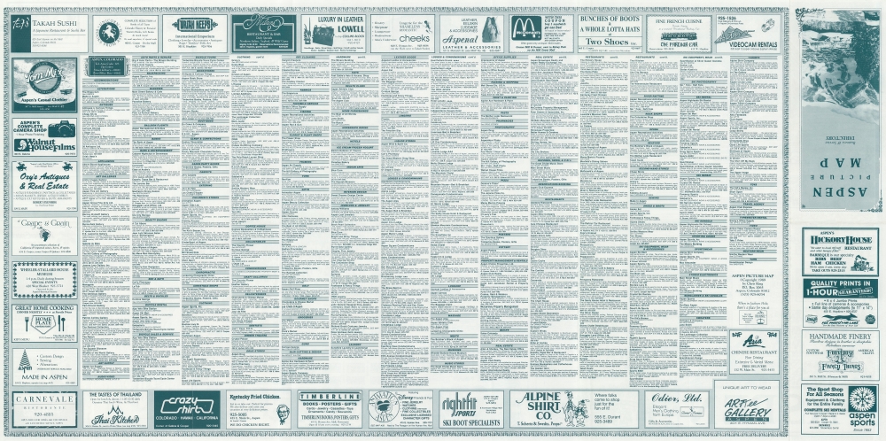
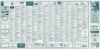
The town of Aspen dominates the sheet, with Aspen's famous mountains and ski runs in the background. Buildings are carefully rendered, and many are recognizable: some are identified by name, and 67 others are labeled numerically with an index on the verso. To the right of the central image, a secondary map covers from Aspen Mountain to Snowmass Village.Publication History and Census
This map was created and published by Chris King in 1989. King published editions from 1982 through at least 2007. We note three examples of the 1989 edition in OCLC: Denver Public Library, Fort Lewis College, and the University of Arizona.Cartographer
Chris King (fl. 1980 - present) began publishing the Jackson Hole Picture Map in 1980 from his commercial art studio in Aspen, Colorado. He bought the Aspen Picture Map in 1982 (the map was first issued in 1974) and completely overhauled the publication. The maps are updated annually and are published by King Picture Maps, Inc. More by this mapmaker...
Condition
Very good. Light wear along original fold lines. Business index on verso.
References
OCLC 22152740.