This item has been sold, but you can get on the Waitlist to be notified if another example becomes available.
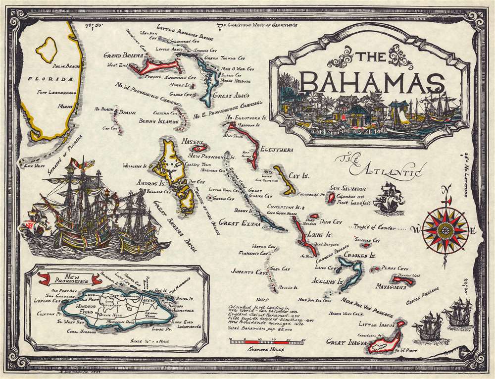
1967 Island Workshop Pictorial Map of the Bahamas
Bahamas-islandworkshop-1967$75.00

Title
The Bahamas.
1967 (dated) 16.6 x 21.252 in (42.164 x 53.98008 cm) 1 : 800000
1967 (dated) 16.6 x 21.252 in (42.164 x 53.98008 cm) 1 : 800000
Description
A charming 1967 pictorial map of the Bahamas issued by Island Workshop. The map covers the Bahamas from south Florida to the Iguana Islands. An inset in the lower right details Jamaica. Graphic illustrations of 18th-century sailing ships and a rough tropical port, underscore the maritime heritage of this region.
Publication History and Census
The firm, Island Workshop, seems elusive, but they did issue comparable maps of Porto Rico (1964) and a general map of the West Indies. A later edition of the West Indies map features promotional content related to Norwegian Cruise Lines - suggesting that these maps may have been intended as cruise mementos.Condition
Very good.