This item has been sold, but you can get on the Waitlist to be notified if another example becomes available, or purchase a digital scan.
1916 Maryland Geological Survey Wall City Plan or Map of Baltimore, Maryland, and Vicinity
Baltimore-mdgeologicalsurvey-1916$250.00

Title
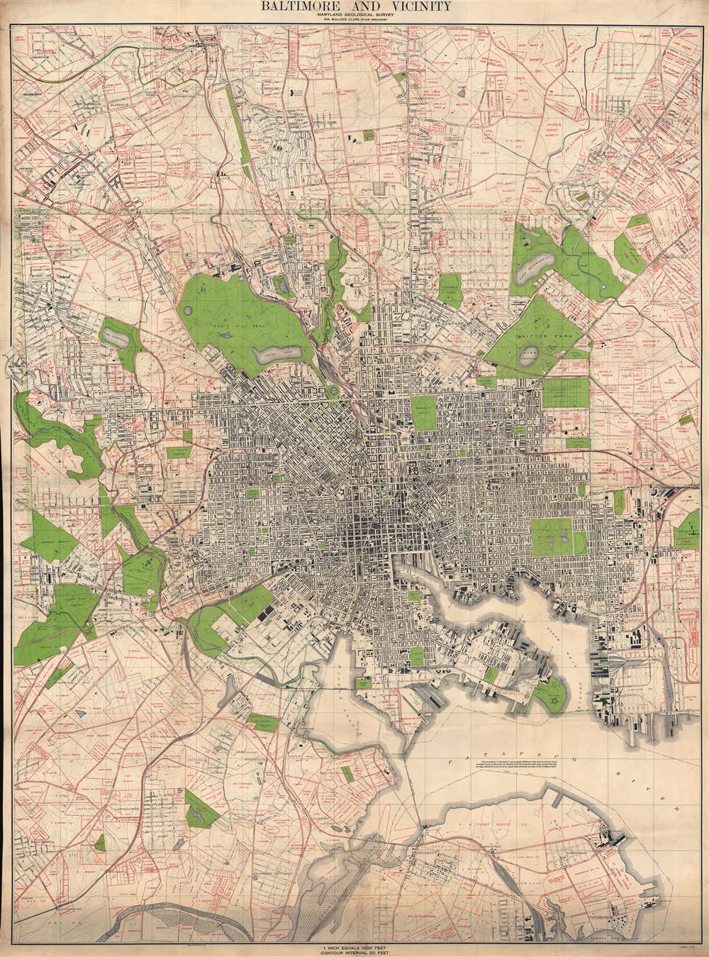
Baltimore and Vicinity.
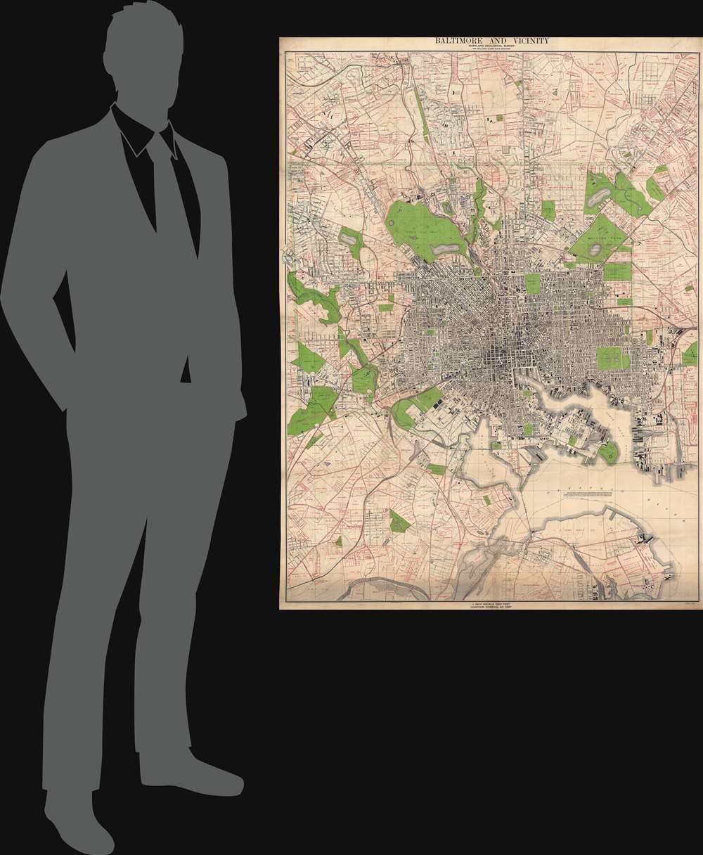
1916 (dated) 55 x 40.75 in (139.7 x 103.505 cm) 1 : 12000
1916 (dated) 55 x 40.75 in (139.7 x 103.505 cm) 1 : 12000
Description
This is a 1916 Maryland Geological Survey city plan or map of Baltimore, Maryland, and its environs. Coverage extends from Mount Washington to Brooklyn, Baltimore. Individual buildings are illustrated but rarely identified. Among the identified locations are Johns Hopkins University, Union Station, the Mount Vernon [Train] Shops, and the City Jail. Piers on the basin are identified by opperator. Red overprinting marks estates and other large property holdings both within and outside the city limits.
Publication History and Census
This map was created and published by the Maryland Geological Survey and was printed by A. Hoen and Company in Baltimore. We note seven examples cataloged in OCLC: Columbia University in the City of New York, Johns Hopkins University, Cornell University, the Library of Congress, the University of Kentucky, the University of Wisconsin - Madison, and the University of Alabama.CartographerS
Maryland Geological Survey (1896 - Present) is a division of the Maryland state government charged with 'investigating the earth resources' in the state. This includes geologic mapping, topographic and geophysical mapping, environmental geology, water-resources investigations, geology of mineral resources, and coastal and estuarine geology. In 1969, the Maryland Geological Survey became an agency within the Department of Natural Resources, and in 1995 it became a a division of the Department of Natural Resources Resource Assessment Service. More by this mapmaker...
August Hoen and Company (fl. c. 1840 - 1981) was a Baltimore based engraving and lithography firm active in the middle part of the 19th century. A. Hoen and Co. was originally founded by Edward Weber under the name 'E. Weber and Company.' Weber died in the early 1850s and his company was taken over by German immigrant August Hoen (18?? - 1886) and his brothers, Henry and Ernest Hoen. As general interest lithographers, the Hoen firm's corpus includes posters, cigar boxes, sheet music covers, and posters as well as maps. They are best known for their pioneering multi-color lithographic techniques. After the death of August Hoen, the business passed on to his son, Albert Hoen. Another son, Earnest A. Hoen, moved to Richmond, Virginia and opened a branch of the firm there where he was granted a charter to produce Civil War era Confederate Currency. Their contributions to the cartographic field are generally in association with engraving and printing work done for Jacob Monk and the U.S. Geological Survey. The Hoen family maintained an active interest in the firm for the next 100 years or so until it finally filed for bankruptcy in 1981. Learn More...
Condition
Good. Mounted on linen. Soiling. Light dampstaining in margins.
References
OCLC 62291963.