This item has been sold, but you can get on the Waitlist to be notified if another example becomes available, or purchase a digital scan.
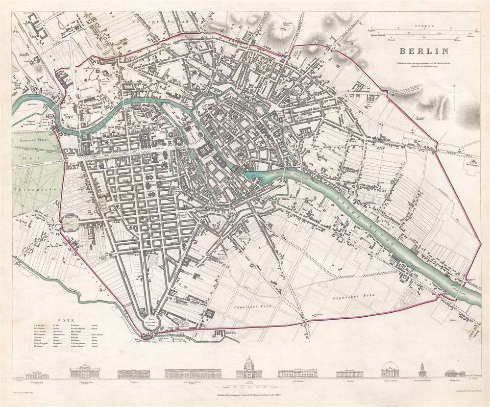
1833 S.D.U.K. City Map or Plan of Berlin
Berlin-sduk-1833
Title
1833 (dated) 12.75 x 15.5 in (32.385 x 39.37 cm) 1 : 19000
Description
This map was engraved and printed by Josiah Henshall and published by Baldwin and Cradock under the supervision of the Society for the Diffusion of Useful Knowledge in 1833.
CartographerS
Josiah Henshall (c. 1801 - 1869) was an English engraver and printer. Born in London around 1801, Henshall was the William Henshall, who was known as an architectural and landscape engraver. Over the course of his career he engraved several city plan for the Society for the Diffusion of Useful Knowledge and works for several publications. He was also trained as an architectural and landscape engraver, producing 'Henshall's illustrated topography of twenty-five miles round London' in 1837-38. He also began painting in the 1840s, and exhibited seventy works in the London shows from 1848-63. He married his wife Mary sometime before 1841, and the couple had two daughters. More by this mapmaker...
Baldwin and Cradock (fl. c. 1810 - 1860) were London based publishers working in the early to mid 19th century. They are best known for their publication of the Society for the Diffusion of Useful Knowledge's ground breaking subscription atlas. They also published John Thomson's magnificent New General Atlas from 1814 - c. 1820. In addition to their cartographic corpus, the firm had wide ranging publishing interests in many other areas, including books, broadsides, and an investment in Blackwoods Magazine. They had their offices at 47 Paternoster Row, London, England. This firm also published under the imprint Baldwin, Cradock, and Joy and Cradock and Joy. Learn More...

