
This item below is out of stock, but another example (left) is available. To view the available item, click "Details."
Details
1725 / 1835 Smith / Bonner Map of Boston, Massachusetts
$3,000.00
1725 / 1835 Smith / Bonner Map of Boston, Massachusetts
BostonBonner-smith-1835-2$1,500.00


Title
The Town of Boston in New England by Capt. John Bonner 1722.
1835 (dated) 20 x 26 in (50.8 x 66.04 cm) 1 : 5880
1835 (dated) 20 x 26 in (50.8 x 66.04 cm) 1 : 5880
Description
An illuminating window into the early history of Boston, this is George Girdler Smith's rare 1835 reissue of John Bonner's 1722 city map or plan of Boston. Considered the first printed map of Boston, Bonner's map covers the city's location on the Shawmut Peninsula, nearly an island, as it appeared in the early 18th century. Distinguished provenance linking the map to Deacon John Price of Manchester, New Hampshire.
The map includes a wealth of fascinating information about pre-Revolutionary Boston, including street layouts, churches, public buildings, and more. Bonner also illustrates Boston's importance as a port city, detailing the location of docks, shipyards, wharves, and ropewalks (the latter of these were prone to fire, causing much of the city to burn down in 1794). The harbor around Boston is full of engraved sailing ships - evidence of Boston's lively trade and prosperity. An index in the lower left identifies locales on the map, as well as the dates of fires and smallpox epidemics.
More than a century after Bonner's original map, George Girdler Smith reengraved the map and published it with the imprimatur of surveyor Stephen Fuller, seen at top (Fuller was one of the more prominent surveyors in Boston in his day and frequently worked with the city government). Two printings of Smith's reengraving exist, the present one and a second with colored inks displaying the changed coastlines, new buildings, and other additions to the city between 1722 and 1769.
Given the complexities over the various states and printings of the map, a precise census is difficult to establish, though the map is quite rare in any printing. Smith's 1835 reengraving is cataloged among the holdings of the Huntington Library, the Boston Public Library, Harvard University, the Peabody Essex Museum, Brown University, the Library of Congress, Minnesota State University Mankato, the University of Louisiana at Lafayette, and the British Library, though it is unclear which of the two printings of Smith's map these listings represent.
A Closer Look
Oriented towards the northwest, coverage includes Boston as it appeared in 1722, which bears only passing resemblance to the city today as land reclamation in the intervening years has significantly expanded the coastline and linked the historic core to lands to the south and west. Even in the central part of Boston, today's West End is effectively non-existent here; the Mill Pond at that location was only reclaimed in the early 19th century using land removed from Beacon Hill, once much taller than it is today. While much has changed, the course and even the name of streets (Salem, North, Prince), neighborhoods (Beacon Hill, Fort Hill), and other locations, such as the Granary and Copp's Hill Burying Grounds, remain.The map includes a wealth of fascinating information about pre-Revolutionary Boston, including street layouts, churches, public buildings, and more. Bonner also illustrates Boston's importance as a port city, detailing the location of docks, shipyards, wharves, and ropewalks (the latter of these were prone to fire, causing much of the city to burn down in 1794). The harbor around Boston is full of engraved sailing ships - evidence of Boston's lively trade and prosperity. An index in the lower left identifies locales on the map, as well as the dates of fires and smallpox epidemics.
Provenance
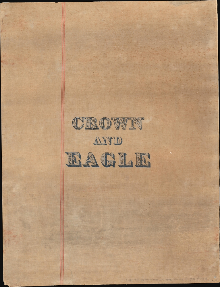
The verso linen includes the printed text 'Crown and Eagle' indicating the textile mill that made the backing, active at the time in Uxbridge, Massachusetts. A handwritten note states: 'I bought this of[f] Deacon [Price?] at Manchester in 1889.' This can only be 'Master' John Price (1808 - 1895). Born in Tamworth, New Hampshire, price relocated to Manchester in 1828. He taught at the 'Newport' and 'Middle' school before opening his own private school in 1836. There he taught until his retirement in 1872. During Price's tenure, the school was renowned for its diverse student body and excellent education. He was also a Congregational Deacon, a Selectman, and Town Treasurer. He died in 1895, at 88.Publication History and Census
This map was originally drawn by Captain John Bonner and was engraved and printed by Francis Dewing in 1722 in Boston, making it the first printed map of the city. Bonner's map was so important that nine states of it exist, as it was tweaked for years after its initial printing, with new information and stylistic flourishes added down to 1769. The present map is based on the second state (1725), nearly identical to the first except that the scale and legend at bottom-left have been engraved instead of being written in manuscript.More than a century after Bonner's original map, George Girdler Smith reengraved the map and published it with the imprimatur of surveyor Stephen Fuller, seen at top (Fuller was one of the more prominent surveyors in Boston in his day and frequently worked with the city government). Two printings of Smith's reengraving exist, the present one and a second with colored inks displaying the changed coastlines, new buildings, and other additions to the city between 1722 and 1769.
Given the complexities over the various states and printings of the map, a precise census is difficult to establish, though the map is quite rare in any printing. Smith's 1835 reengraving is cataloged among the holdings of the Huntington Library, the Boston Public Library, Harvard University, the Peabody Essex Museum, Brown University, the Library of Congress, Minnesota State University Mankato, the University of Louisiana at Lafayette, and the British Library, though it is unclear which of the two printings of Smith's map these listings represent.
CartographerS
John Bonner (1643 - January 30, 1726) was a captain, navigator, map-seller and shipwright active in Pre-Revolutionary War Boston. He was admired for his skill in navigation and was considered one of the best pilots in North America. Bonner was married to Mary Clarke Bonner (1665 - 1697), daughter of Elder Jonas Clark of Cambridge. He was survived by his wife and son, also John Bonner. His is best known for producing the first printed map of Boston, in 1722. More by this mapmaker...
George Girdler Smith (September 8, 1795 – December 18, 1878) was an American map and bank note engraver based in Boston throughout the 19th century. Smith was born in Danvers Massachusetts, the son of George Girdler Smith Sr. of Danvers and Sarah Girder of Marblehead. He was the grandson of Silas Smith, a privateer in the early part of the American Revolutionary War. He studied engraving under Abel Bowen Smith until 1815 and subsequently maintained an engraving studio on Boston’s Washington Street. In 1823 (although some suggest as early as 1818) he partnered with fellow Bowen apprentice, William B. Annin to found ‘Annin and Smith’. They were one of Boston’s earliest lithographic printers. As an engraver he worked with several other engravers and printers. In the 1850s he partnered with Charles A. Knight and George H. Tappan as ‘Smith, Knight, and Tappan’. In addition to his engraving work, he was an active churchman and a high-ranking Freemason Learn More...
Francis Dewing (fl. c. 1716 - 1722) was an engraver and printer active in Boston in the early 18th century, credited with engraving the first map printed from a cooper plate in the American Colonies ('A New Chart of the English Empire in North America by Captain Cyprian Southack') as well as engraving the first printed map of Boston ('The town of Boston in New England by Capt. John Bonner'). Little information about Dewing is available, but he was born in England and trained in London as an engraver before relocating to Boston. Learn More...
Condition
Good. Laid on original old linen with curious 'Crown and Eagle' label. Some edge wear, particularly in corners. Overall toning. A couple repaired and stabilized tears - note from right side near 'N. Battery' and from left side near 'Orange Street'.
References
OCLC 556668034. Massachusetts Historical Society, Maps I.b.1.70.