This item has been sold, but you can get on the Waitlist to be notified if another example becomes available, or purchase a digital scan.
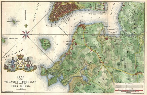
1864 McCloskey Map of Brooklyn, New York City, in 1766
Brooklyn1766-mccloskey-1864
Title
1864 (dated) 11 x 17 in (27.94 x 43.18 cm)
Description
Cartographer
Henry McCloskey (fl. c. 1863 - 1867) was a journalist working in Brooklyn in the mid 19th century. He was the first regular reporter employed by the Brooklyn Daily Eagle and consequently the first true Brooklyn reporter. When the editor Arnold resigned, McCloskey stepped up to the position became Editor-in-chief. An ardent southern sympathizer and fierce advocate of states' rights, McCloskey had no shame in using the Eagle to express his radical political views. In 1861, following the outbreak of the Civil War, McCloskey published a series of aggressive anti-war editorials. Shortly thereafter, the Eagle, along with several other news papers including the New York News, were accused of disloyalty to the Union and denied access to the U.S. Mail system. The charges were dropped when McCloskey resigned shortly afterwards. McCloskey's true interest was government and in 1863 he was voted city clerk for Brooklyn. He retained this position from 1863 to 1867. Both his predecessor and successor seem to have been William Bishop. One of the duties of the city clerk was to publish an annual report detailing the government, progress, urban planning and development of the city. The resulting Manual bearing the McCloskey name was published during his four years of tenure as City Clerk. The first Brooklyn Manual was published in 1855 following the consolidation of the city. The Manual was published under various names and in various forms until 1888. More by this mapmaker...

