This item has been sold, but you can get on the Waitlist to be notified if another example becomes available, or purchase a digital scan.
1818 Ildefonso de Aragon Map of Tondo (Manila vicinity), Philippines
BulacanManilaBay-depositotopografico-1818$4,500.00

Title
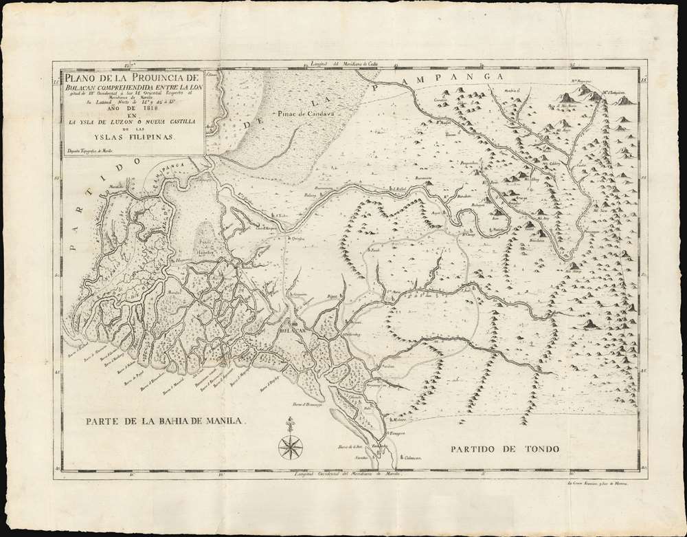
Plano de la Prouincia de Bulacan Comprehendida Entra La Lon gitud de 18' Occidental à los 14' Oriental Respecto al Meridiano de Manila Su Latiud Norte de 14° y 42' à 15° Año de 1818 en La Ysla de Luzon ò Nueua Castilla de la Yslas Filipinas.
1818 (dated) 18.5 x 21.5 in (46.99 x 54.61 cm)
1818 (dated) 18.5 x 21.5 in (46.99 x 54.61 cm)
Description
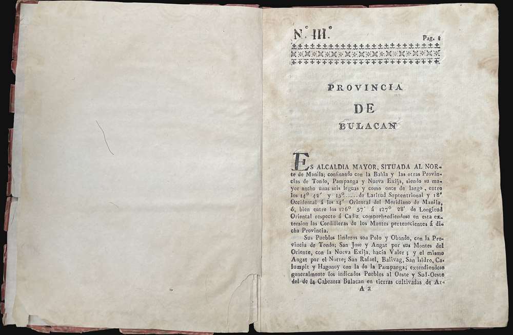
An outstanding example of the 1818 Deposito Topografico / Ildefonso de Aragón map of the province of Bulacan, Philippines, accompanied by the 21-page text Provicia de Bulacan. This is the first specific map of a Philippine province, compiled as part of Ildefonso, and the Deposito's flagship effort to bring structured modern survey techniques to the archipelago.
A Closer Look
The map embraces Bulacan, the area along Manila Bay northwest of Metro Manila roughly as far as the complex Pampanga River delta. This includes the northernmost regions of Metro Manila, including Valenzuela, Coloocan, Bocaue, and Santa Maria, as well as Malolos and Guiguinto. Navigable river networks, as well as established roads, including important bridges, are noted.Ildefonso de Aragón's Great Work
The map and accompanying text constitute part three of a six-part cartographic series detailing the Philippine island of Luzon entitled, Descripcion geografica y topografica de la Ysla de Luzon o Nueva Castilla. Other maps in the series include maps of Manila, Tondo, Pampanga, Pangasina, and northern Luzon. Each map was accompanied by a descriptive text detailing the provinces topography, cartography, population, and history. The parts were published separately from 1818 to 1821. The sections can be found issued separately (as here), as well as bound together in a single volume. The text for all sections was composed by Ildefonso de Aragón, founder of the Deposito Topografico and 'father of Philippine statistics and scientific topography'.Publication History and Census
The map was drafted at the Manila office of the Deposito Topografico by Vizente Anastacio de Castro, then engraved and printed in the same office by Francísco Javier de Herrera. Of the separate map, the OCLC notes no examples, but we have identified one, in deplorable condition, in the National Library of the Philippines. We note the complete series, with maps, in perhaps twenty institutions worldwide.CartographerS
Deposito Topografico (1819 - 1898) was a Spanish mapping agency based in Manila, the Philippines, during the Spanish period. The Deposito was founded by Ildefonso de Aragón y Abollado (1760 - 1838) in 1819 to bring modern surveying and mapmaking techniques to the archipelago. It issued numerous maps of the Philippines and Philippine provinces, as well as textual geographies. Most were engraved and printed locally using fine Philippine rice paper. It remained in operation until 1898, when 300 years of Spanish rule abruptly ended. More by this mapmaker...
Ildefonso de Aragón y Abollado (January 5, 1760 - December 29, 1838), also spelled Yldefonso, was a Spanish engineer active in Spain and the Philippines during the late 18th and early 19th centuries. He was born in Andalusia in 1760, and in 1775 began studying as a cadet at the Real Colegio de Artillería de Segovia. In July 1777, he transferred to the Infantería de Toledo garrisoned in Cádiz. Afterwards he went on to carry out his regulatory studies at the Academia de Matemáticas de Barcelona. He entered the Cuerpo de Ingenieros on August 6, 1782. He was subsequently assigned to a variety of posts in Spain. In 1789 he was with the Dirección de Ingenieros de Andalucía, for whom he compiled a topographic map of Jerez de la Frontera. He left for the Philippines in March of 1802, where he was stationed for more than 20 years as the chief of the Manila Deposito Topografico. He became commander of the Royal Corps of Military Engineers, and is described by Retana as the 'father of Philippine statistics and scientific topography'. From his arrival in the Philippine Islands until his departure to the peninsula in 1827, he carried out fruitful work, surveying and compiling plans and maps, and overseeing the construction of numerous buildings and fortifications. Among the his maps and plans are a schematic of the Manila Artillery barracks proposing three projects (1805); a profile of the Marulal bridge in the Cavite Viejo (1812); a Map of Manila (1814, the year, moreover, in which he was promoted to Colonel of Engineers); plans of the provinces of Bulacán and Tondo (1819), a Topographic map of Pampanga, a plan of the city of Manila (1818); a choreographic plan of the of Pangarinán (1821); a geographic map of the province of Batangas (1821); and, finally, a plan of the Campo Santo de Manila, Paco (1823). He founded the Deposit Topografico de Manila in 1819, and from 1820 was a member of the Real Sociedad Económica de Manila. He returned to Spain in 1827 and died in Chiclana in 1838. Learn More...
Francísco Javier de Herrera (fl. c. 1800 - 1830) was a Spanish engraver based in the Philippines in the late 18th and early 19th centuries. Learn More...
Vizente Anastacio de Castro (fl. c. 1800 - 1830) was a Spanish draftsman active in the Philippines in the early 19th century. Learn More...
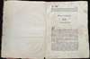
Condition
Very good. Closed and repaired fold separation top right, near title.
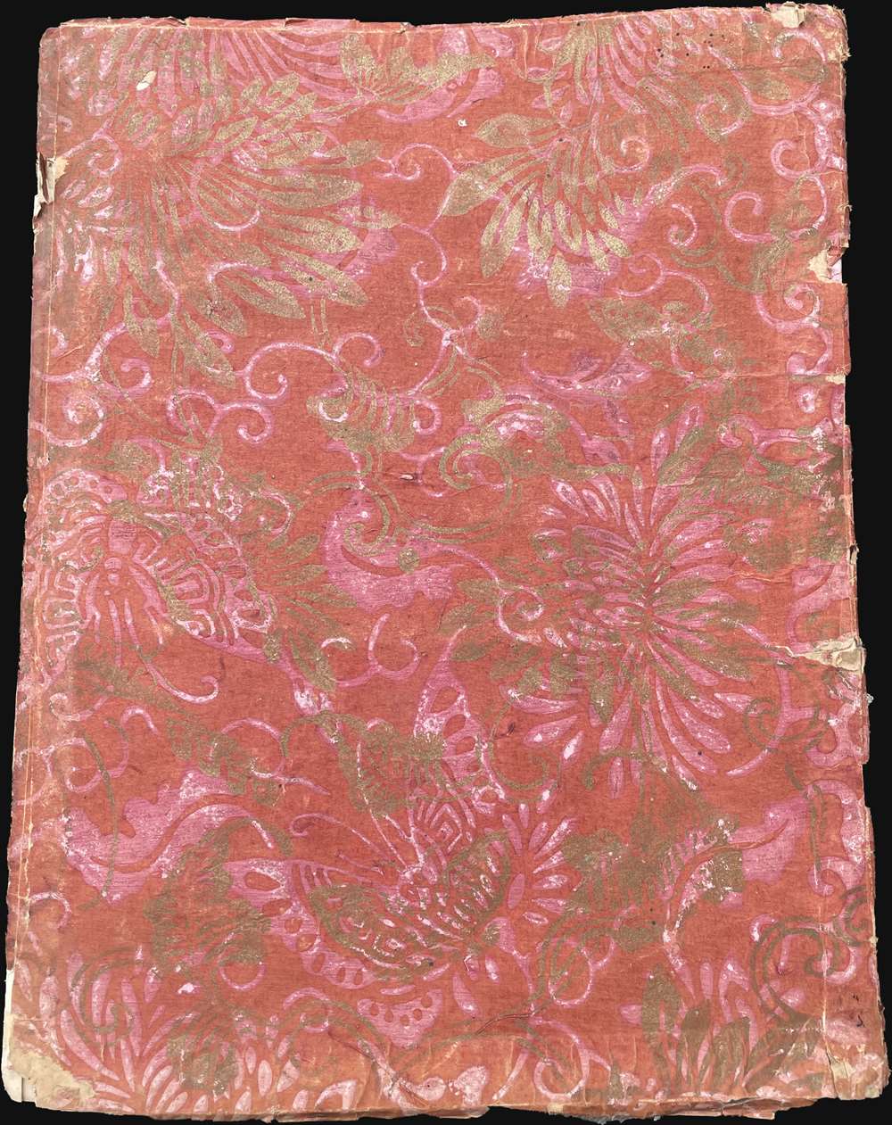
A few minor reinforcements at old fold intersections. Accompanied by original text volume in traditional Philippine wrappers.
References
OCLC 733643485. Biblioteca Nacional de España, #R/3606 (3). Staatsbibliothek zu Berlin (full volume) SBB00007CEB00000000. Edinburgh University Library, Special Collections S.B. .312(914)04/1 Phi. The Murillo Bulletin, (PHIMCOS), June 2017, Issue 4, back cover.