This item has been sold, but you can get on the Waitlist to be notified if another example becomes available.
1958 Servicio Geográfico del Ejército Map of Morocco and Spanish Sahara
CaboYubiBojador-ejercito-1958$375.00

Title
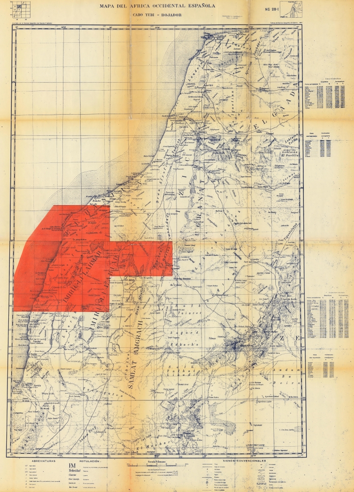
Mapa del Africa Occidental Española. Cabo Yubi - Bojador.
1958 (dated) 41 x 28.5 in (104.14 x 72.39 cm) 1 : 500000
1958 (dated) 41 x 28.5 in (104.14 x 72.39 cm) 1 : 500000
Description
This is a 1958 Spanish Servicio Geográfico de Ejército map of Morocco and the Spanish Sahara. Published either during or just after the end of the Ifni War, the map highlights the oil-producing region in the Spanish Sahara. It includes a small part of the region ceded to Morocco along the top.
A Closer Look
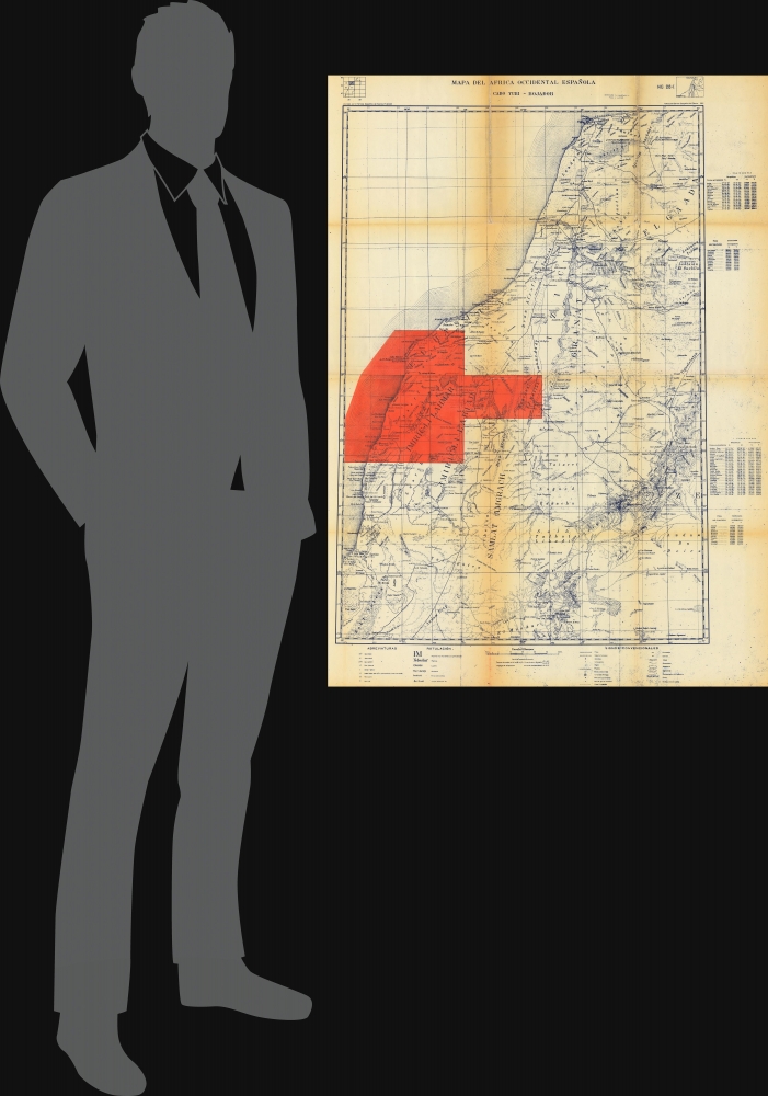
Depicting the West African coast from modern-day Tarfaya in Morocco south to 15°W longitude, cities, towns, villages, regions, and other geographic areas are identified. Ravines, dunes, elevated regions, mudflats or salt flats (sebjets), and other physical features are labeled. The brilliant orange area highlights an oil region exploited by an American company and three Spanish companies: Richfield Sahara Petroleum, Spain-Cities Service, CAMPSA, and BANESTO. Oil was first discovered by the Spanish in the Spanish Sahara in the 1940s.The Ifni War
The Ifni War (October 23, 1957 - June 30, 1958) was a colonial war fought by Spain and France against newly independent Morocco. Ignited by Moroccan claims to Spain's remaining West African colonies, Moroccan forces began attacking in November, eventually driving all Spanish forces into Sidi Ifni, where they were under siege until June 1958. Heavy fighting took place in the Spanish Sahara, where the Moroccan Army of Liberation engaged the Spanish at Edchera and El Aaiún. A joint Franco-Spanish force drove the Moroccans out of Spanish Sahara by February 1958. In April, Spain and Morocco signed the Treaty of Angra de Cintra. The Spanish ceded the Juby Strip (Cape Juby and the region of Tarfaya) to Morocco, an area between the river Draa and the parallel 27°40'. Spain did not fully relinquish Ifni until 1965 under pressure from the United Nations.Diazo Print or Whiteprint
The diazo print (whiteprint or diazo for short) is a photo reproductive technique best understood as a reverse cyanotype or blueprint. The process yields distinctive blue lines on white paper. Like cyanotypes, the diazo process gained popularity in architecture circles, where it was a simple and effective way to duplicate documents in the field. The earliest diazotypes appeared around 1880 and were adopted for military and field cartographic use from about 1895. The diazo process was commercialized in 1923 when the German firm Kalle and Company developed Ozalid, a patented diazo paper that made diazotyping even easier. By the 1950s, it supplemented cyanotypes as the reprographic technique of choice for technical drawings.Publication History and Census
This map was created and published by the Servicio Geográfico del Ejército in 1958. We are aware of only one other cataloged example, which is part of the collection at the Instituto Geológico y Minero de España.Cartographer
The Service Geográfico del Ejército (1939 - 1998) was established in 1939 after the Spanish Civil War. It took over the geographical and cartographical functions of the Spanish Army from the Depósito de la Guerra, which was founded in 1838 as part of the General Directorate of the General Staff Corps. The Army School of Geodesy and Topography was founded in 1941. In 1998, the Centro Geográfico del Ejército was founded and took over all the functions of the Service Geográfico. More by this mapmaker...
Condition
Good. Two sheets joined. Wear and toning along original fold lines.