1912 Silk Scarf Map of Italy and its Overseas Possessions (Military Districts)
CircoscrizioniMilitari-unknown-1912$350.00

Title
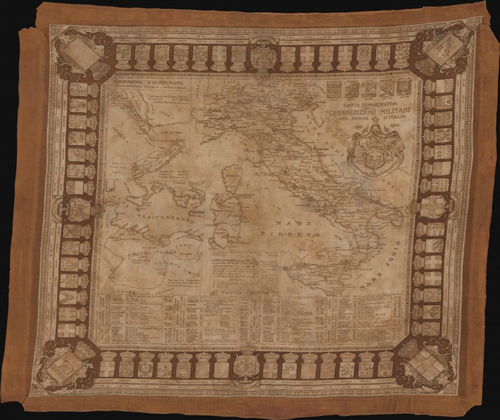
Carta Dimostrativa delle Circoscrizioni Militari del Regno d'Italia.
1912 (dated) 21.5 x 25.5 in (54.61 x 64.77 cm) 1 : 3800000
1912 (dated) 21.5 x 25.5 in (54.61 x 64.77 cm) 1 : 3800000
Description
This is a 1912 map of Italy printed on silk. The piece was likely produced for tourists traveling in Italy on the early 20th century version of the Grand Tour. As a textile, it offers users both the functional practicality of a guide map as well as the durability of a scarf.
A Closer Look
Cities, towns, and villages are labeled throughout Italy. Numerous locations are numerically identified and correspond with a table along the bottom border. Insets along the left border illustrate Italy's African possessions: Eritrea, Somalia, and Tripolitania (Libya). Cities and regions are labeled with population data provided. The coats of arms of Italian cities create the map's border, with Rome, Naples, Turin, and Milan occupying the corners. The population of each city is provided as well.Publication History and Census
This map was created by an unknown cartographer and printed on this silk by an unknown company. We note one other example in a private collection.Condition
Average. Loss to all four corners. Crease to upper right corner. Faded. Some wear and fraying to edges.