This item has been sold, but you can get on the Waitlist to be notified if another example becomes available.
1965 Dolph Map Company Tourist City Plan or Map of Delray Beach, Florida
DelrayBeach-dolph-1965$75.00


Title
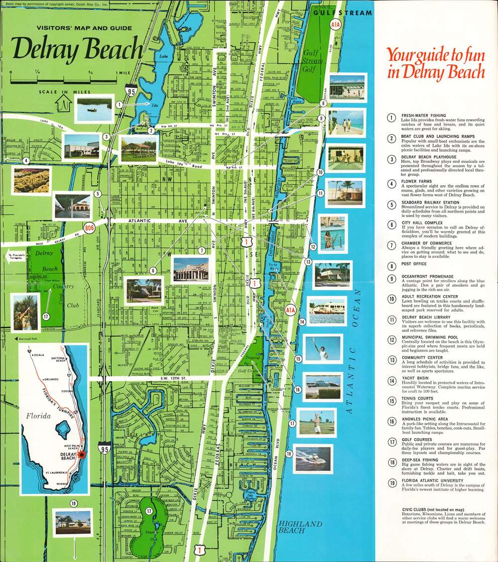
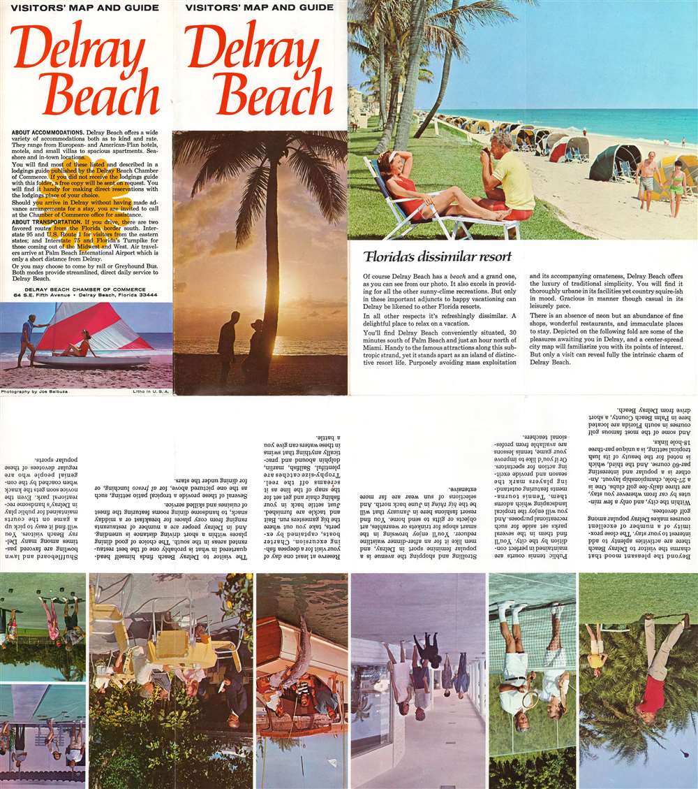
Visitors' Map and Guide Delray Beach.
1965 (undated) 18 x 16 in (45.72 x 40.64 cm) 1 : 19495
1965 (undated) 18 x 16 in (45.72 x 40.64 cm) 1 : 19495
Description
This is a c. 1965 Dolph Map Company tourist city plan or map of Delray Beach, Florida. Printed photographs mark nineteen locations across Delray Beach, including the flower farms, the oceanfront promenade, and the boat club. Other identified locations include the post office, the chamber of commerce, and City Hall. Two country clubs and two golf courses are prominently illustrated. Thick white lines highlight important thoroughfares, while thin black lines mark and label streets. An inset along the left border situates Delray Beach in relation to Miami, Orlando, and Daytona Beach.
Publication History and Census
This map was created by the Dolph Map Company and published by the Delray Beach Chamber of Commerce c. 1965.Cartographer
Frank B. Dolph (October 3, 1897 - November 26, 1975) was an American businessman and map publisher. Born in Great Neck, Long Island, New York, Dolph served as a Navy storekeeper during World War I. He began selling maps in 1919 after returning from England, likely for the George F. Cram Company, where he ultimately became an administrative aide. He also worked for the Rand McNally Company for some time before he founded his own map publishing firm, Dolph and Stewart, with his friend, sometime in the 1920s. Dolph and Stewart made maps throughout the 1920s and 1930s until they sold the firm in 1945 when Dolph decided to return to Florida. Dolph opened a new map publishing business, the Frank B. Dolph Map Co. in Ft. Lauderdale and published city plans of cities throughout the United States. Many of his maps were distributed by Chambers of Commerce or sold at newsstands. Real estate developers greatly appreciated his maps, those published by both the Dolph and Stewart Company and the Frank B. Dolph Company. Dolph retired as president of his firm around 1965, when he handed the business off to his son, Frank B. Dolph, Jr. Dolph worked with cartographer Theodore M. Politano for decades while operating the Frank B. Dolph Map Company. More by this mapmaker...
Condition
Very good. Exhibits light wear along original fold lines. Verso repair to fold separation. Text and printed images on verso.