
Dolph, Frank B.
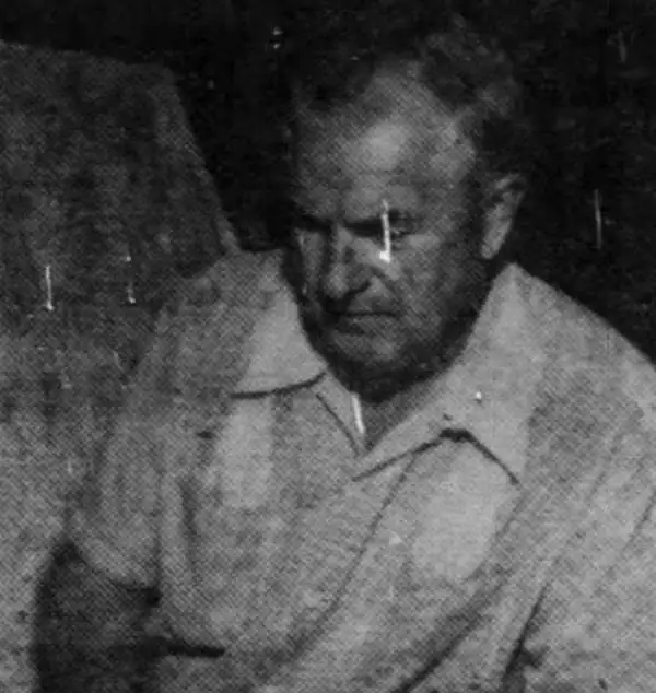
Frank B. Dolph (October 3, 1897 - November 26, 1975) was an American businessman and map publisher. Born in Great Neck, Long Island, New York, Dolph served as a Navy storekeeper during World War I. He began selling maps in 1919 after returning from England, likely for the George F. Cram Company, where he ultimately became an administrative aide. He also worked for the Rand McNally Company for some time before he founded his own map publishing firm, Dolph and Stewart, with his friend, sometime in the 1920s. Dolph and Stewart made maps throughout the 1920s and 1930s until they sold the firm in 1945 when Dolph decided to return to Florida. Dolph opened a new map publishing business, the Frank B. Dolph Map Co. in Ft. Lauderdale and published city plans of cities throughout the United States. Many of his maps were distributed by Chambers of Commerce or sold at newsstands. Real estate developers greatly appreciated his maps, those published by both the Dolph and Stewart Company and the Frank B. Dolph Company. Dolph retired as president of his firm around 1965, when he handed the business off to his son, Frank B. Dolph, Jr. Dolph worked with cartographer Theodore M. Politano for decades while operating the Frank B. Dolph Map Company.
Atlantic City's age of nightclubs.
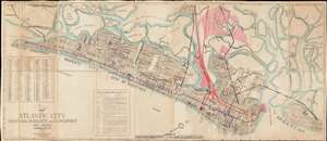
Map of Atlantic City Ventnor, Margate and Longport New Jersey.
$800.00
Acquire
- Digital Map Information
- Suitable for large format printing
- File Size: 25.16 MB
- File Type: ZIP / TIFF
- ICC color profile embedded
- Delivered instantly via download link
This is a c. 1934 Dolph and Stewart city plan or map of Atlantic City, New Jersey, and its immediate environs highlighting trolley routes in the area. The map depicts the region from the Borough of Longport to Brigantine and from Belvidere Place to the Atlantic Ocean, including Ventnor and Margate. Manuscript notations trace the trolley routes in different colors and a manuscript legend along the bottom border identifies the operators. Intriguingly, both the Atlantic City and Longport Branch of the West Jersey and Seashore Railroad and the Atlantic City and Shore Railroad, popularly known as the Shore Fast Line, are crossed out in pencil and labeled as the Atlantic City Transportation Company. We have been unable to unearth a concrete history for the Atlantic City Transportation Company. The red lines trace the Pennsylvania-Reading Seashore Lines, which operated in New Jersey from 1933 until 1976, and was jointly-owned by the Pennsylvania Railroad and the Atlantic City Railroad. (more details)
Savannah near the end of World War II.
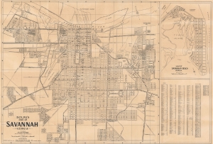
Dolph's Map of Savannah, Georgia.
$350.00
Acquire
- Digital Map Information
- Suitable for large format printing
- File Size: 87.46 MB
- File Type: ZIP / TIFF
- ICC color profile embedded
- Delivered instantly via download link
This is a c. 1945 Frank B. Dolph city map of Savannah, Georgia, depicting the city near the end of World War II. (more details)
Florida's Highway Building Boom.
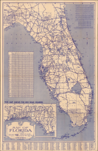
Map of Florida. / Dolph's Informative Florida Map showing New State Road Numbers.
$125.00
Acquire
- Digital Map Information
- Suitable for large format printing
- Full resolution TIFF file
- ICC color profile embedded
- Delivered instantly via download link
This is a large-format, c. 1945 Frank Dolph folding highway map of Florida. The map reflects Florida's sweeping 1940s expansion of its highway system, built to accommodate the state's rapidly rising population and growing tourism industry. (more details)
The safe and fast Florida Turnpike!
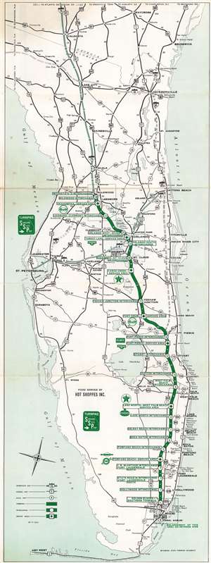
This is a c. 1964 Dolph Map Company and Florida State Turnpike Authority road map of Florida. A thick green line highlights the Florida Turnpike (Sunshine State Parkway) from Wildwood to Miami. White circles bearing green numbers mark the thirty interchanges, with small white numbers note milage. Federal and state highways are illustrated by black lines and are identified numerically. Interstate 4 and Interstate 75 are marked by thick lighter green lines, while the still incomplete Interstate 95 runs along the Atlantic coast. (more details)