1845 Ewing Map of Denmark
Denmark-ewing-1845$100.00

Title
Denmark.
1845 (undated) 9.5 x 8 in (24.13 x 20.32 cm) 1 : 5870000
1845 (undated) 9.5 x 8 in (24.13 x 20.32 cm) 1 : 5870000
Description
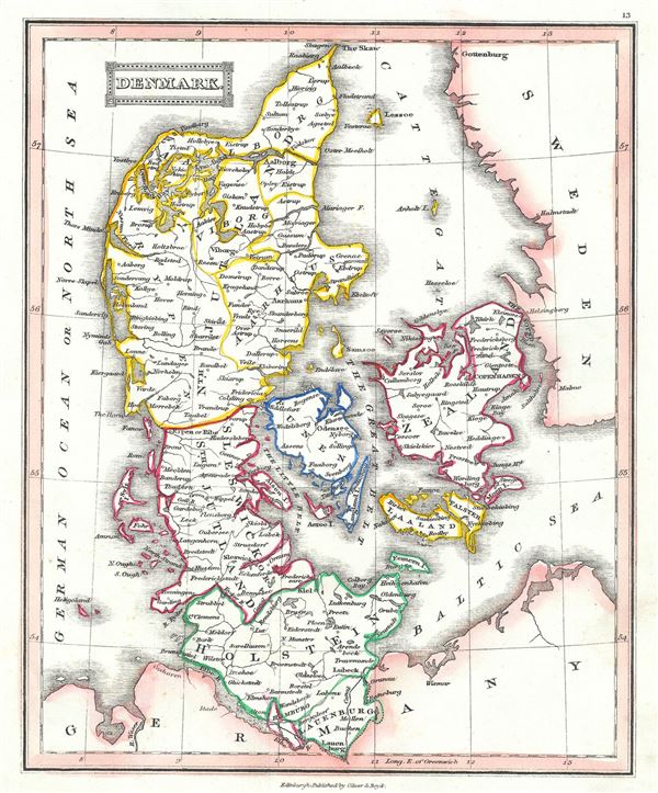
This is a scarce 1845 Thomas Ewing map of Denmark. It covers all of Denmark inclusive of the Duchies of Schleswig and Holstein. Numerous towns, rivers, roads, mountains and other important topographical features are noted throughout.
During the time this map was made, Denmark was on the brink of the First Schleswig War between Prussia, Germany and the duchies of Holstein and Schleswig against the Kingdom of Denmark. In 1848, when the king of Denmark, Frederick VII, proposed that the Duchies of Schleswig and Holstein be formally recognized as part of the Danish Kingdom, the predominantly German population of the two duchies rebelled for a free constitution, resulting in war. Denmark ultimately won the war and retained control of Schleswig-Holstein.
This map was published in 1845 by Oliver and Boyd as part of Ewing's New General Atlas.
Source
Oliver and Boyd, Ewing's New General Atlas: containing Distinct Maps of all the Principal States and Kingdoms throughout the World, (Edinburgh) 1845.
Condition
Very good. Minor foxing at places. Blank on verso.