This item has been sold, but you can get on the Waitlist to be notified if another example becomes available, or purchase a digital scan.
1910 Birga 'Monumental' Pictorial Map of Florence / Firenze, Tuscany, Italy
Firenze-birga-1910$425.00

Title
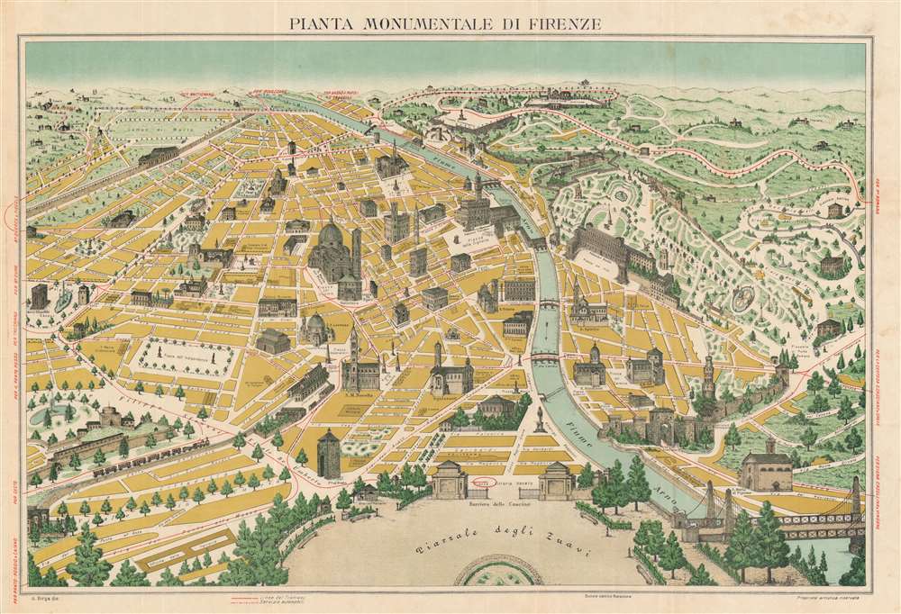
Pianta Monumentale di Firenze.
1910 (undated) 20.25 x 29.75 in (51.435 x 75.565 cm)
1910 (undated) 20.25 x 29.75 in (51.435 x 75.565 cm)
Description
A rare pictorial chromolithograph perspective view and map of Florence / Firenze, Italy. The view is centered roughly on the Palazzo Vecchio, and looks south on Florence from a fictional highpoint above today's Pizzale Vittorio Veneto, labeled here Piazzale degli Zuavi. The map follows in a style popular at time wherein buildings and monuments are superimposed as profile vignettes over an otherwise simple perspective map - impractical for serious navigation, but a wonderful aid to the tourist on foot. Here, red highlighting illustrates tram routes (solid lines) and automobile routes (dashed lines, note there are only 3 such roads). Similar maps have been made of Paris, London, Rome, Madrid, and other popular European tourist centers.
Chromolithography
Chromolithography is a color lithographic technique developed in the mid-19th century. The process involved using multiple lithographic stones, one for each color, to yield a rich composite effect. Oftentimes, the process would start with a black basecoat upon which subsequent colors were layered. Some chromolithographs used 30 or more separate lithographic stones to achieve the desired product. Chromolithograph color could also be effectively blended for even more dramatic results. The process became extremely popular in the late 19th and early 20th centuries, when it emerged as the dominate method of color printing. The vivid color chromolithography produced made it exceptionally effective for advertising and propaganda imagery.Publication History and Census
This view was drawn by A. Birga and published in Florence, Italy by the Società Editrica Florentina around 1910. The view is undated and appears in just one edition. The inclusion of the tramways, which were electrified in 1898, and limited 'Servizio Automobili' roads, suggest it must have been issued between 1900 and 1910, when the cars were just becoming popular in northern Italy. This map is rare. We are aware of only 2 examples in institutional collections: at the Leventhal Map Center at the Boston Public Library and the Sächsische Landesbibliothek - Staats- und Universitätsbibliothek, Dresden.CartographerS
A. Birga (fl. c. 1898 - 1920), possibly Arturo, was a Florentine publisher active in the late 19th and early 20th centuries. His earliest work is a tourist guide to Florence, published in 1898. Other work credited to Birga in library catalogs date to as late as 1920. More by this mapmaker...
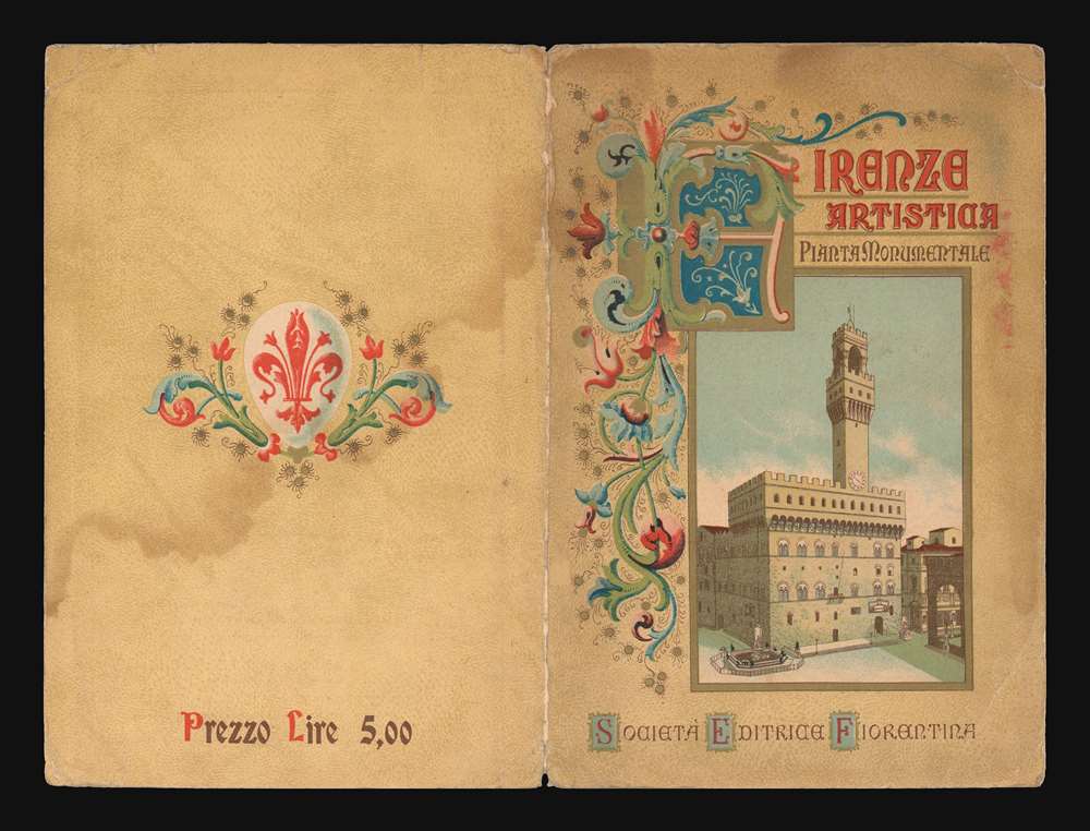
Società Editrica Florentina (c. 1825 - 1930) was a Florentine publishing house founded in the early 19th century. They published books and maps concerning the history of Italy and Florence - mostly geared to the tourism market. In the Biblioteca Centrale di Firenze, their publications appear to 1930, after which they disappear. In 1997, the imprint was resuscitated, but the current publishing house is unrelated to the original. Learn More...
Condition
Very good. Left margin extended. Minor archival tissue verso reinforcements to old fold intersections.
References
Boston Public Library, Leventhal, G6714.F5A3 1890 .B57.