This item has been sold, but you can get on the Waitlist to be notified if another example becomes available, or purchase a digital scan.
1950 Road Department Map of Florida Highways w/ Detour Bulletin
Florida-roaddepartment-1950$197.50


Title
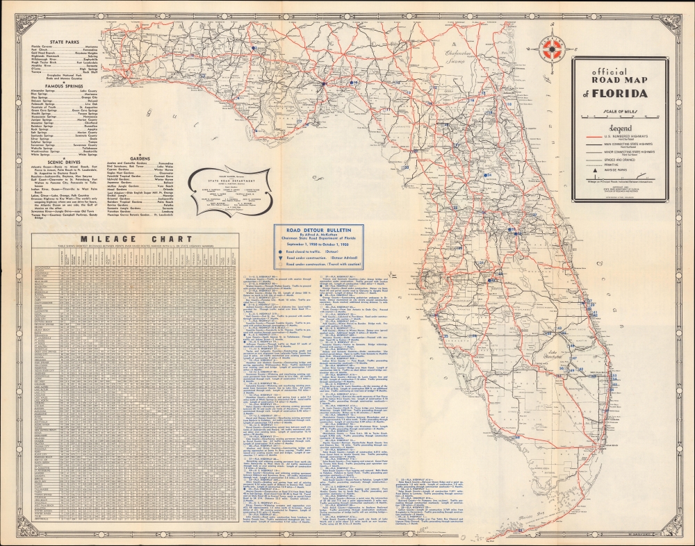
Official Road Map of Florida / Florida Highways Official Detour Bulletin for period shown in heading on map side.
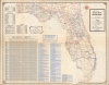
1950 (dated) 21.75 x 27 in (55.245 x 68.58 cm) 1 : 950000
1950 (dated) 21.75 x 27 in (55.245 x 68.58 cm) 1 : 950000
Description
An unusual 1950 road map of Florida produced by the State Road Department. In addition to highways, major roads, and cities, it provides information on detours and construction, reflecting the rapid pace of road construction in the state.
A Closer Look
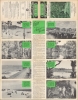
Red lines highlight U.S. Highway routes, and solid black lines mark major and minor state highways. Additional lines define graded and drained routes (preparation for construction) and 'primitive' roads. A mileage chart of major cities and towns appears in the lower left. Lists of state parks, famous springs, scenic drives, and gardens occupy the top-left. Blue overprinting at the bottom lists roads under construction, detours, and suggested detours for the upcoming year. Cities, towns, lakes, rivers, county lines, Indian reservations, and other features are also noted. A decorative border includes charming illustrations of an alligator, fish, flamingos, and bird in the corners. Pictures and descriptions relating to the state park system occupy the verso.Connecting the Sunshine State
This map was produced during the postwar population boom in Florida, which prompted the rapid construction of highways to meet both the growing permanent resident population and rising numbers of tourists and seasonal residents. The rudiments of this highway system had been constructed during and after the Florida Land Boom of the early 20th century. Though the real estate market crashed with the Great Depression, federal funding helped to expand Florida's road network, including the impressive Overseas Highway through the Florida Keys, completed in 1938.Publication History and Census
This map was prepared by the Division of Research and Records of the State Road Department of Florida in 1949, with the detour bulletin added the following year. The name W. Sanford appears in the border at the bottom-right, perhaps the artist for the border rather than a cartographer. It was printed in Florida by the Orlandao based Robinsons Litho. This detour bulletin (as opposed to the unmodified annual road map) is held by the State Library of Florida, Jacksonville Public Library, Hillsborough County Public Library, and the University of South Florida. However, there appears to have been multiple detour bulletins published in that year (May-June, for example, and September-October here).Condition
Very good. Light wear along original fold lines. Text and printed images on verso.
References
OCLC 44430687.