This item has been sold, but you can get on the Waitlist to be notified if another example becomes available.
1986 Teall's Guide Nautical Chart of the Florida Keys, Key Largo to Conch Key
FloridaKeysLargoConch-teallsguide-1986$100.00


Title
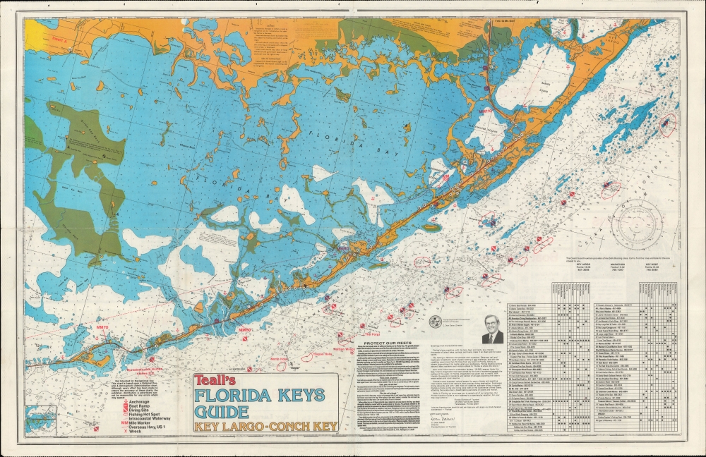
Teall's Florida Keys Guide Key Largo - Conch Key.
1986 (dated) 21.75 x 33.25 in (55.245 x 84.455 cm) 1 : 31000
1986 (dated) 21.75 x 33.25 in (55.245 x 84.455 cm) 1 : 31000
Description
A colorful 1986 Russ Teall nautical map of the Florida Keys from Key Largo to Conch Key. It provides extensive information on the waters and recreational activities around the Keys, as well as businesses and services on land.
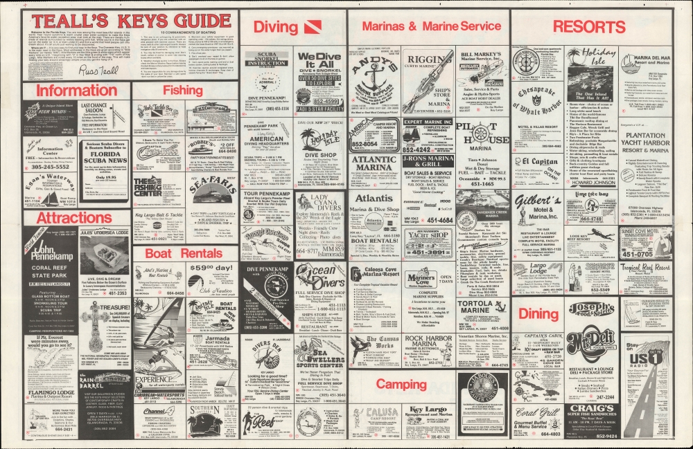
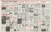
The verso includes a preface by Teall and the '10 Commandments of Boating,' mostly relating to safety preparations, responsible practices, and not damaging coral reefs. Most of the verso consists of advertisements for local businesses, broken down into categories as in the index table on the recto.
A Closer Look
Covering Key Largo to Long Key, with Conch Key depicted in an inset at bottom left and portions of the South Florida mainland appearing at top, this chart includes information on soundings, bottoms, hazards, anchorages, buoys, banks, and more. Fishing hotspots, diving sites, the sites of shipwrecks, and the Intracoastal Waterway are also marked. On land, U.S. Highway 1 (the Overseas Highway), bridges, and various local businesses (indicated by numbers corresponding to an index at bottom-right) are labeled. The businesses range from those offering boat rental and fishing equipment to restaurants and resorts. Text at bottom urges readers to avoid damaging reefs, a cause dear to Teall (see biography below), and includes an endorsement from C. Dean Gaiser, Director of the Florida Division of Tourism.The verso includes a preface by Teall and the '10 Commandments of Boating,' mostly relating to safety preparations, responsible practices, and not damaging coral reefs. Most of the verso consists of advertisements for local businesses, broken down into categories as in the index table on the recto.
Publication History and Census
This chart was prepared and published by Russ Teall in 1986. It is based on a chart by the National Oceanic and Atmospheric Administration. The OCLC notes a 1983 edition of this chart in three locations, but the present edition is not recorded.Cartographer
Russell 'Russ' Teall (c. 1950 - present) is a Marathon, Florida-based cartographer and producer of multiple guides and tide charts in the 1980s and 1990s. He is also the founder of the non-profit Florida Keys Marine Sanctuaries, Inc., which was founded with the mission of establishing a sanctuary over Sombrero Reef, and later to placing mooring buoys and producing educational materials about non-sanctuary reefs. Teall's organization was one of several that successfully pressed the federal government to establish the Florida Keys National Marine Sanctuary, designated in 1990, which protects some 2,900 square nautical miles of ocean and coastal waters. More by this mapmaker...
Condition
Good. Wear along original folds. Text on verso.
References
OCLC 44133561 (1983 edition).